Earth
ID: 13712
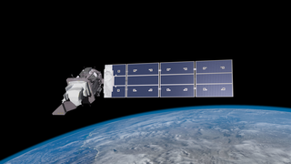
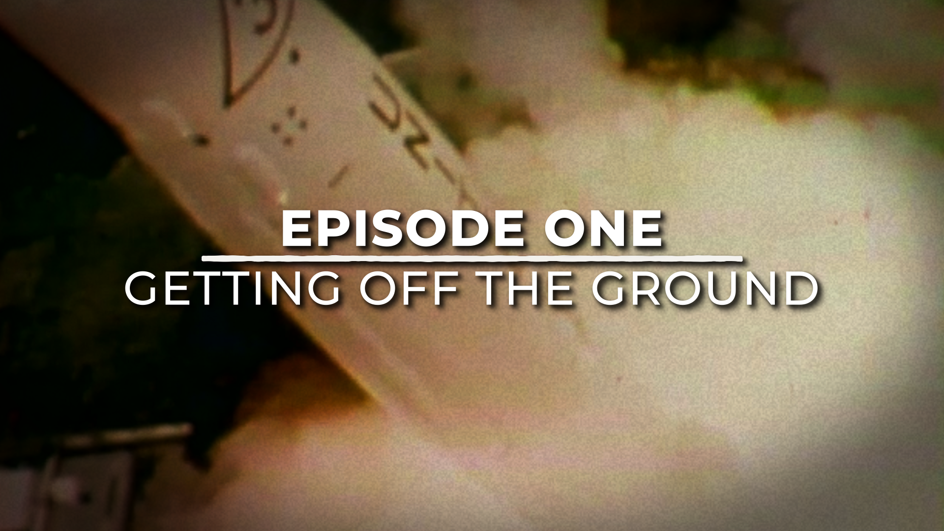
Five decades ago, NASA and the US Geological Society launched a satellite to monitor Earth’s land from space. It was the beginning of a legacy. The Apollo era had given us our first looks at Earth from space and inspired the idea of regularly collecting images of our planet. The first Landsat — originally known as the Earth Resources Technology Satellite, or ERTS — rocketed into space in 1972. Since then, there have been eight Landsats and we’re preparing to launch number nine.
The Landsat legacy stretches far and wide. Using visible and infrared light, Landsat helps track the health of crops, shows ocean pollution, and tracks coral reefs, icebergs and more. Thanks to sensor that can record wavelengths beyond what we can see with our eyes, Landsat can record vital information about Earth's surface.
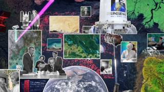
Narrated by the actor Marc Evan Jackson, who played a Landsat scientist in the movie Kong: Skull Island (2017), this series of videos tells the story of Landsat 9. From the birth of the Landsat program to the present preparations for launching Landsat 9 and even a look to the future with Landsat NeXt.
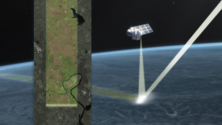
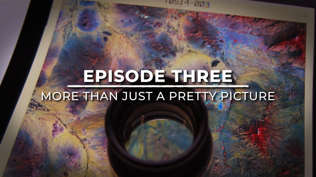
The early Landsat satellites carried a sensor that could “see” in visible light — like humans — plus a little bit of near-infrared light. Newer Landsats, including the coming Landsat 9 mission, have two sensors: the Operational Land Imager (OLI) and the Thermal Infrared Sensor (TIRS). Together, they see visible, near-infrared, shortwave-infrared, and thermal infrared wavelengths. By comparing observations of different wavelengths, scientists can identify algal blooms, storm damage, fire burn scars, the health of plants, and more.
Landsat beams data down to ground stations on Earth, where it is recorded to four different drives as back up. The redundancy of data storage is really important. The Landsat legacy includes almost 50 years of observations of Earth from space — one of the longest space-based data records in existence.
The length of Landsat’s data record is crucial for studying change over time. From the growth of cities, to the extension of irrigation in the desert, to insect damage to forests, to plant regrowth after a volcanic eruption, Landsat lets us see our planet change. As of 2008, all of that data is free to the public. Anyone can download and use Landsat imagery — for everything from beautiful art to studying how our planet is changing.
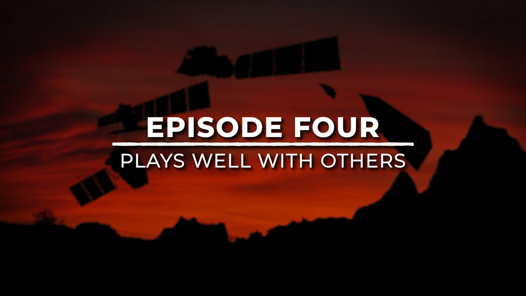
For the last 50 years, Landsat satellites have shown us Earth in unprecedented ways, but they haven’t operated alone. When it comes to studying our home planet, Landsat works in conjunction with other satellites from NASA and partner agencies like NOAA and the European Space Agency, as well as private companies. The old adage about teamwork holds true here: It’s made observations of Earth better!
After almost 50 years, the Landsat mission is still going strong. Every time a new satellite launches, it increases our knowledge of the planet we call home. Stay tuned for the launch of the newest Landsat satellite, coming Sept. 2021!
The Landsat Program is a series of Earth-observing satellite missions jointly managed by NASA and the U.S. Geological Survey (USGS). Landsat satellites have been consistently gathering data about our planet since 1972. They continue to improve and expand this unparalleled record of Earth's changing landscapes for the benefit of all.
Landsat 9: Continuing the Legacy series
The Landsat legacy stretches far and wide. Using visible and infrared light, Landsat helps track the health of crops, shows ocean pollution, and tracks coral reefs, icebergs and more. Thanks to sensor that can record wavelengths beyond what we can see with our eyes, Landsat can record vital information about Earth's surface.
Narrated by the actor Marc Evan Jackson, who played a Landsat scientist in the movie Kong: Skull Island (2017), this series of videos tells the story of Landsat 9. From the birth of the Landsat program to the present preparations for launching Landsat 9 and even a look to the future with Landsat NeXt.
The early Landsat satellites carried a sensor that could “see” in visible light — like humans — plus a little bit of near-infrared light. Newer Landsats, including the coming Landsat 9 mission, have two sensors: the Operational Land Imager (OLI) and the Thermal Infrared Sensor (TIRS). Together, they see visible, near-infrared, shortwave-infrared, and thermal infrared wavelengths. By comparing observations of different wavelengths, scientists can identify algal blooms, storm damage, fire burn scars, the health of plants, and more.
Landsat beams data down to ground stations on Earth, where it is recorded to four different drives as back up. The redundancy of data storage is really important. The Landsat legacy includes almost 50 years of observations of Earth from space — one of the longest space-based data records in existence.
The length of Landsat’s data record is crucial for studying change over time. From the growth of cities, to the extension of irrigation in the desert, to insect damage to forests, to plant regrowth after a volcanic eruption, Landsat lets us see our planet change. As of 2008, all of that data is free to the public. Anyone can download and use Landsat imagery — for everything from beautiful art to studying how our planet is changing.
For the last 50 years, Landsat satellites have shown us Earth in unprecedented ways, but they haven’t operated alone. When it comes to studying our home planet, Landsat works in conjunction with other satellites from NASA and partner agencies like NOAA and the European Space Agency, as well as private companies. The old adage about teamwork holds true here: It’s made observations of Earth better!
After almost 50 years, the Landsat mission is still going strong. Every time a new satellite launches, it increases our knowledge of the planet we call home. Stay tuned for the launch of the newest Landsat satellite, coming Sept. 2021!
The Landsat Program is a series of Earth-observing satellite missions jointly managed by NASA and the U.S. Geological Survey (USGS). Landsat satellites have been consistently gathering data about our planet since 1972. They continue to improve and expand this unparalleled record of Earth's changing landscapes for the benefit of all.
Source Material
Related
Credits
Lead Producers:
Ryan Fitzgibbons (USRA)
Matthew R. Radcliff (USRA)
Kate Ramsayer (Telophase)
Lead Animators:
Jacquelyn DeMink (USRA)
Adriana Manrique Gutierrez (USRA)
Lead Scientist:
Jeffrey Masek (NASA/GSFC)
Lead Writer:
LK Ward (USRA)
Lead Editor:
Ryan Fitzgibbons (USRA)
Interviewees:
Terry Arvidson (Lockheed Martin)
Jeffrey Masek (NASA/GSFC)
Matt Bromley (Desert Research Institute)
Melody Djam (Bay Engineering Innovations)
Philip Dabney (NASA/GSFC)
Michael O'Brien (KBRwyle)
Kristi Kline (USGS)
Danielle Rappaport (Conservation 4.0)
Narrator:
Marc Evan Jackson
Ryan Fitzgibbons (USRA)
Matthew R. Radcliff (USRA)
Kate Ramsayer (Telophase)
Lead Animators:
Jacquelyn DeMink (USRA)
Adriana Manrique Gutierrez (USRA)
Lead Scientist:
Jeffrey Masek (NASA/GSFC)
Lead Writer:
LK Ward (USRA)
Lead Editor:
Ryan Fitzgibbons (USRA)
Interviewees:
Terry Arvidson (Lockheed Martin)
Jeffrey Masek (NASA/GSFC)
Matt Bromley (Desert Research Institute)
Melody Djam (Bay Engineering Innovations)
Philip Dabney (NASA/GSFC)
Michael O'Brien (KBRwyle)
Kristi Kline (USGS)
Danielle Rappaport (Conservation 4.0)
Narrator:
Marc Evan Jackson
Please give credit for this item to:
NASA's Goddard Space Flight Center
Additional footage courtesy of Gordon Wilkinson/Texas Archive of the Moving Image, the US Geological Survey, and Pond5.
NASA's Goddard Space Flight Center
Additional footage courtesy of Gordon Wilkinson/Texas Archive of the Moving Image, the US Geological Survey, and Pond5.
Short URL to share this page:
https://svs.gsfc.nasa.gov/13712
Mission:
Landsat
This item is part of these series:
Narrated Movies
Landsat
Keywords:
DLESE >> Human geography
SVS >> Landsat
DLESE >> Physical geography
GCMD >> Earth Science >> Human Dimensions >> Land Use/Land Cover
GCMD >> Earth Science >> Land Surface >> Land Use/Land Cover
NASA Science >> Earth
SVS >> History
GCMD keywords can be found on the Internet with the following citation: Olsen, L.M., G. Major, K. Shein, J. Scialdone, S. Ritz, T. Stevens, M. Morahan, A. Aleman, R. Vogel, S. Leicester, H. Weir, M. Meaux, S. Grebas, C.Solomon, M. Holland, T. Northcutt, R. A. Restrepo, R. Bilodeau, 2013. NASA/Global Change Master Directory (GCMD) Earth Science Keywords. Version 8.0.0.0.0


