Earth
ID: 20322
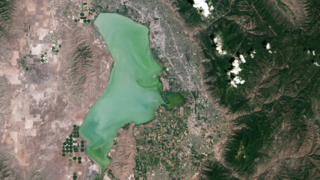
For nearly half a century, the Landsat mission has shaped our understanding of Earth. Since the launch of the first Landsat satellite in 1972, the mission has gathered and archived more than 8 million images of our home planet’s terrain, including crop fields and sprawling cities, forests and shrinking glaciers. These data-rich images are free and publicly available, leading to scientific discoveries and informed resource management.
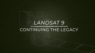
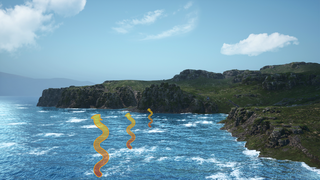
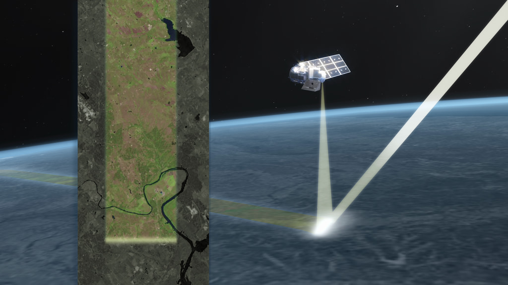
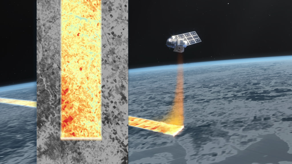
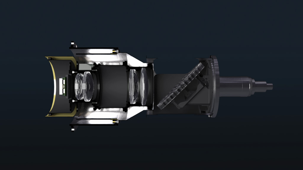
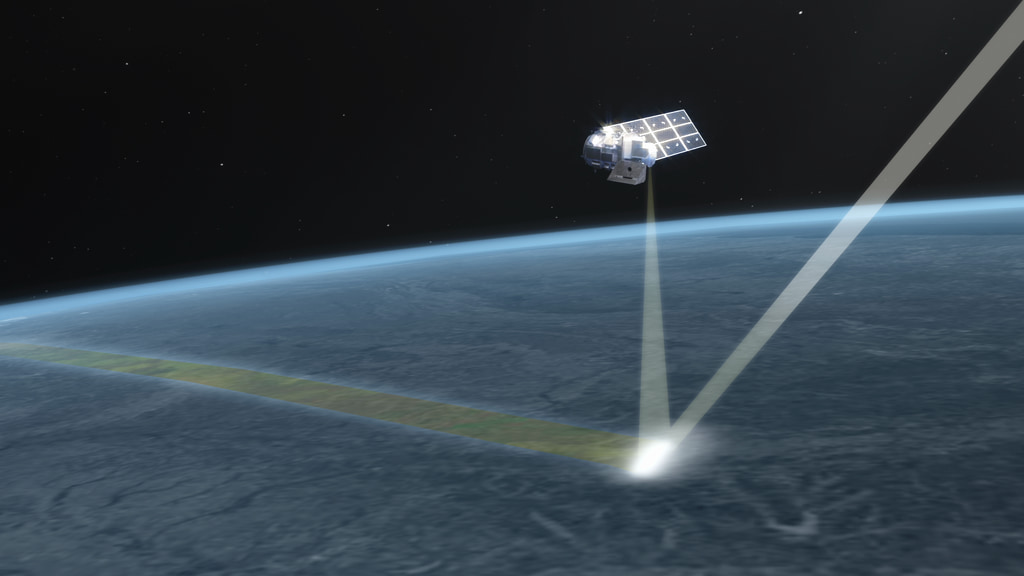
Landsat 9 will carry two instruments that largely replicate the instruments on Landsat 8: the Operational Land Imager 2 (OLI-2) and the Thermal Infrared Sensor 2 (TIRS-2). OLI-2 and TIRS-2 are optical sensors that detect 11 wavelengths of visible, near infrared, shortwave infrared, and thermal infrared light as it is reflected or emitted from the planet’s surface. Data from these instruments are processed and stored at the USGS Earth Resources Observation and Science (EROS) Center in Sioux Falls, South Dakota—where decades worth of data from all of the Landsat satellites are stored and made available for free to the public.
The Landsat mission, a partnership between NASA and the U.S. Geological Survey (USGS), has provided the longest continuous record of Earth’s land surfaces from space. The consistency of Landsat’s land-cover data from sensor to sensor and year to year makes it possible to trace land-cover changes from 1972 to the present, and it will continue into the future with Landsat 9. With better technology than ever before, Landsat 9 will enhance and extend the data record to the 50-year mark and beyond.
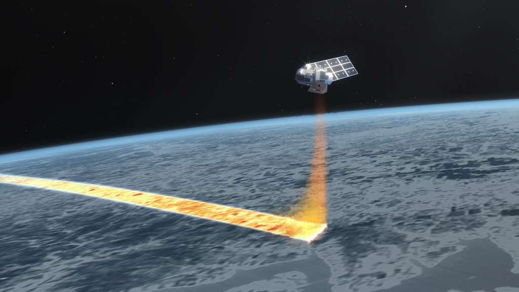
Landsat Lightpath Animations
Landsat 9 will carry two instruments that largely replicate the instruments on Landsat 8: the Operational Land Imager 2 (OLI-2) and the Thermal Infrared Sensor 2 (TIRS-2). OLI-2 and TIRS-2 are optical sensors that detect 11 wavelengths of visible, near infrared, shortwave infrared, and thermal infrared light as it is reflected or emitted from the planet’s surface. Data from these instruments are processed and stored at the USGS Earth Resources Observation and Science (EROS) Center in Sioux Falls, South Dakota—where decades worth of data from all of the Landsat satellites are stored and made available for free to the public.
The Landsat mission, a partnership between NASA and the U.S. Geological Survey (USGS), has provided the longest continuous record of Earth’s land surfaces from space. The consistency of Landsat’s land-cover data from sensor to sensor and year to year makes it possible to trace land-cover changes from 1972 to the present, and it will continue into the future with Landsat 9. With better technology than ever before, Landsat 9 will enhance and extend the data record to the 50-year mark and beyond.
Used Elsewhere In
Related

Animation Credits
Jacquelyn DeMink (USRA): Lead Animator
Aaron E. Lepsch (ADNET Systems, Inc.): Technical Support
Matthew R. Radcliff (USRA): Lead Producer
Adriana Manrique Gutierrez (USRA): Lead Animator
Aaron E. Lepsch (ADNET Systems, Inc.): Technical Support
Matthew R. Radcliff (USRA): Lead Producer
Adriana Manrique Gutierrez (USRA): Lead Animator
Please give credit for this item to:
NASA's Goddard Space Flight Center Conceptual Image Lab
NASA's Goddard Space Flight Center Conceptual Image Lab
Short URL to share this page:
https://svs.gsfc.nasa.gov/20322
Keywords:
SVS >> Earth
SVS >> Landsat
NASA Science >> Earth
SVS >> TIRS
https://svs.gsfc.nasa.gov/20322
Keywords:
SVS >> Earth
SVS >> Landsat
NASA Science >> Earth
SVS >> TIRS


