Earth
ID: 13917
In anticipation of the launch of Landsat 9, we count down 9 things about the Landsat mission, the science, the technology and the people who continue its legacy. Each item on the list had a short video that was released in the nine days leading up to the launch. They are compiled into one video that was released on the NASA Goddard YouTube channel.
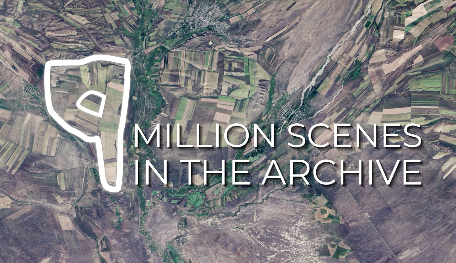
#9 - There are 9 million images in the Landsat archive, managed by USGS. They’re all available to download for use by scientists, data managers, and anyone else who’s interested. And all these data are available for free! You can download here: https://earthexplorer.usgs.gov.
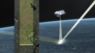
#8 - Working together, Landsat 9 and Landsat 8 will completely image Earth every 8 days! This helps us track changes on the planet’s surface as they happen in near-real-time.
Discover more at https://nasa.gov/landsat9!
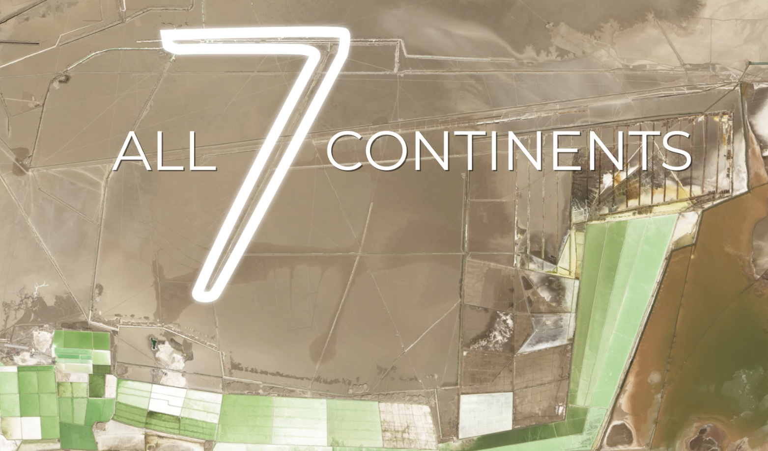
#7 - Landsat sees all 7 continents! From Antarctic ice to growing cities to changing forests, Landsat measures land — and coastal regions — all around the globe.
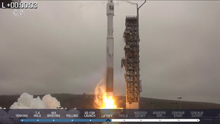
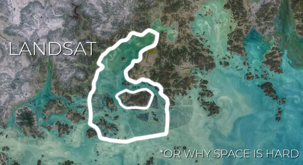
#6 - Working in space is really hard. Landsat 6 never made it to orbit, an important reminder that failures can be opportunities to learn and grow. Shortly after the unsuccessful launch, engineers got to work on Landsat 7, which is still collecting data today — 22 years later.
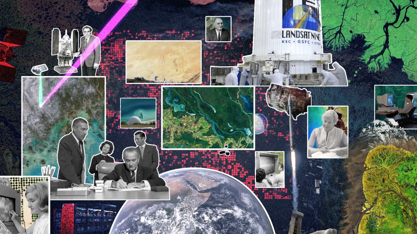
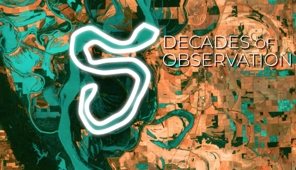
#5 - We have 5 decades of Landsat observations, the longest continuous record of Earth’s land surfaces in existence! While building the original Landsat in the 1970s, it would have been hard to imagine that this mission would still be providing crucial data about today.
#4 - For each color band collected, Landsat 9 will see 4 times the shades of light as the previous Landsat mission! With more than 16,000 different intensities detected, Landsat 9 will be able to see crucial details on our planet’s surface.
#3 - Our eyes detect 3 colors of light: red, green, and blue — and Landsat does too! But Landsat 9 also detects wavelengths to measure things our eyes can’t, like crop stress, coral reef health, fires, and more.
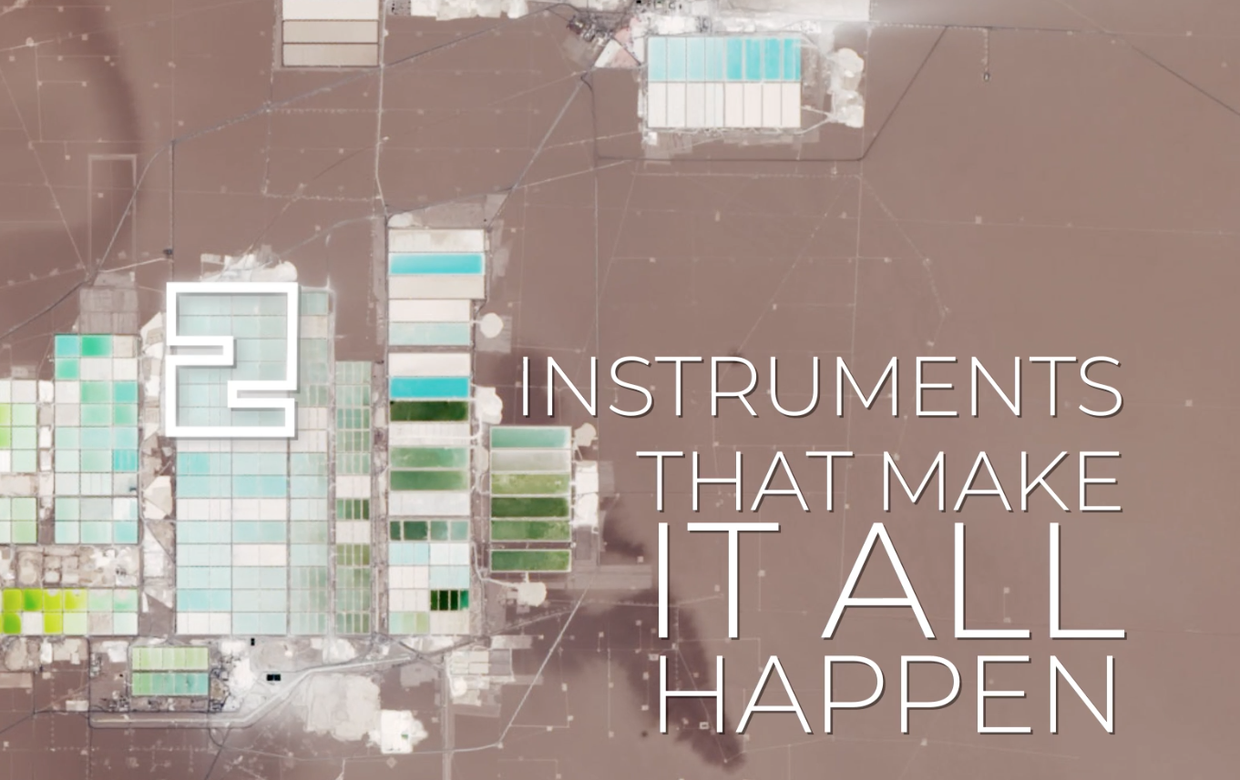
#2 - There are 2 instruments on Landsat 9! The Operational Land Imager 2 collects light, and works kind of like our eyes — or cameras — to make data-rich images. The Thermal Infrared Sensor 2 measures temperature, helping monitor plant health, fires, and more.
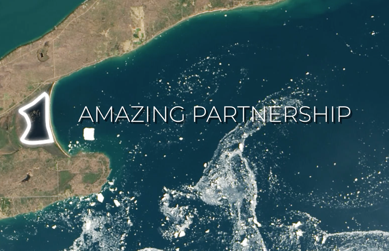
#1 - The Landsat program is the result of 1 amazing partnership! For more than 50 years, we’ve worked with the U.S. Geological Survey to design, build, launch, and manage #Landsat satellites. We ❤️ you, @USGS! Now let’s launch this satellite!
9 Things About Landsat 9
Discover more at https://nasa.gov/landsat9!
Related

Credits
Adriana Manrique Gutierrez (KBR Wyle Services, LLC):
Animator
Ryan Fitzgibbons (KBR Wyle Services, LLC):
Lead Animator
Lead Editor
Matthew Radcliff (KBRwyle):
Lead Producer
Lead Writer
LK Ward (KBR Wyle Services, LLC):
Lead Producer
Lead Writer
Kate Ramsayer (Telophase):
Lead Writer
Animator
Ryan Fitzgibbons (KBR Wyle Services, LLC):
Lead Animator
Lead Editor
Matthew Radcliff (KBRwyle):
Lead Producer
Lead Writer
LK Ward (KBR Wyle Services, LLC):
Lead Producer
Lead Writer
Kate Ramsayer (Telophase):
Lead Writer
Please give credit for this item to:
NASA's Goddard Space Flight Center
NASA's Goddard Space Flight Center
Short URL to share this page:
https://svs.gsfc.nasa.gov/13917
Mission:
Landsat 9
Keyword:
NASA Science >> Earth
https://svs.gsfc.nasa.gov/13917
Mission:
Landsat 9
Keyword:
NASA Science >> Earth


