Earth
ID: 13259
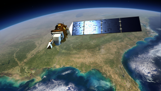
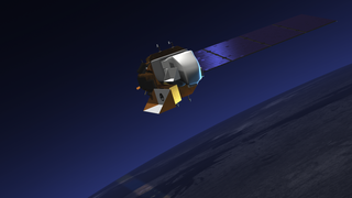
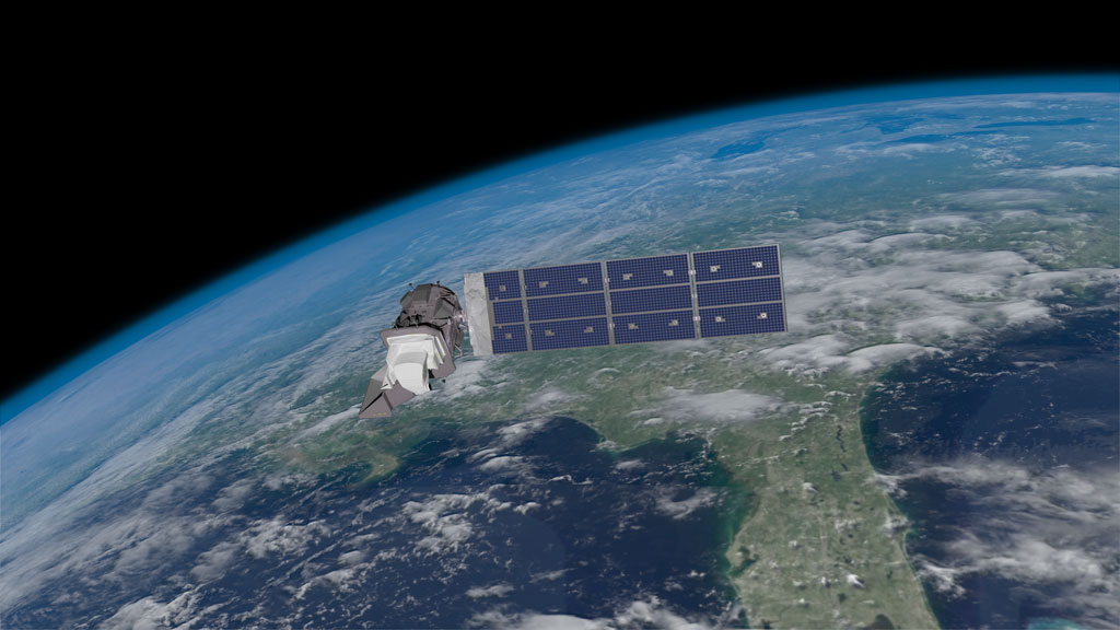
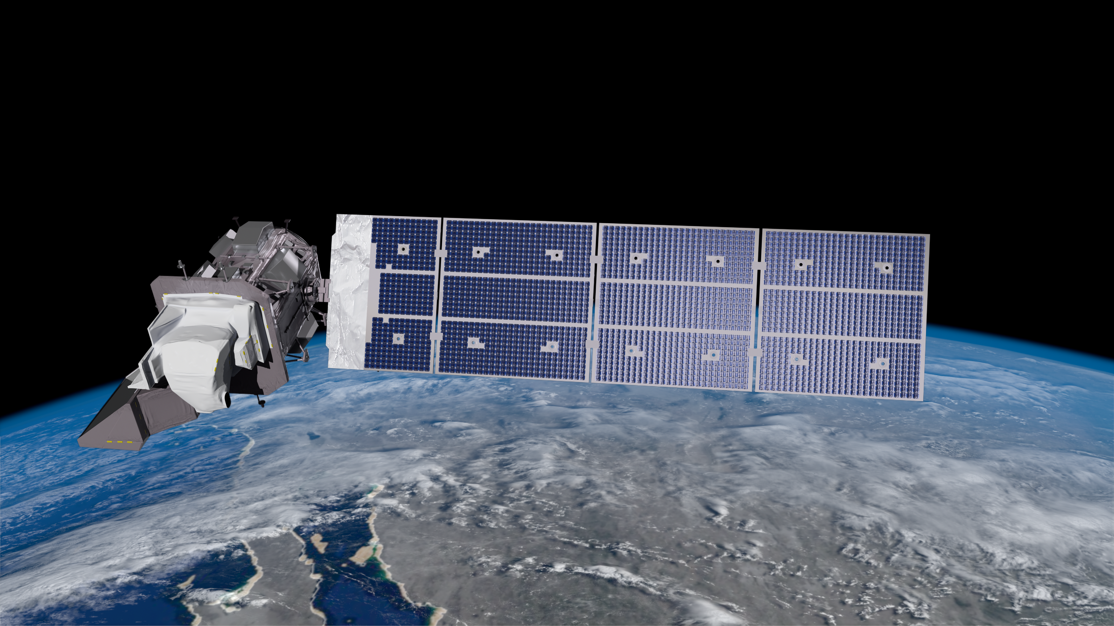
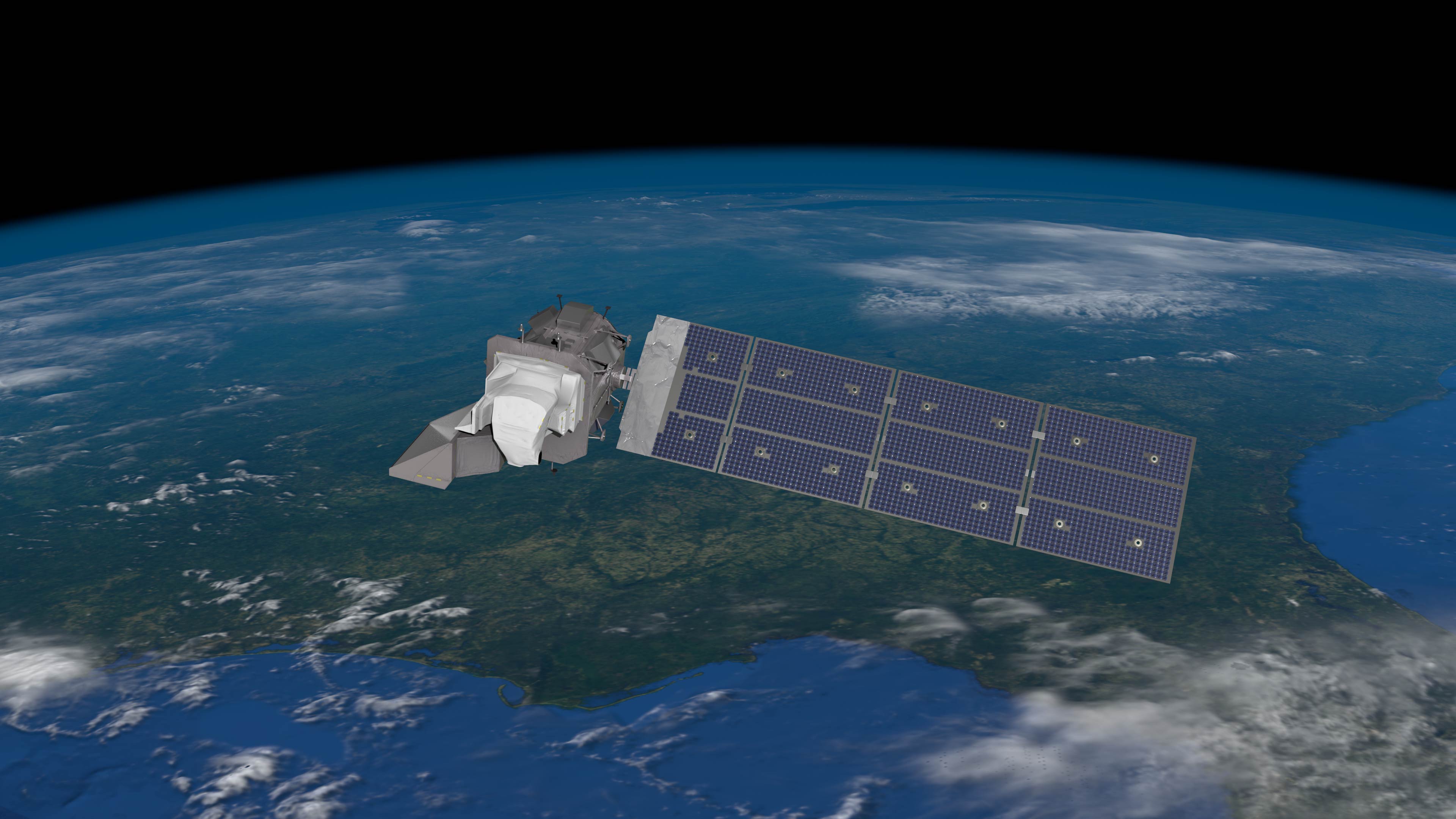
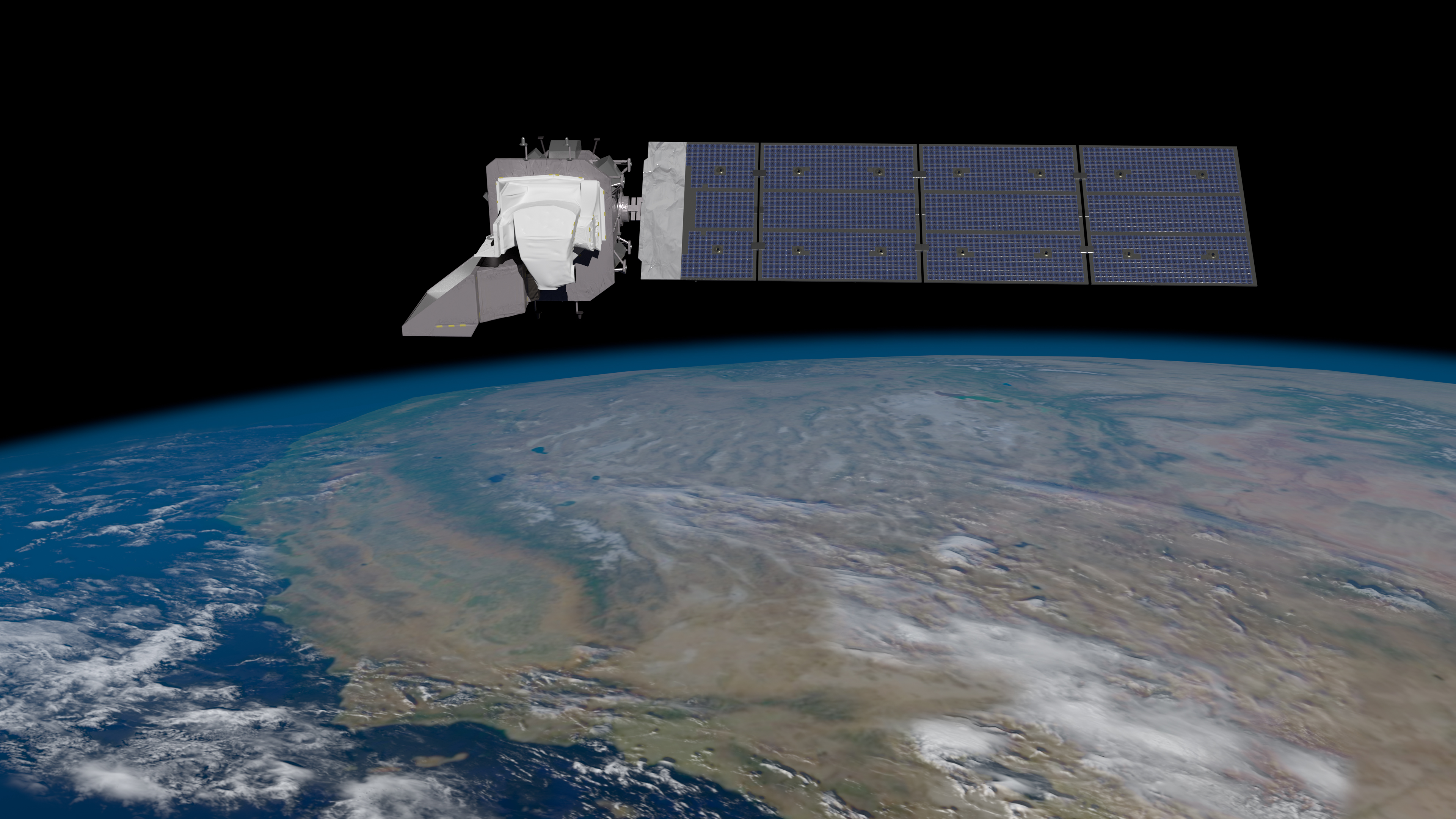
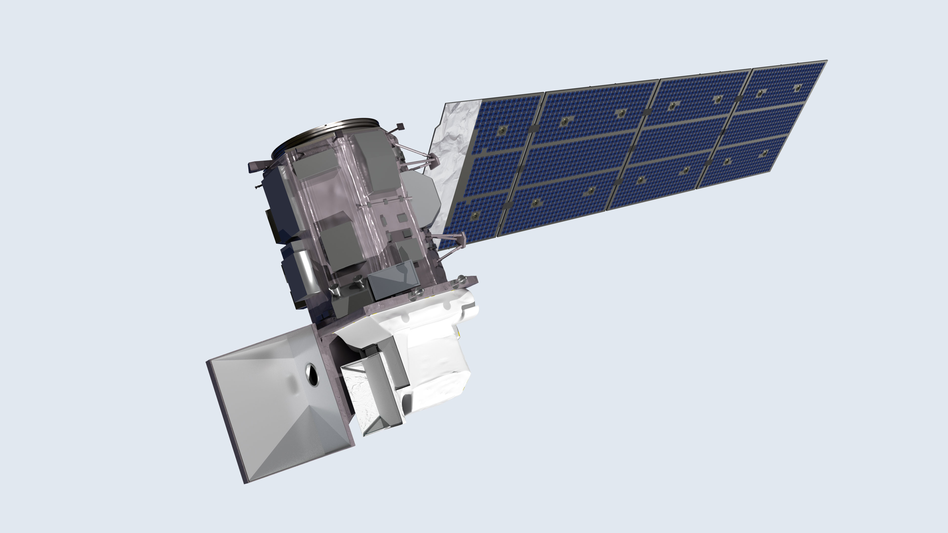
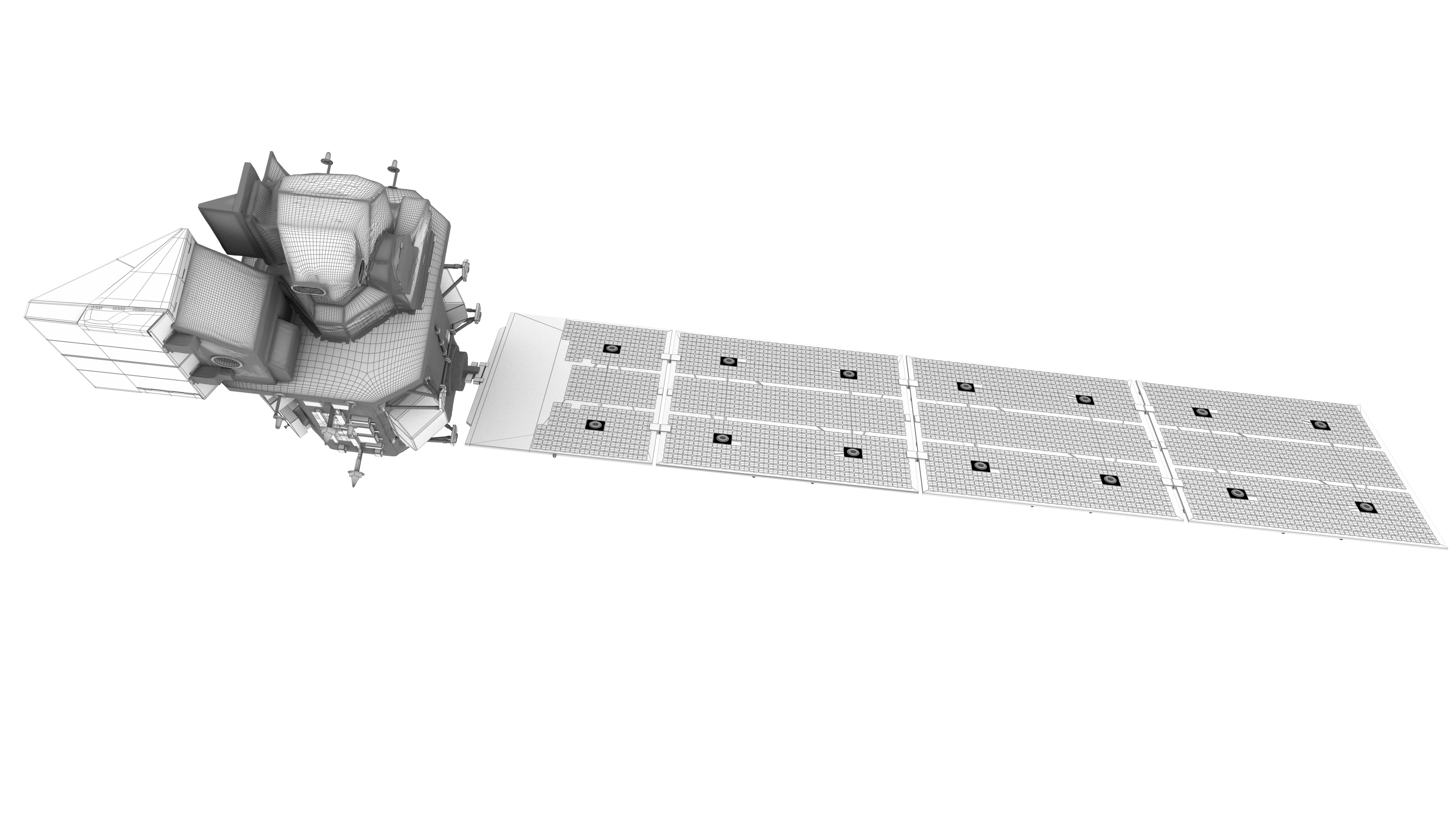
Landsat 9 is a collaboration between NASA and the U.S. Geological Survey, and will continue the Landsat program’s critical role in monitoring, understanding and managing the land resources needed to sustain human life. The mission will provide moderate-resolution (15 meter to 100 meter, depending on spectral frequency) measurements of the Earth's terrestrial and polar regions in visible, near-infrared, short wave infrared, and thermal infrared wavelengths. There are two instruments on the spacecraft, the Thermal InfraRed Sensor 2 (TIRS-2) and the Operational Land Imager 2 (OLI-2).
Landsat 9 will provide continuity with the nearly 50-year long Landsat land imaging data set. In addition to widespread routine use for land use planning and monitoring on regional to local scales, support of disaster response and evaluations, and water use monitoring, Landsat measurements directly serve NASA research in the focus areas of climate, carbon cycle, ecosystems, water cycle, biogeochemistry, and Earth surface/interior.
The Landsat program is the only U.S. satellite system designed and operated to repeatedly observe the global land surface at a moderate scale that shows both natural and human-induced change.
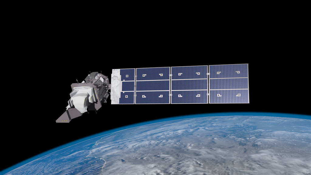


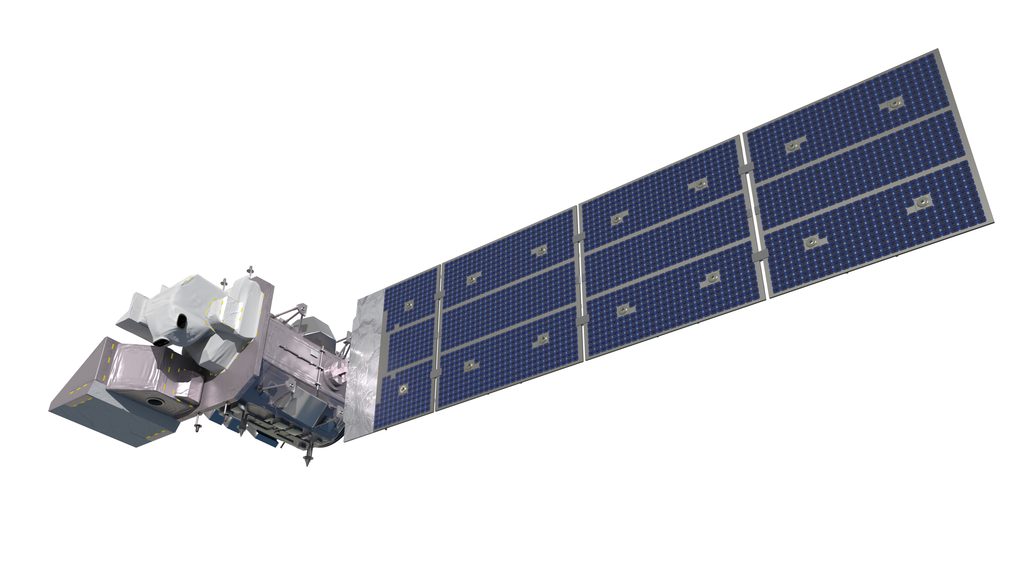


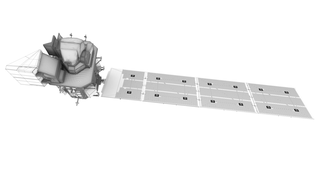

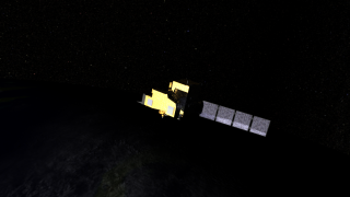
Landsat 9 Spacecraft Animations and Stills
Landsat 9 will provide continuity with the nearly 50-year long Landsat land imaging data set. In addition to widespread routine use for land use planning and monitoring on regional to local scales, support of disaster response and evaluations, and water use monitoring, Landsat measurements directly serve NASA research in the focus areas of climate, carbon cycle, ecosystems, water cycle, biogeochemistry, and Earth surface/interior.
The Landsat program is the only U.S. satellite system designed and operated to repeatedly observe the global land surface at a moderate scale that shows both natural and human-induced change.
Used Elsewhere In

Older Versions
Related
Credits
Matthew R. Radcliff (USRA): Lead Producer
Aaron E. Lepsch (ADNET Systems, Inc.): Technical Support
Vuk Nikolic (Freelance): Animator
Walt Feimer (KBR Wyle Services, LLC): Animator
Adriana Manrique Gutierrez (USRA): Animator
Ryan Fitzgibbons (KBR Wyle Services, LLC): Animator
Aaron E. Lepsch (ADNET Systems, Inc.): Technical Support
Vuk Nikolic (Freelance): Animator
Walt Feimer (KBR Wyle Services, LLC): Animator
Adriana Manrique Gutierrez (USRA): Animator
Ryan Fitzgibbons (KBR Wyle Services, LLC): Animator
Please give credit for this item to:
NASA's Goddard Space Flight Center/Conceptual Image Lab
The Landsat Program is a series of Earth-observing satellite missions jointly managed by NASA and the U.S. Geological Survey.
NASA's Goddard Space Flight Center/Conceptual Image Lab
The Landsat Program is a series of Earth-observing satellite missions jointly managed by NASA and the U.S. Geological Survey.
Short URL to share this page:
https://svs.gsfc.nasa.gov/13259
Mission:
Landsat
Keywords:
SVS >> Beauty Shot
SVS >> HDTV
SVS >> Landsat
SVS >> Spacecraft
NASA Science >> Earth
SVS >> TIRS
https://svs.gsfc.nasa.gov/13259
Mission:
Landsat
Keywords:
SVS >> Beauty Shot
SVS >> HDTV
SVS >> Landsat
SVS >> Spacecraft
NASA Science >> Earth
SVS >> TIRS


