Earth
ID: 2747
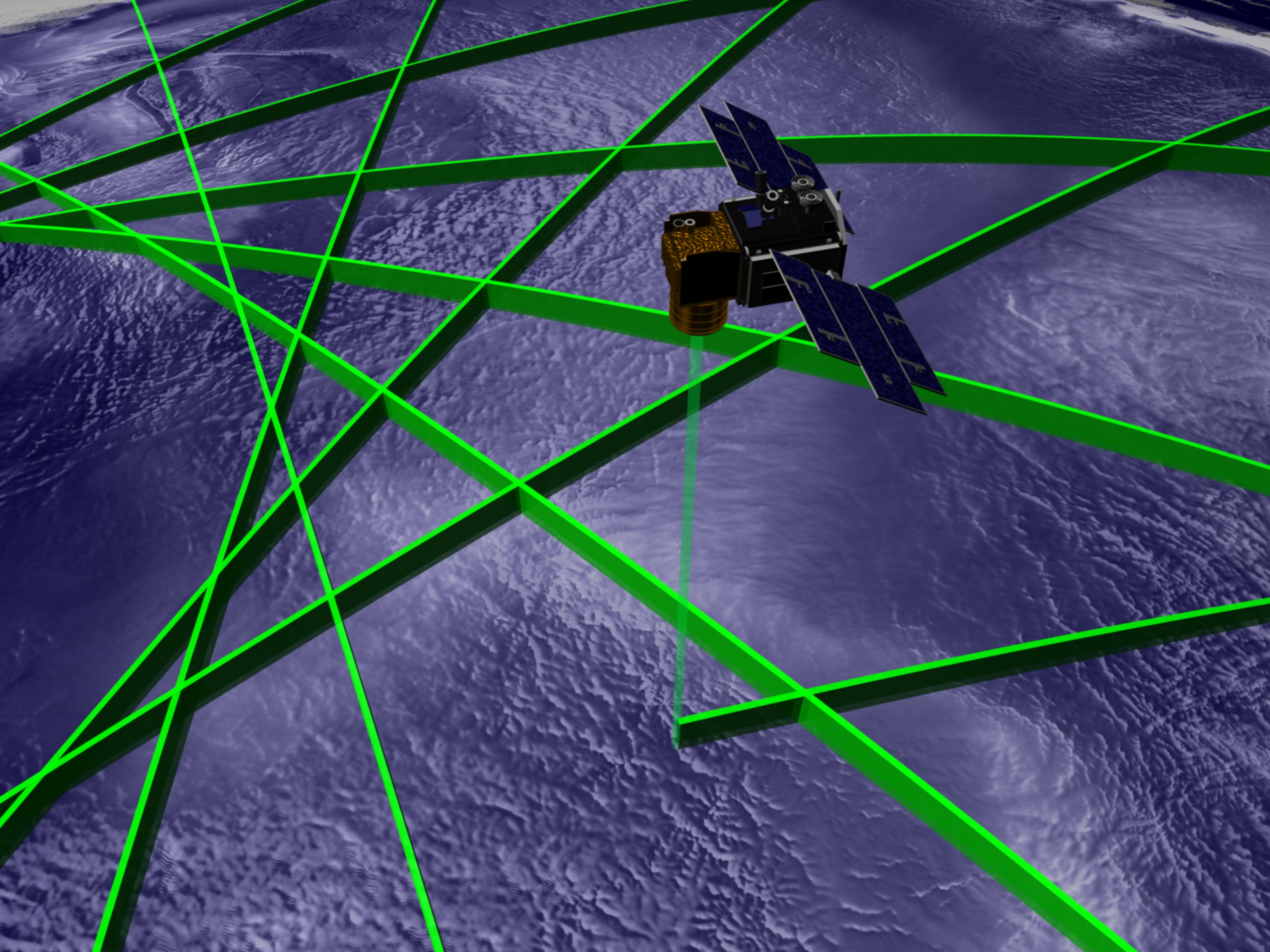
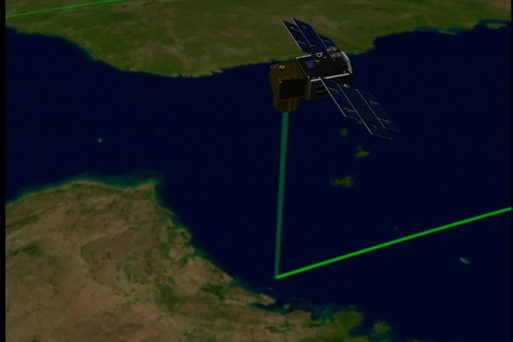
In this visualization we ride along with the ICESat spacecraft as its laser measures detailed changes in surface topography. This was produced in support of the ICESat first light release.
ICESat First Light Release: Following ICESat
Used Elsewhere In
Visualization Credits
Greg Shirah (NASA/GSFC): Lead Animator
Alex Kekesi (Global Science and Technology, Inc.): Animator
Christopher Shuman (NASA/GSFC): Scientist
Jay Zwally (NASA/GSFC): Scientist
Alex Kekesi (Global Science and Technology, Inc.): Animator
Christopher Shuman (NASA/GSFC): Scientist
Jay Zwally (NASA/GSFC): Scientist
Please give credit for this item to:
NASA/Goddard Space Flight Center Scientific Visualization Studio, Canadian Space Agency, RADARSAT International Inc. The Blue Marble Next Generation data is courtesy of Reto Stockli (NASA/GSFC) and NASA's Earth Observatory.
NASA/Goddard Space Flight Center Scientific Visualization Studio, Canadian Space Agency, RADARSAT International Inc. The Blue Marble Next Generation data is courtesy of Reto Stockli (NASA/GSFC) and NASA's Earth Observatory.
Short URL to share this page:
https://svs.gsfc.nasa.gov/2747
Missions:
Ice, Cloud, and land Elevation Satellite (ICESat)
Terra
Data Used:
Note: While we identify the data sets used in these visualizations, we do not store any further details nor the data sets themselves on our site.
Dates of Data Used:
Simulated Data
Keywords:
DLESE >> Technology
NASA Science >> Earth
https://svs.gsfc.nasa.gov/2747
Missions:
Ice, Cloud, and land Elevation Satellite (ICESat)
Terra
Data Used:
RADARSAT-1/SAR
Credit:
Additional credit goes to Canadian Space Agency, RADARSAT International Inc.
Additional credit goes to Canadian Space Agency, RADARSAT International Inc.
ICESat/GLAS/L2 Global Cloud Heights for Multi-layer Clouds (GLA09)
Terra and Aqua/MODIS/Blue Marble: Next Generation also referred to as: BMNG
1/1/2004 - 12/31/2004
Credit:
The Blue Marble data is courtesy of Reto Stockli (NASA/GSFC).
The Blue Marble data is courtesy of Reto Stockli (NASA/GSFC).
Dates of Data Used:
Simulated Data
Keywords:
DLESE >> Technology
NASA Science >> Earth


