Earth
ID: 13736
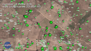
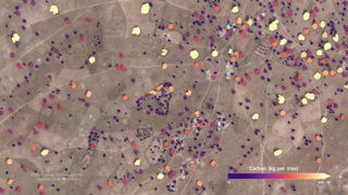
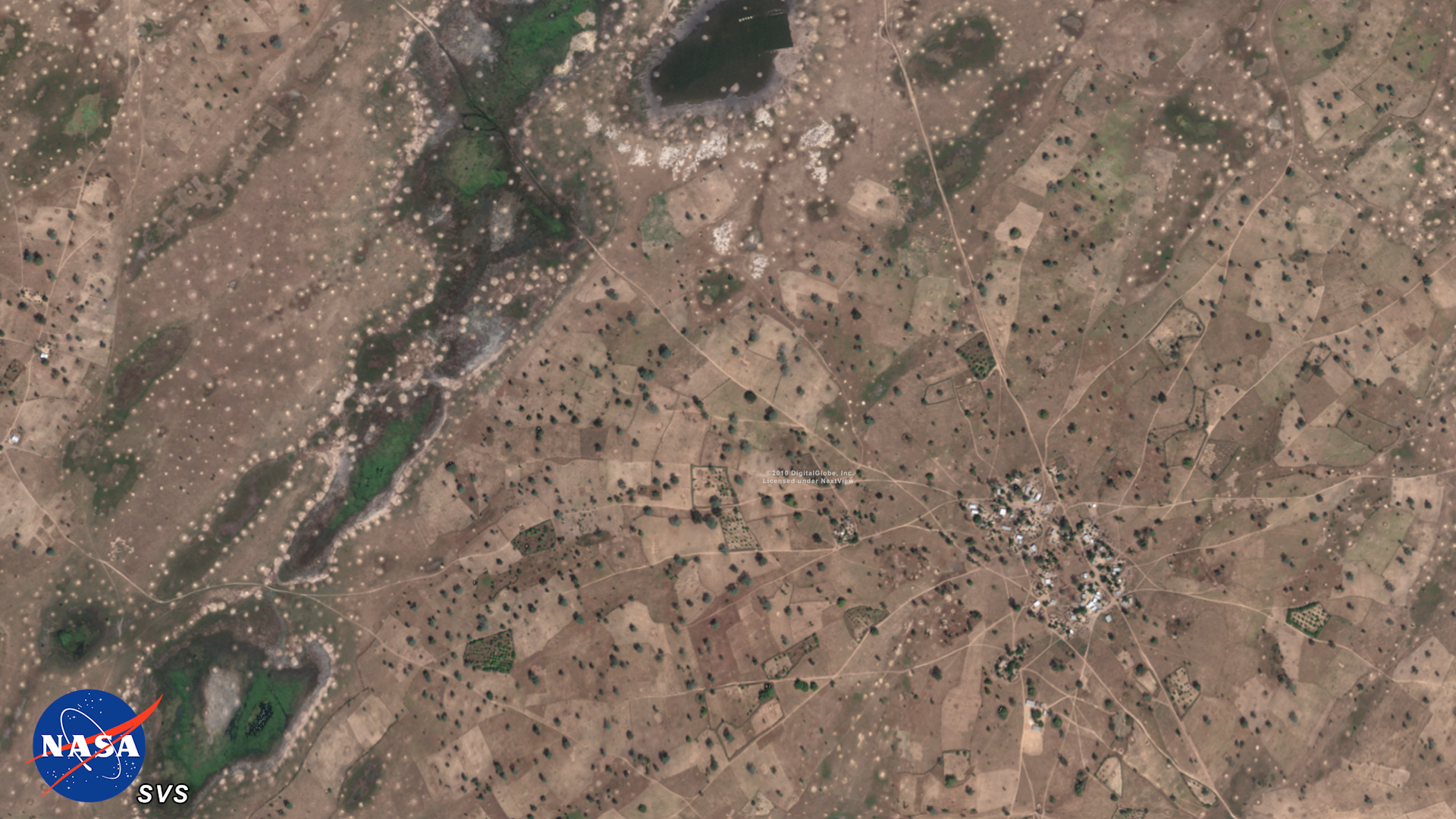
Scientists from NASA’s Goddard Space Flight Center in Greenbelt, Maryland and international collaborators demonstrated a new method for mapping the location and size of trees growing outside of forests, discovering surprisingly high numbers of trees in semi-arid regions and laying the groundwork for more accurate global measurement of carbon storage on land.
NASA Supercomputing Study Breaks Ground for Tree Mapping, Carbon Research
Source Material
Related
Credits
LK Ward (USRA): Lead Producer
Greg Shirah (NASA/GSFC): Lead Visualizer
Jessica Merzdorf (Telophase): Lead Writer
Compton Tucker (NASA/GSFC): Lead Scientist
Greg Shirah (NASA/GSFC): Lead Visualizer
Jessica Merzdorf (Telophase): Lead Writer
Compton Tucker (NASA/GSFC): Lead Scientist
Please give credit for this item to:
NASA's Goddard Space Flight Center
NASA's Goddard Space Flight Center
Short URL to share this page:
https://svs.gsfc.nasa.gov/13736
This item is part of this series:
Narrated Movies
Keywords:
SVS >> Carbon
SVS >> Sahara
GCMD >> Location >> Africa
GCMD >> Location >> Sahel
NASA Science >> Earth
SVS >> Mapping
GCMD keywords can be found on the Internet with the following citation: Olsen, L.M., G. Major, K. Shein, J. Scialdone, S. Ritz, T. Stevens, M. Morahan, A. Aleman, R. Vogel, S. Leicester, H. Weir, M. Meaux, S. Grebas, C.Solomon, M. Holland, T. Northcutt, R. A. Restrepo, R. Bilodeau, 2013. NASA/Global Change Master Directory (GCMD) Earth Science Keywords. Version 8.0.0.0.0


