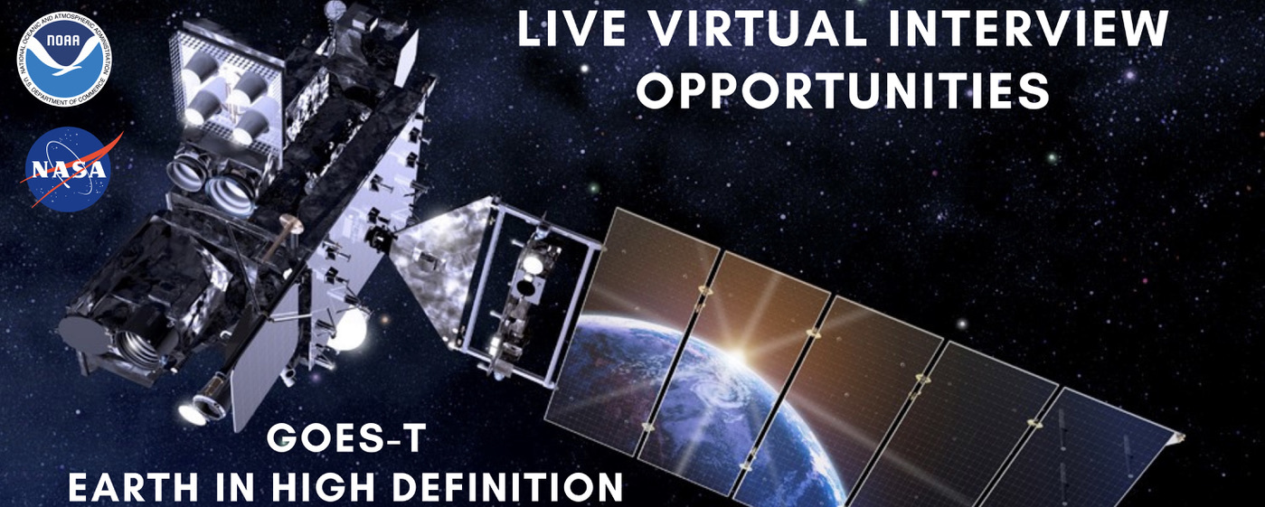
GOES-T Overview and Beauty Shots
GOES-T Overview and Upcoming Launch
Music: "Spacey Wave," by JC Lemay [SACEM]; Koka; Universal Production Music
Additional footage provided by Lockheed Martin
NOAA’s GOES-T is the third satellite in the Geostationary Operational Environmental Satellites (GOES) – R Series, the Western Hemisphere’s most sophisticated weather observing and environmental monitoring system.
The GOES-R Series provides advanced imagery and atmospheric measurements, real-time mapping of lightning activity, and space weather monitoring. After GOES-T launches, it will be renamed GOES-18 once it reaches geostationary orbit. Following a successful on-orbit checkout of its instruments and systems, NOAA plans to put GOES-T immediately into operational service, replacing GOES-17 as GOES West. GOES-18 will work in tandem with GOES-16, NOAA’s operational GOES East satellite. Together, GOES-16 and GOES-18 will watch over more than half the globe – from the west coast of Africa to New Zealand. GOES-17 will become an on-orbit spare.
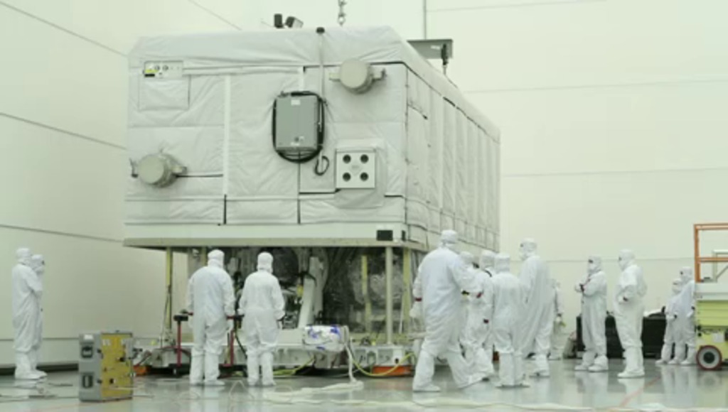
GOES-T Beauty Shot
Beauty shot of GOES-T
Beauty shot of GOES-T
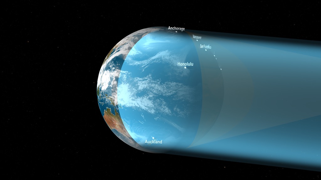
This animation depicts the areas of the Earth viewed by GOES-East and GOES-West from their vantage point 22,236 miles above the equator.
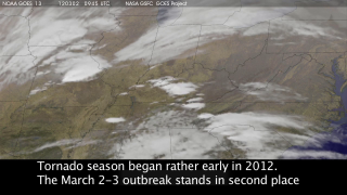
GOES Wildire Detection and Monitoring
Music:
“Enduring Faith,” by Frederik Wiedmann [BMI]; Icon Trailer Music; Universal Production Music
Additional GOES-T Footage Courtesy of:
Lockheed Martin
Additional Wildfire Footage:
CALFIRE_Official/flickr under CC BY-NC 2.0
National Interagency Fire Center
CALFIRE_Official/Alaska Fire Service/flickr
For More Information
Credits
Please give credit for this item to:
NASA's Goddard Space Flight Center and NOAA/NESDIS. Additional footage from Lockheed Martin, CALFIRE_Official/flickr, CALFIRE_Official/Alaska Fire Service, and the National Interagency Fire Center.
-
Producer
- Elizabeth C. Wilk (KBR Wyle Services, LLC)
-
Animators
- Adriana Manrique Gutierrez (KBR Wyle Services, LLC)
- Walt Feimer (KBR Wyle Services, LLC)
-
Project
- Michelle Smith (NOAA)
-
Narrator
- John Bateman (NOAA)
-
Project support
- John Leslie (NOAA)
Release date
This page was originally published on Thursday, February 3, 2022.
This page was last updated on Wednesday, May 3, 2023 at 1:37 PM EDT.
Related
- ID: 14084
- ID: 14108
![Music: “Enduring Faith,” by Frederik Wiedmann [BMI]; Icon Trailer Music; Universal Production MusicAdditional GOES-T Footage Courtesy of:Lockheed MartinAdditional Wildfire Footage:CALFIRE_Official/flickr under CC BY-NC 2.0National Interagency Fire CenterCALFIRE_Official/Alaska Fire Service/flickr](/vis/a010000/a014100/a014108/14108_WildfireDetectionandMonitoring_FINAL.03921_print.jpg) Produced Video
Produced Video - ID: 4618
- ID: 12371
- ID: 10936
 Produced Video