GOES Satellites Wildfire Detection and Monitoring
Music:
“Enduring Faith,” by Frederik Wiedmann [BMI]; Icon Trailer Music; Universal Production Music
Additional GOES-T Footage Courtesy of:
Lockheed Martin
Additional Wildfire Footage:
CALFIRE_Official/flickr under CC BY-NC 2.0
National Interagency Fire Center
CALFIRE_Official/Alaska Fire Service/flickr
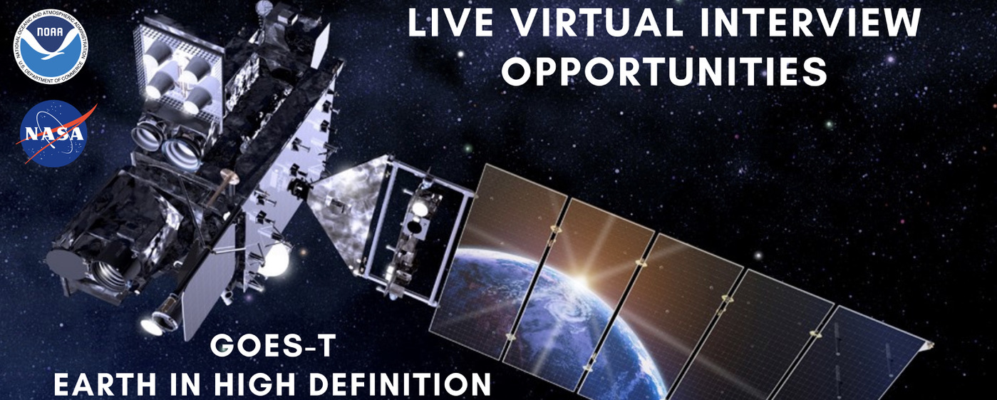
GOES-18 will provide critical data for identifying and tracking environmental hazards of particular concern to the western U.S. GOES-18 will locate wildfire hot spots, detect changes in fire behavior, predict the motion of fires, estimate a fire’s intensity, and monitor smoke output and air quality effects from smoke. GOES-18 can identify the lightning strikes most likely to ignite fires and characterize pyrocumulonimbus clouds that threaten the safety of firefighters.
For More Information
Credits
Please give credit for this item to:
NASA's Goddard Space Flight Center, NOAA's NESDIS. Additional footage from Lockheed Martin, CALFIRE_Official/flickr, National Interacgency Fire Center, and CALFIRE_Official/Alaska Fire Service/flickr
-
Producer
- Elizabeth C. Wilk (KBR Wyle Services, LLC)
-
Project support
- Michelle Smith (NOAA)
-
Narrator
- John Bateman (NOAA)
-
Public affairs officers
- John Bateman (NOAA)
- John Leslie (NOAA)
-
Interviewees
- Dan Lindsey (NOAA)
- Heath Hockenberry (NOAA)
- Sean Triplett (USFS)
Release date
This page was originally published on Monday, February 21, 2022.
This page was last updated on Wednesday, May 3, 2023 at 11:44 AM EDT.

![GOES-T Overview and Upcoming Launch Music: "Spacey Wave," by JC Lemay [SACEM]; Koka; Universal Production MusicAdditional footage provided by Lockheed Martin](/vis/a010000/a014000/a014073/GOEST_Overview_FINAL.01901_print.jpg)