| Previous Tape | Next Tape |
Goddard TV Video Tape: G2013-020 -- Chesapeake Flyover |
||
Movie |
Title |
|
|
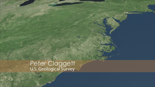
Monitoring Changes in the Chesapeake Bay Watershed | |
| Previous Tape | Next Tape |
Goddard TV Video Tape: G2013-020 -- Chesapeake Flyover |
||
Movie |
Title |
|
|
|
Monitoring Changes in the Chesapeake Bay Watershed | |