Earth
ID: 98
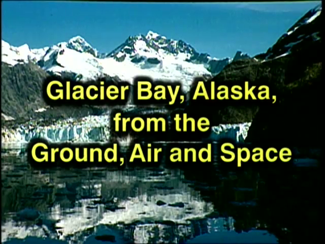
This video contains a mix of live action video, stills, and computer animations of the Glacier Bay National Park in Glacier Bay, Alaska.
Glacier Bay, Alaska, from the Ground, Air and Space
Satellite mapping and imagery are used to show changes in the Glacier Bay area over a period of several years. Specific image processing techniques are discussed in relation to determining the evolution of glacier terminus points and in obtaining elevation data and how it is used to create fly-by visualizations of the area.
For More Information
Visualization Credits
Cindy Starr (Global Science and Technology, Inc.): Lead Visualizer
Jim Strong (NASA/GSFC): Animator
Pamela ONeil (NASA): Animator
Andy Acuna (Hughes STX): Animator
Dorothy Hall (NASA/GSFC): Scientist
Janet Chien (NASA/GSFC): Scientist
Carl Benson (University of Alaska): Scientist
Suzanne Brown (unaffiliated): Scientist
Brian Suderman (Glacier Bay National Park and Preserve): Scientist
Please give credit for this item to:
NASA/Goddard Space Flight Center Scientific Visualization Studio
NASA/Goddard Space Flight Center Scientific Visualization Studio
Short URL to share this page:
https://svs.gsfc.nasa.gov/98
Mission:
Landsat
Data Used:
Note: While we identify the data sets used in these visualizations, we do not store any further details nor the data sets themselves on our site.
This item is part of this series:
Narrated Movies
Keywords:
DLESE >> Cryology
DLESE >> History and philosophy of science
DLESE >> Physical geography
SVS >> Glaciers
NASA Science >> Earth
https://svs.gsfc.nasa.gov/98
Mission:
Landsat
Data Used:
Landsat
1973, 1980, 1983, 1986DTED Level 1 (3 arc second)
Model - USGSThis item is part of this series:
Narrated Movies
Keywords:
DLESE >> Cryology
DLESE >> History and philosophy of science
DLESE >> Physical geography
SVS >> Glaciers
NASA Science >> Earth


