Earth
ID: 13049
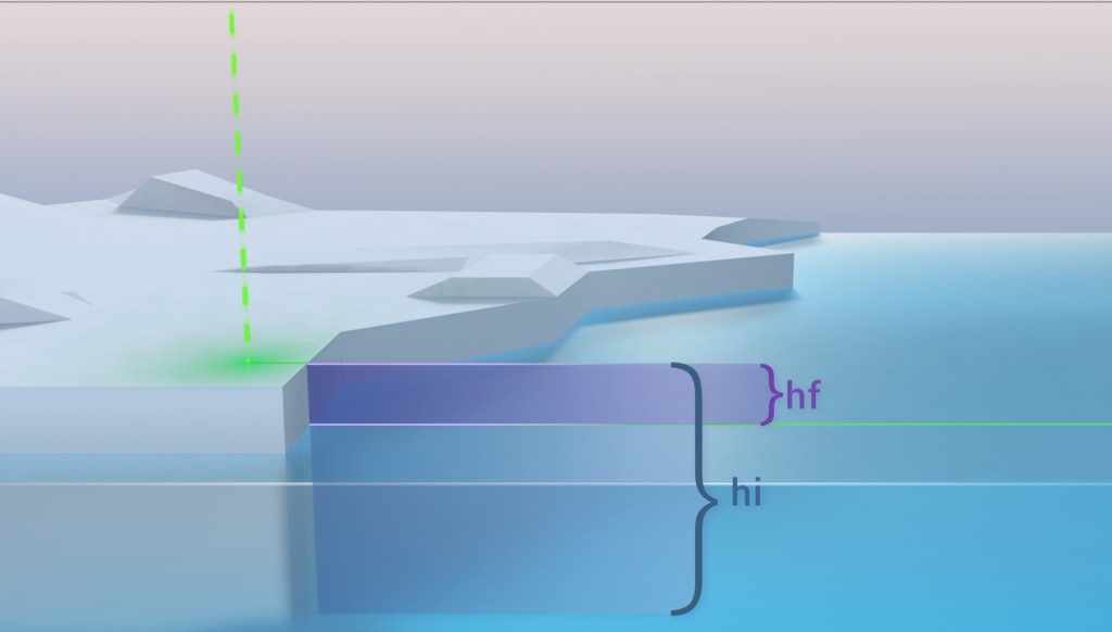
ICESat-2 will measure heights or elevations. In order to derive sea ice thickness from those measurements, it will compare the height of the ice with the height of the adjacent open water. The difference is height is the portion of the ice that is above the sea level, called freeboard. Because roughly 1/10 of the ice floe is above water we can calculate its thickness. Very often the only open water nearby is from cracks in the ice (leads) that open and close quickly as the ice drifts about in the polar oceans pushed by ocean currents and winds.
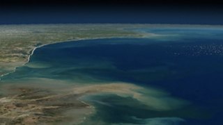
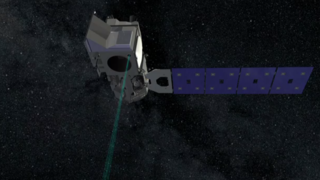
ICESat-2 Measures Sea Ice Thickness
Used Elsewhere In

Related
Credits
Ryan Fitzgibbons (USRA): Lead Producer
Adriana Manrique Gutierrez (USRA): Lead Animator
Thorsten Markus (NASA/GSFC): Lead Scientist
Thomas A. Neumann Ph.D. (NASA/GSFC): Lead Scientist
Nathan T. Kurtz (NASA/GSFC): Lead Scientist
Adriana Manrique Gutierrez (USRA): Lead Animator
Thorsten Markus (NASA/GSFC): Lead Scientist
Thomas A. Neumann Ph.D. (NASA/GSFC): Lead Scientist
Nathan T. Kurtz (NASA/GSFC): Lead Scientist
Please give credit for this item to:
NASA's Goddard Space Flight Center
NASA's Goddard Space Flight Center
Short URL to share this page:
https://svs.gsfc.nasa.gov/13049
Keywords:
SVS >> HDTV
SVS >> Laser Altimeter
SVS >> Sea Ice
GCMD >> Earth Science >> Cryosphere >> Sea Ice >> Leads
NASA Science >> Earth
SVS >> ICESat-2
GCMD keywords can be found on the Internet with the following citation: Olsen, L.M., G. Major, K. Shein, J. Scialdone, S. Ritz, T. Stevens, M. Morahan, A. Aleman, R. Vogel, S. Leicester, H. Weir, M. Meaux, S. Grebas, C.Solomon, M. Holland, T. Northcutt, R. A. Restrepo, R. Bilodeau, 2013. NASA/Global Change Master Directory (GCMD) Earth Science Keywords. Version 8.0.0.0.0


