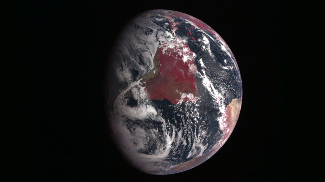
Earth
ID: 11469

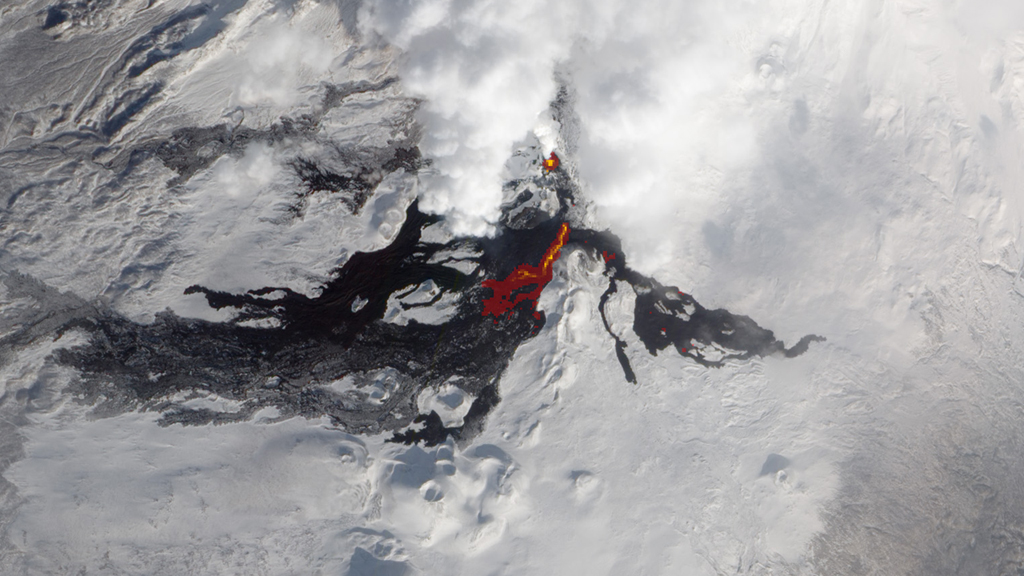
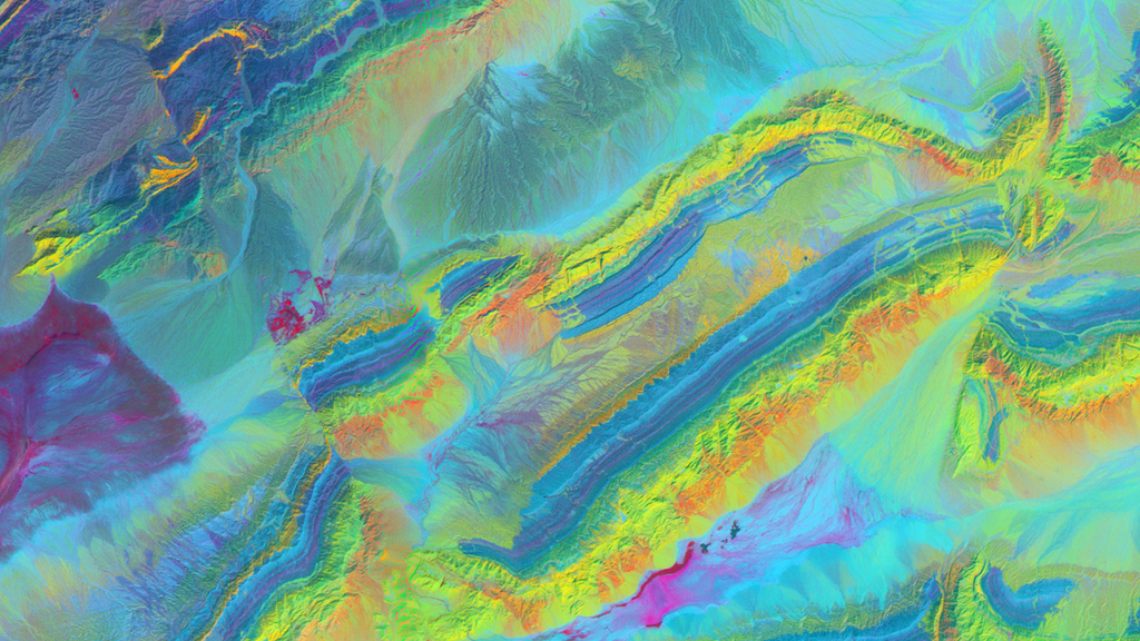
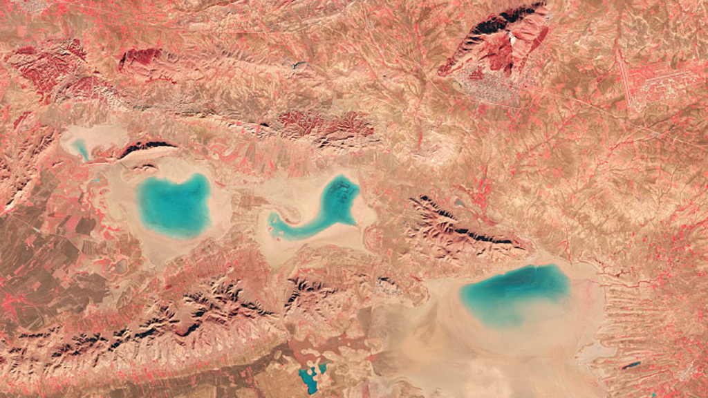
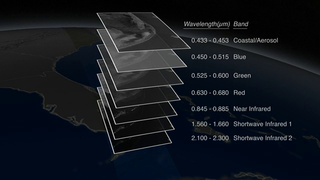
In our photo-saturated world, it’s natural to think of satellite images as snapshots from space. But most aren’t. A satellite image is created by combining measurements of the intensity of certain wavelengths of light, both visible and invisible to humans. When we combine measurements of visible light, the resulting image is true color, or similar to what our eyes would see. When we use non-visible light (usually infrared measurements), the resulting image is false color, and things might look different than we’d expect. Watch the video to see how distinct combinations of light are combined to create powerful and informing satellite views of our planet.
Invisible Earth
Related Story
For More Information
Story Credits
Visualizer/Animator:
Alex Kekesi (Global Science and Technology, Inc.)
Video Editor:
Matthew R. Radcliff (USRA)
Narration:
Kate Ramsayer (Telophase)
Matthew R. Radcliff (USRA)
James R. Irons (NASA/GSFC)
Producer:
Matthew R. Radcliff (USRA)
Lead Scientist:
James R. Irons (NASA/GSFC)
Videographers:
Matthew R. Radcliff (USRA)
Rob Andreoli (Advocates in Manpower Management, Inc.)
Lead Writer:
Holli Riebeek (Sigma Space Corporation)
Please give credit for this item to:
NASA's Earth Observatory
Cover image courtesy of NASA/Johns Hopkins University Applied Physics Laboratory/Carnegie Institution of Washington
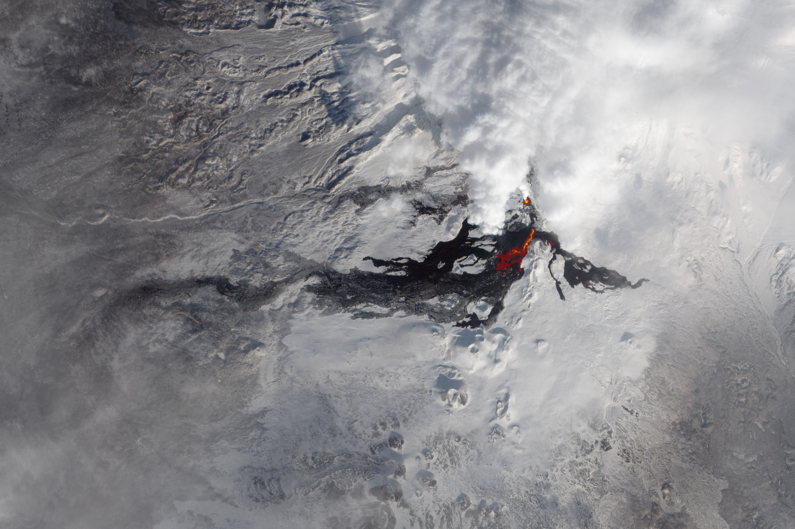
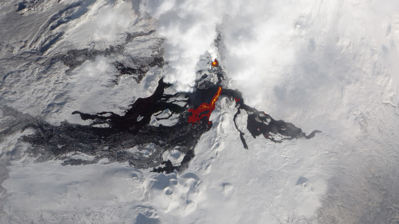
Volcano image courtesy of NASA Earth Observatory/Jesse Allen and Robert Simmon
China image courtesy of NASA Earth Observatory/Robert Simmon
Algeria image courtesy of NASA Earth Observatory/Robert Simmon
NASA's Earth Observatory
Cover image courtesy of NASA/Johns Hopkins University Applied Physics Laboratory/Carnegie Institution of Washington
Volcano image courtesy of NASA Earth Observatory/Jesse Allen and Robert Simmon
China image courtesy of NASA Earth Observatory/Robert Simmon
Algeria image courtesy of NASA Earth Observatory/Robert Simmon
Short URL to share this page:
https://svs.gsfc.nasa.gov/11469
Keywords:
SVS >> App
NASA Science >> Earth
https://svs.gsfc.nasa.gov/11469
Keywords:
SVS >> App
NASA Science >> Earth


