Photon Phriday: One Phull Orbit
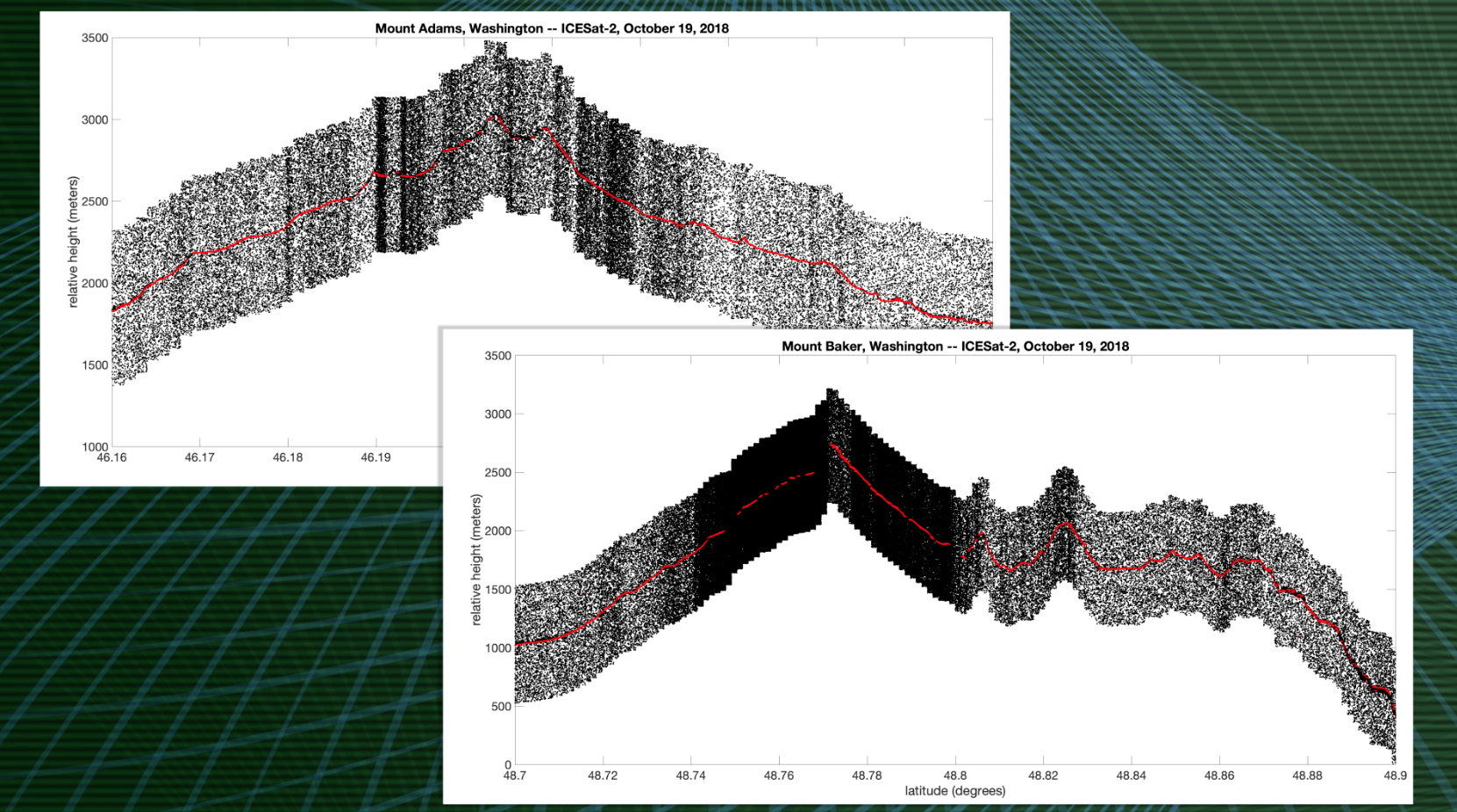
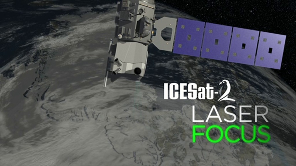
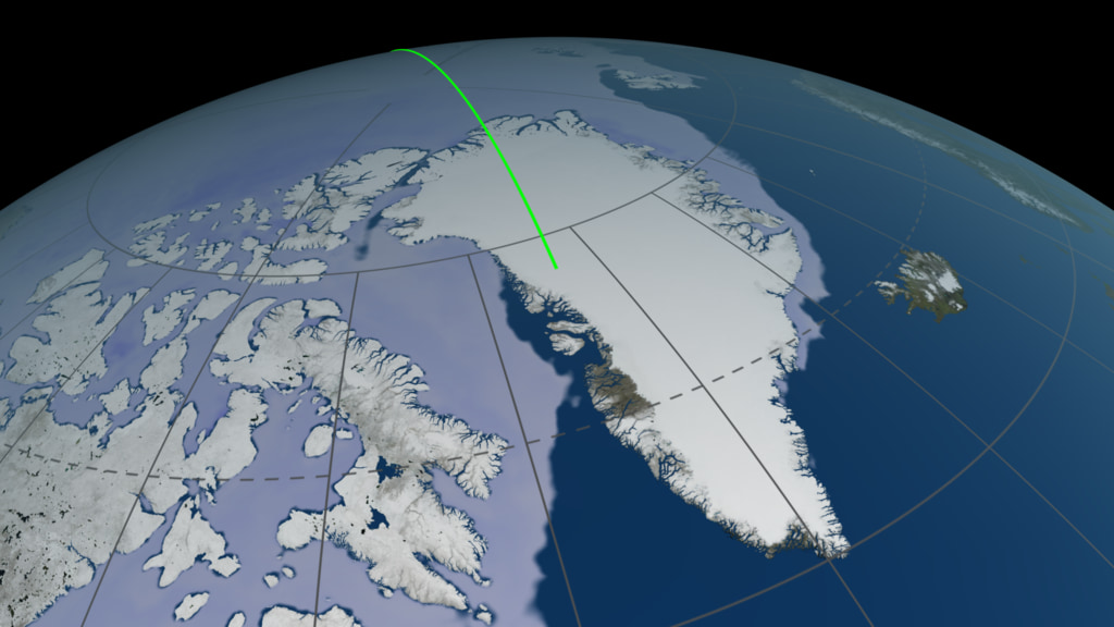
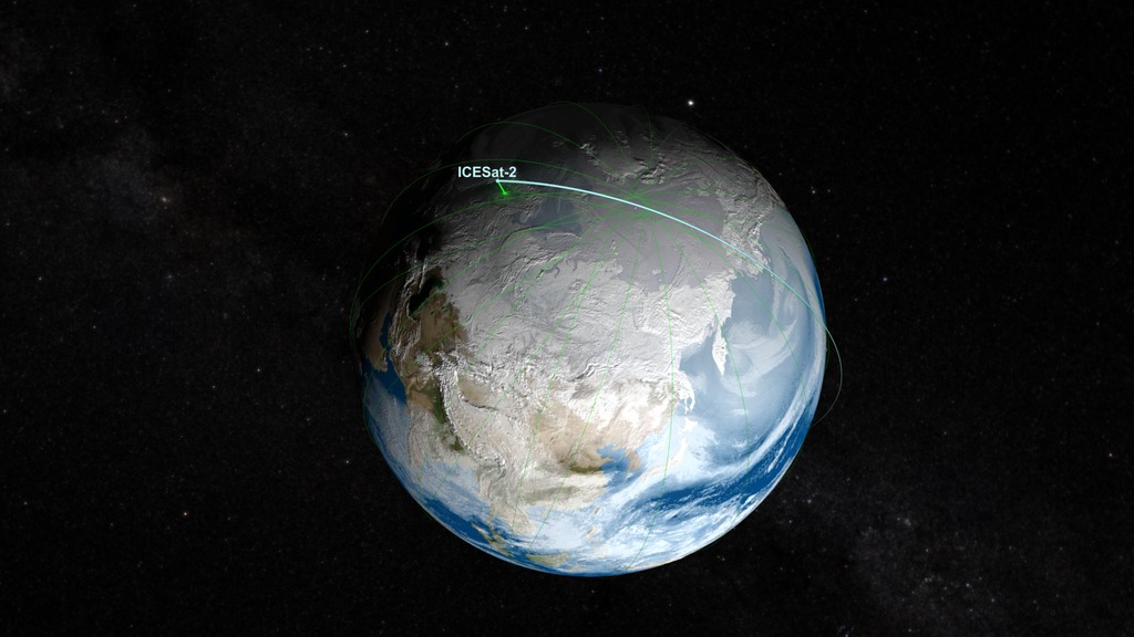
Follow an entire orbit of the ICESat-2 mission as it measures the elevation of oceans, sea ice, mountains and islands around the Earth. This video shows the same orbit (ground reference track 1352) on two different dates (December 26, 2018, and September 24, 2019) to capture the clearest, least cloudy data examples. Each frame shows a different aspect of the orbit. The upper left frame is the entire photon cloud standardized on a global scale. The upper right frame shows selected photon cloud granules that sync with the global scale within a degree in order to show more spatial detail. In many cases, the zoomed-in photon clouds in this frame have been slowed down in order to show details clearly. The bottom right frame shows video examples of the terrain that correspond with where the orbit is. The bottom left terrain is the continuous orbit on a blue marble with labels for countries and other geographic features that represent where the orbit went over or very nearby.
Music: "Sun Age," "Data Visions," "Water Memory," Universal Production Music.
Complete transcript available.
Credits
Please give credit for this item to:
NASA's Goddard Space Flight Center
-
Producer
- Ryan Fitzgibbons (USRA)
-
Technical support
- Aaron E. Lepsch (ADNET Systems, Inc.)
-
Animator
- Adriana Manrique Gutierrez (USRA)
-
Scientists
- Thomas A. Neumann (NASA/GSFC)
- Nathan T. Kurtz (NASA/GSFC)
- Kaitlin Harbeck (SGT)
-
Project support
- Kaitlin Harbeck (SGT)
-
Editor
- Ryan Fitzgibbons (USRA)
-
Visualizer
- Kel Elkins (USRA)
Release date
This page was originally published on Friday, October 16, 2020.
This page was last updated on Wednesday, May 3, 2023 at 1:44 PM EDT.
Missions
This visualization is related to the following missions:Series
This visualization can be found in the following series:Related
- ID: 13301
 Produced Video
 - ID: 11726
 Produced Video
Sources
- ID: 4848
 Visualization
 - ID: 4373
 Visualization