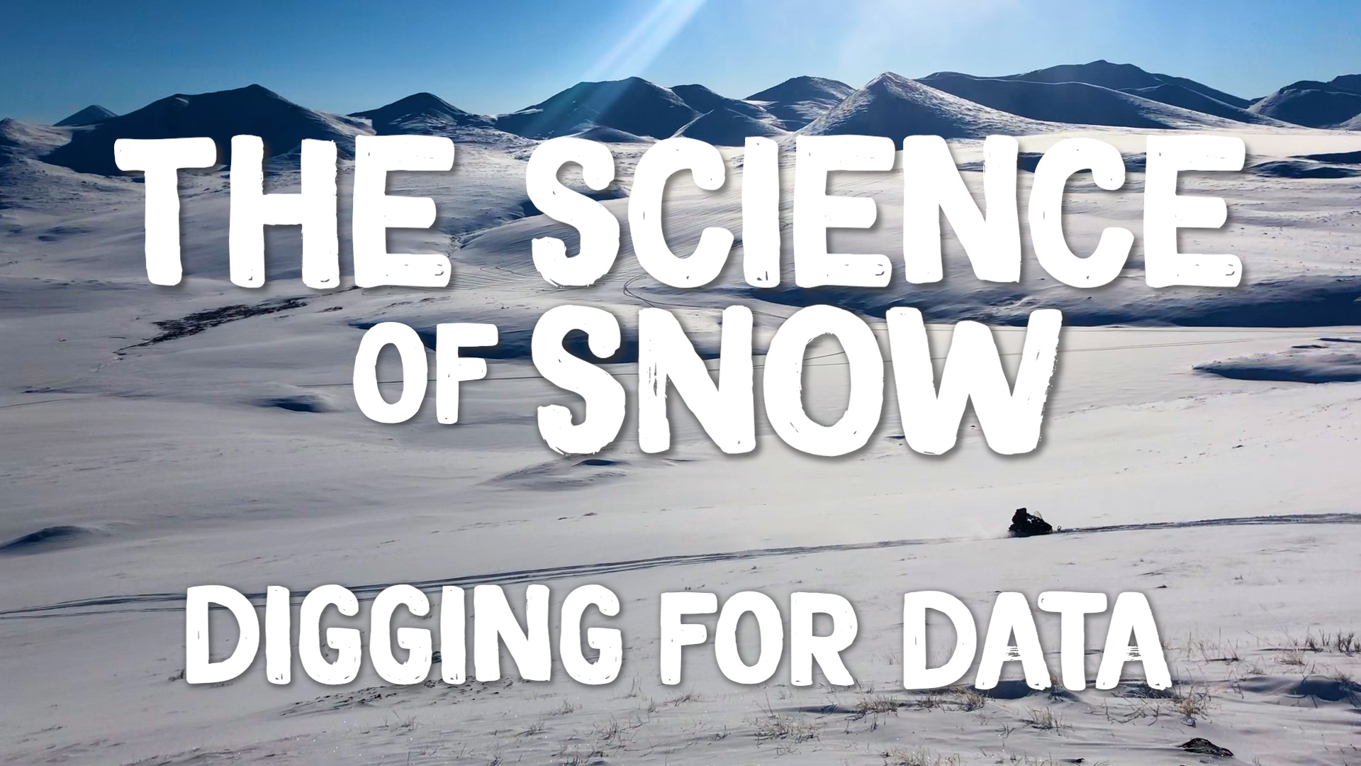
How a NASA Science Flight is No Ordinary Journey
A group of scientists and pilots conducted a series of science flights over Western Colorado for a new five-year NASA-led airborne mission called SnowEx.
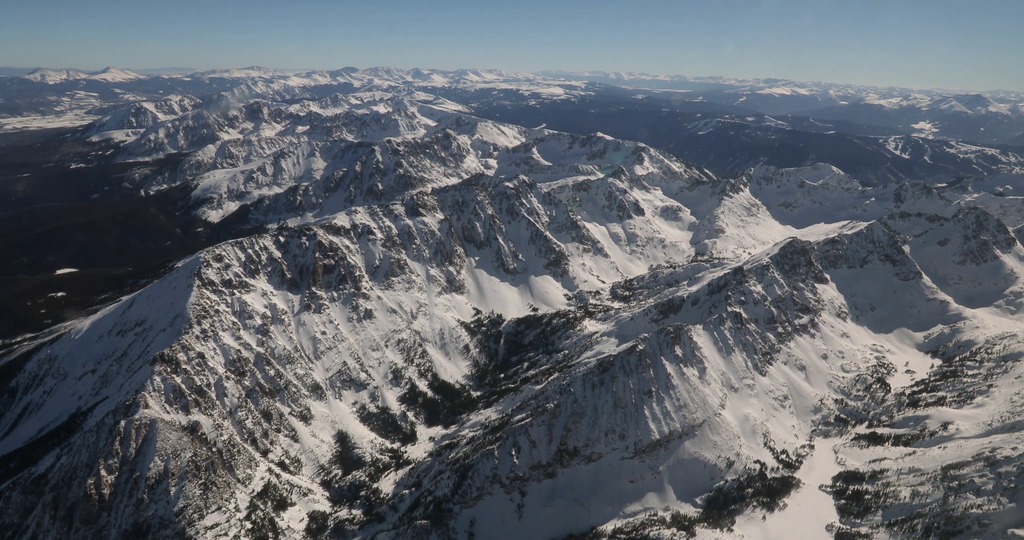
SnowEx is exploring better ways to measuring how much water is stored in snow-covered regions with the goal of eventually creating a future snow satellite mission. More accurate snow measurements will help scientists and decisions-makers better understand our world’s water supply and better predict floods and droughts.
Data acquired from the SnowEx campaign will be stored at the National Snow and Ice Data Center in Boulder, Colorado, and will be available to anyone to order at no cost, as is the case with all NASA data.
For more information:
NASA's SnowEx Challenges the Sensing Techniques...'Until They Break'
Complete transcript available.
Music credit: “Time Shift Equalibrium” by Ben Niblett [PRS] and Jon Cotton [PRS] from Killer Tracks Music
Watch this video on the NASA Goddard YouTube channel.
A GIF optimized for posting on Twitter.
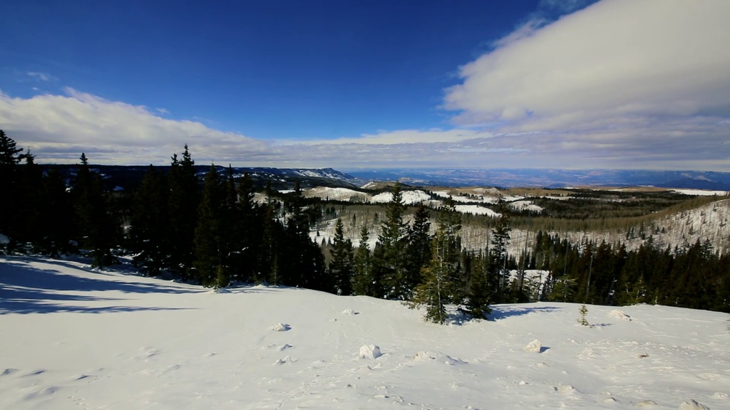
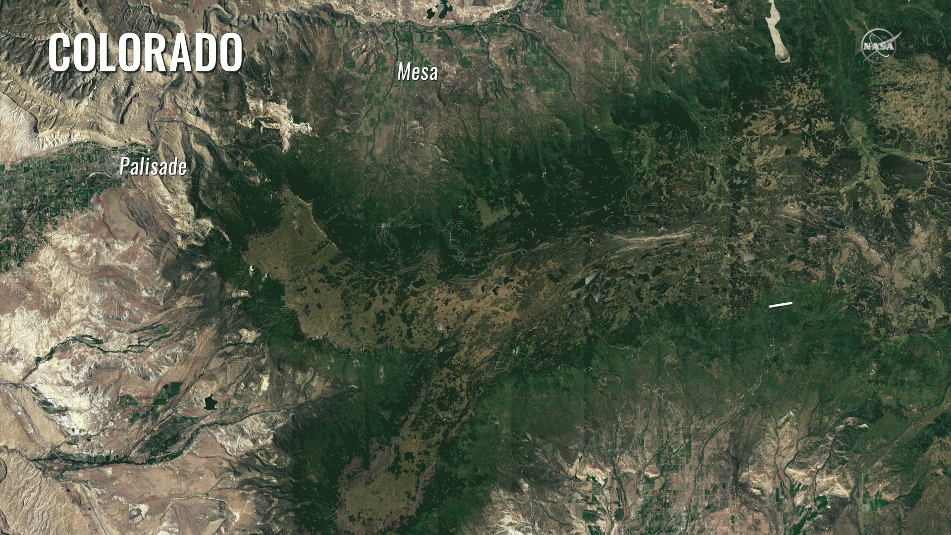
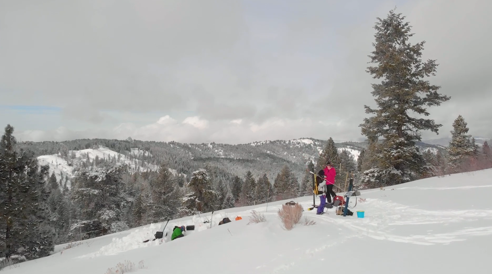
The SnowEx mission flew over specific flight lines in Grand Mesa and Senator Beck Basin where scientists were also on the ground collecting science data.
A GIF optimized for posting on Twitter.
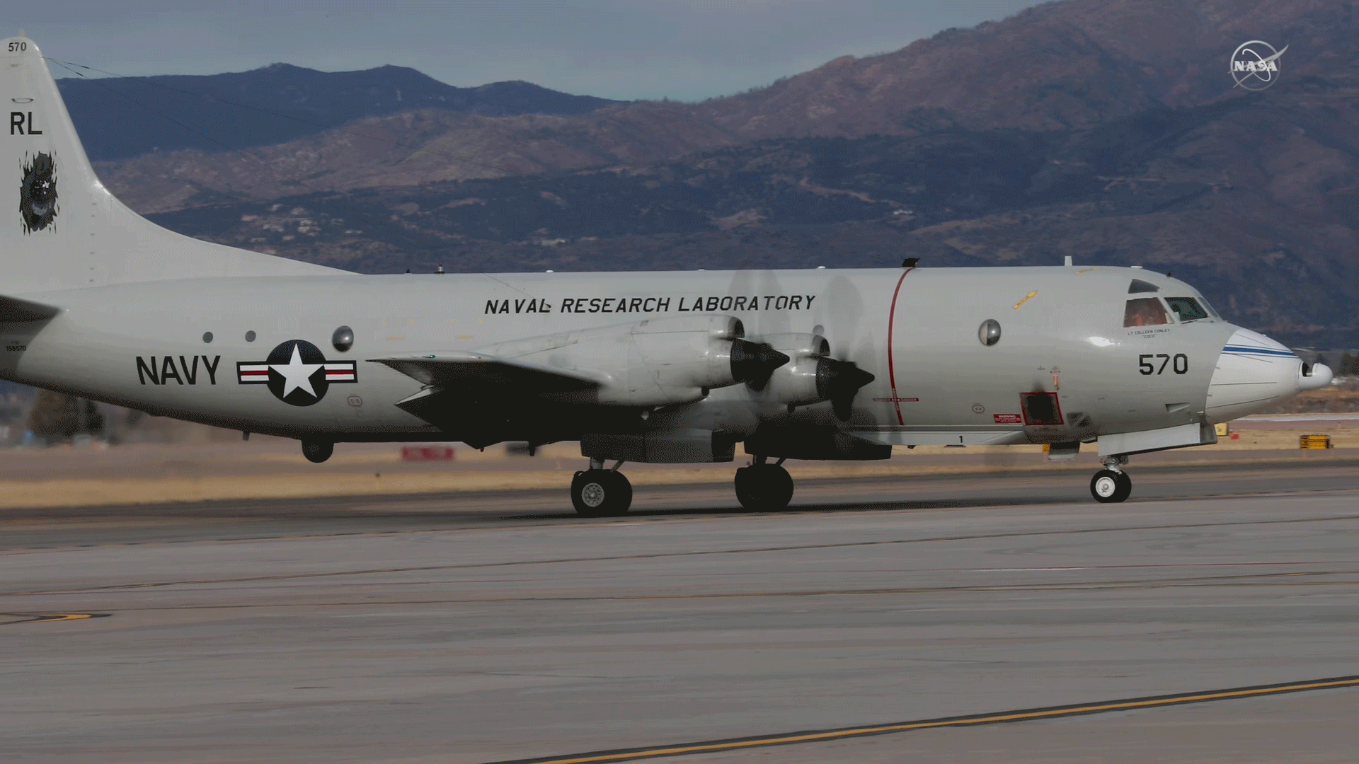
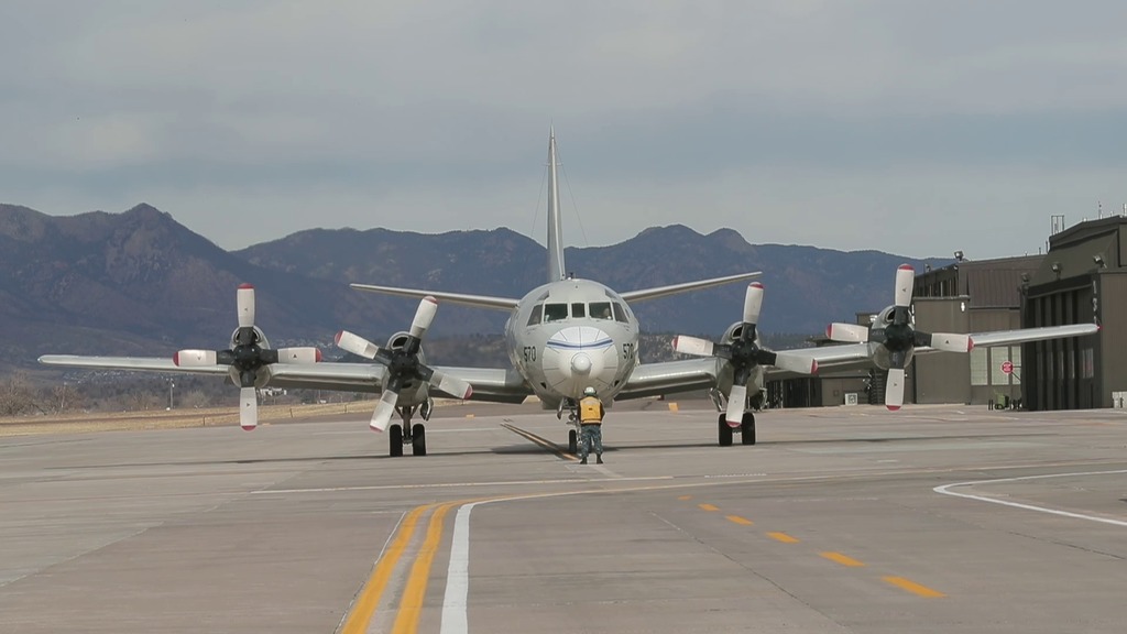
The Navy P-3 Orion aircraft was used on the SnowEx mission.
A GIF optimized for posting on Twitter.
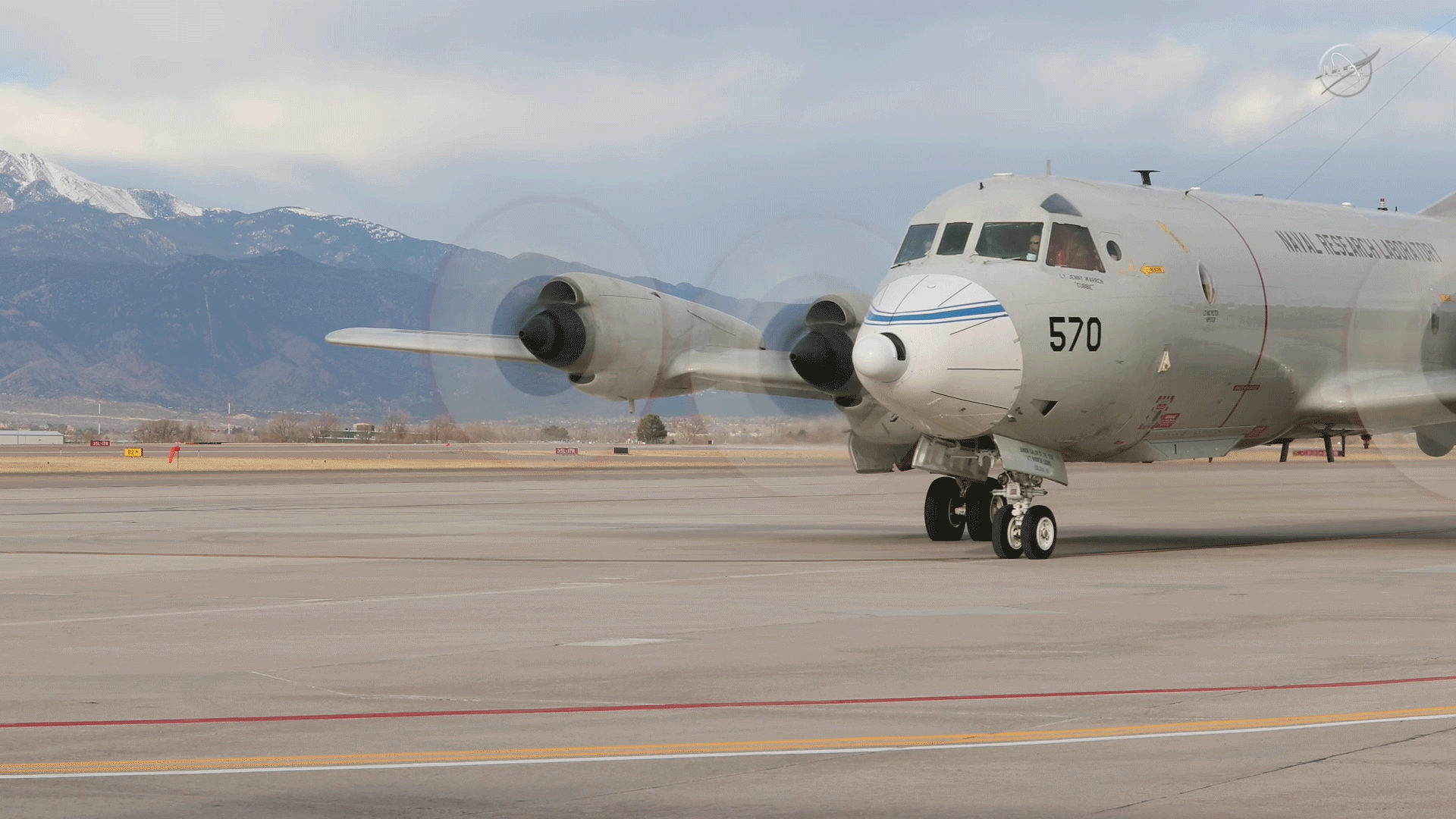
The Navy P-3 Orion aircraft was used on the SnowEx mission.
For More Information
Credits
Please give credit for this item to:
NASA's Goddard Space Flight Center
-
Scientists
- Edward Kim (NASA/GSFC)
- Eugenia De Marco (ATA Aerospace)
- Albert Wu (ATA Aerospace)
-
Producer
- Joy Ng (USRA)
-
Videographers
-
Technical support
- Aaron E. Lepsch (ADNET Systems, Inc.)
Release date
This page was originally published on Friday, March 24, 2017.
This page was last updated on Wednesday, May 3, 2023 at 1:47 PM EDT.
Series
This visualization can be found in the following series:Related
- ID: 14351
 Produced Video
 - ID: 13820
 Produced Video
 - ID: 12848
![Complete transcript available.Music credit: “Reach Into The Night” by Andrew Michael Britton [PRS], David Stephen Goldsmith [PRS], Mikey Rowe [PRS] and “Progressive Practice” by Emmanuel David Lipszyc [SACEM], Franck Lascombes [SACEM], Sebastien Charles Lipszyc [SACEM] From Killer TracksWatch this video on the NASA Goddard YouTube channel.](/vis/a010000/a012800/a012848/12848_ICEPOP_Final.00547_print.jpg) Produced Video
Produced Video - ID: 12511
![Complete transcript available.Music credit: "Detective Analysis" by Laurent Dury [SACEM] from Killer Tracks Music](/vis/a010000/a012500/a012511/ERNSnowEx_YouTube.00083_print.jpg) Produced Video
Produced Video
Sources
- ID: 12496
- ID: 12489
- ID: 12490