Rome
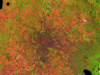
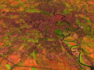
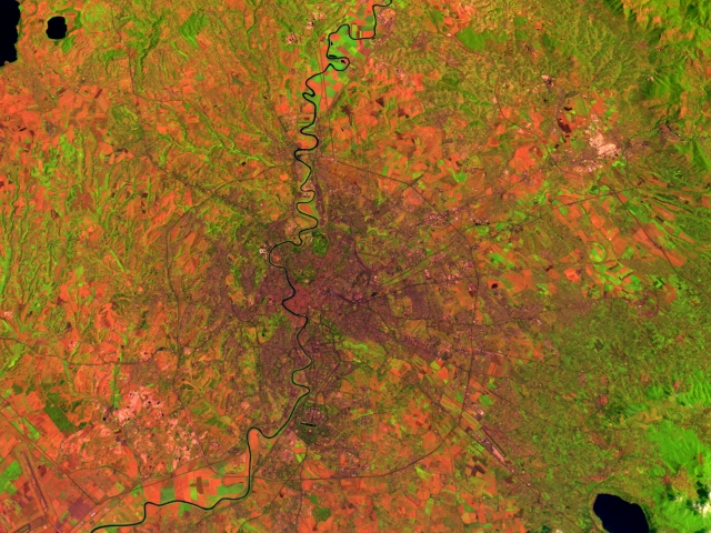
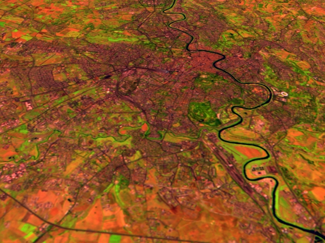
These two scenes show the city of Rome. The wider area scene looks at the city from above with north being up in the image. The second image is from the northern part of the city looking back towards the center. The Tiber River weaves through the middle of the city, running approximately north to south. The Landsat data shows Thematic Mapper bands 5, 4, and 2 displayed as red, green, and blue respectively. This wide range of spectral coverage shows open ground as reddish in tone, greens show vegetation, concrete and asphalt surfaces appear dark grey, and water tends to be a dark blue.
Technical notes: |