This multimedia project is the work of a dedicated team of researchers, animators, and media specialists. A companion video to this web site is available from NASA-TV.
Below are a list of agencies, departments, and researchers who provided expertise and data for this production:
NASA - Goddard Space Flight Center
Scientific Visualization Studio
Television Production NASA-TV/GSFC
The following researchers provided source data for each attributed story:
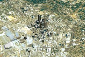
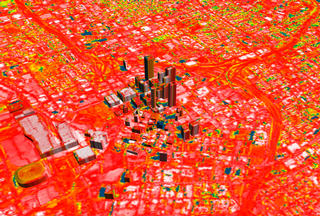
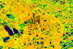
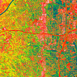
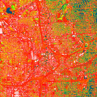
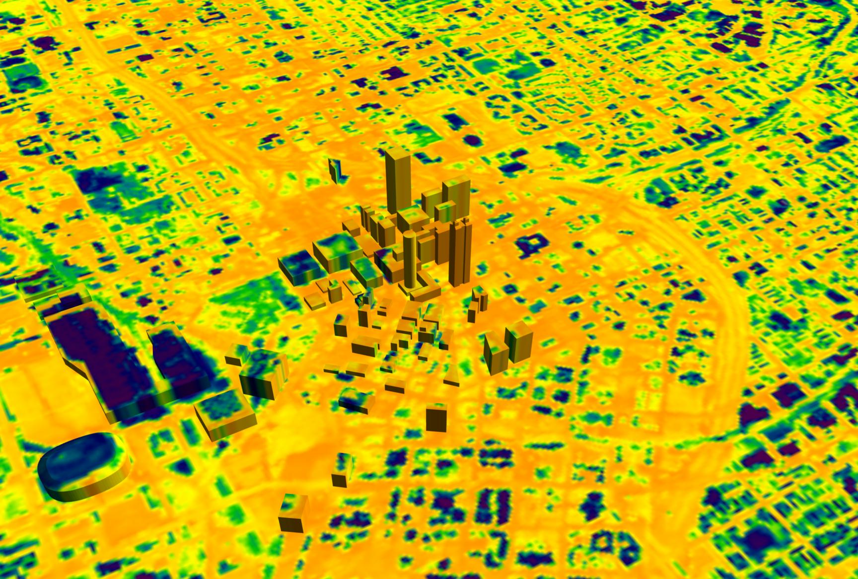
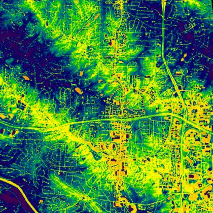
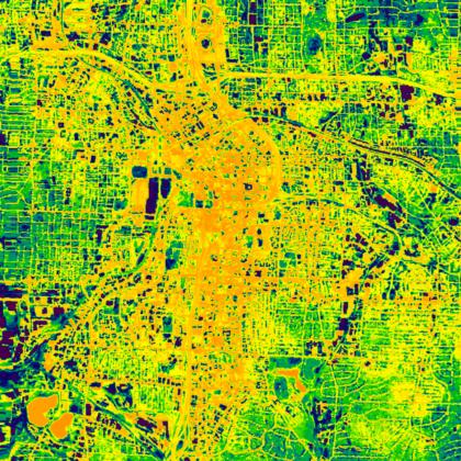
- Atlanta Heat Island -- Dale Quattrochi, Marshall Space Flight Center
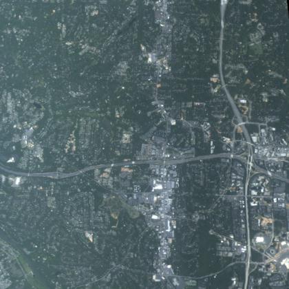
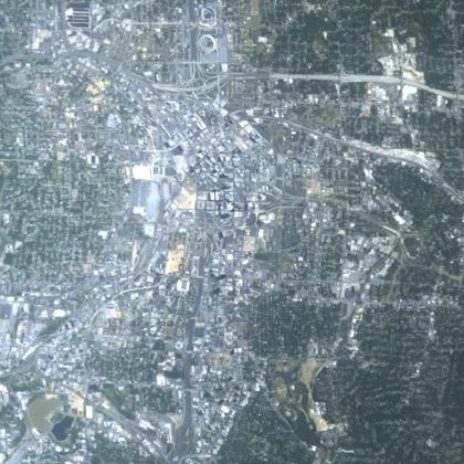
- Portland & Washington Urban Growth -- Jeffrey G. Masek, University of Maryland
- ATLAS thermal data -Burgess Howell, Global Hydrology and Climate Center
- Convection/Cloud data - Bob Bornstein & Qinglu Lin
- land use data - Chor-pang Lo, Univ. of GA
- Shenzhen Growth -- Karen C. Seto, Boston University
- Urban Sprawl and Photosynthesis -- Marc L. Imhoff, Goddard Space Flight Center
Content Preparation and Project Production-Michael Starobin/GSFC
|


