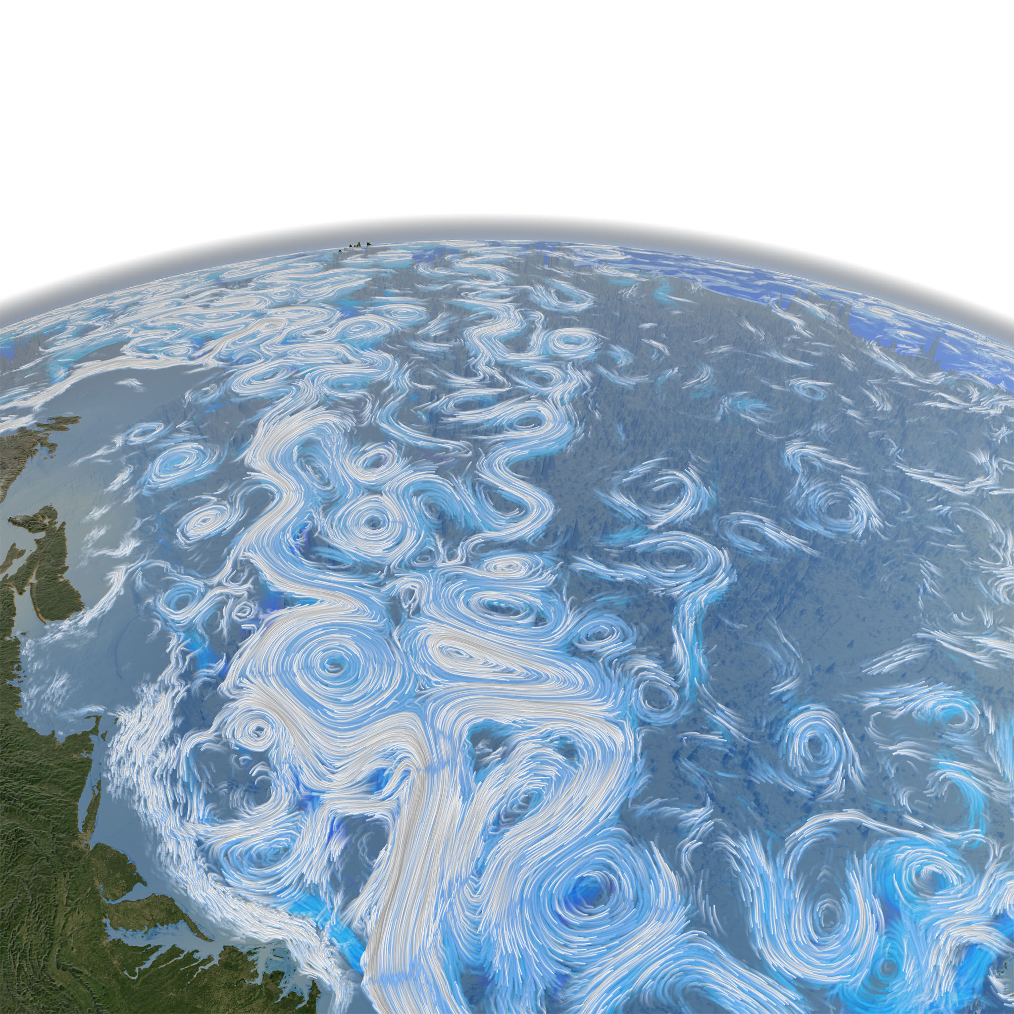
Wind and Ocean Circulation shot for Dynamic Earth Dome Show
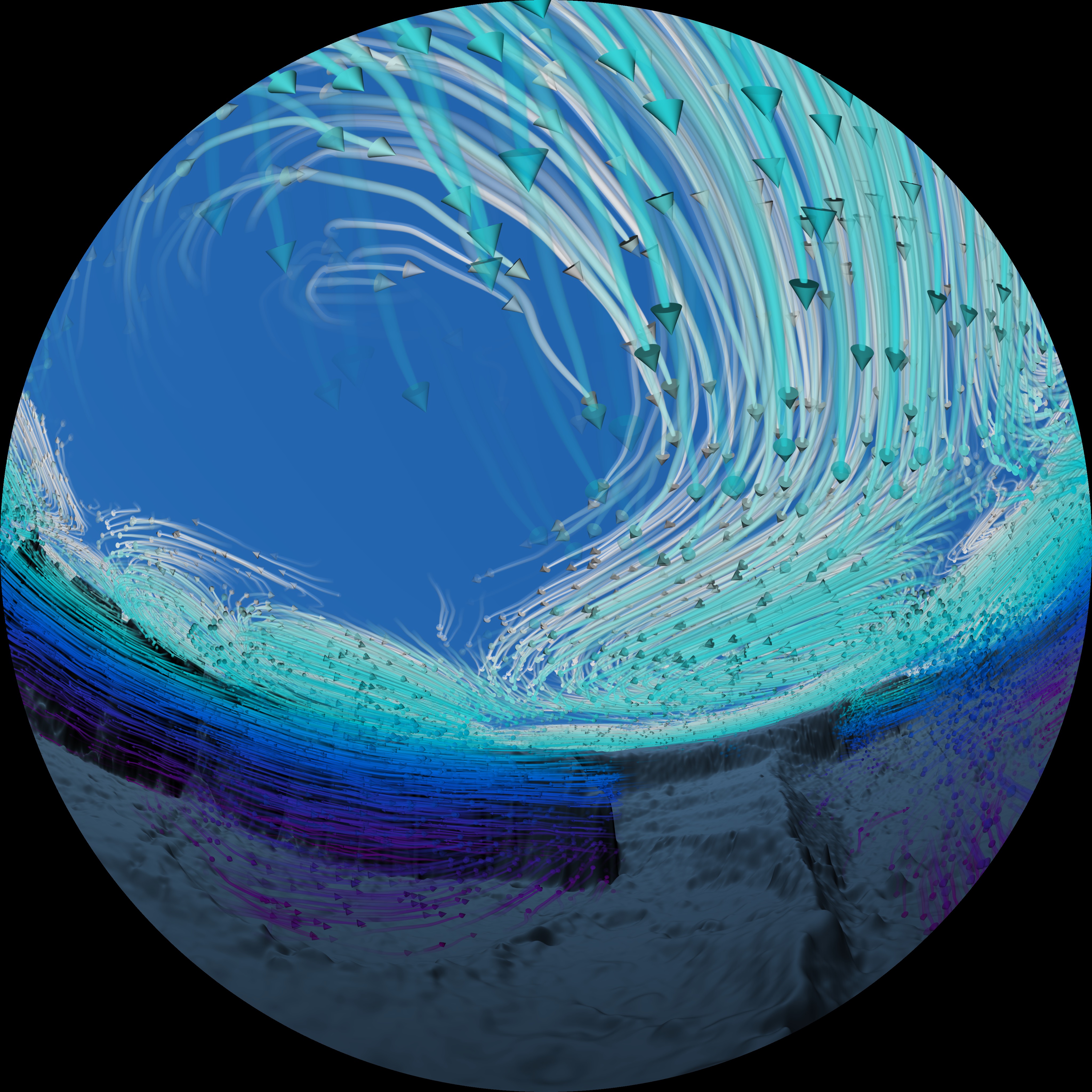
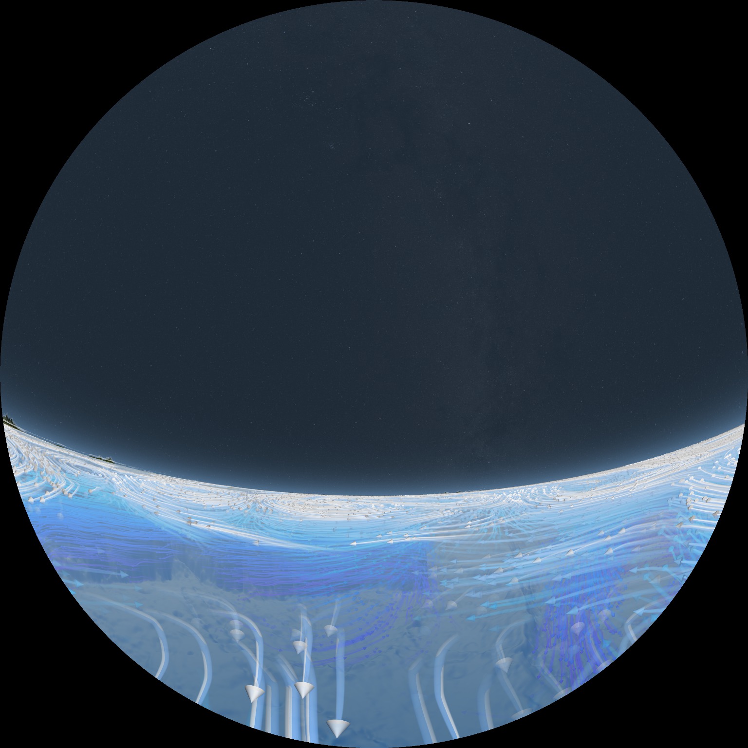
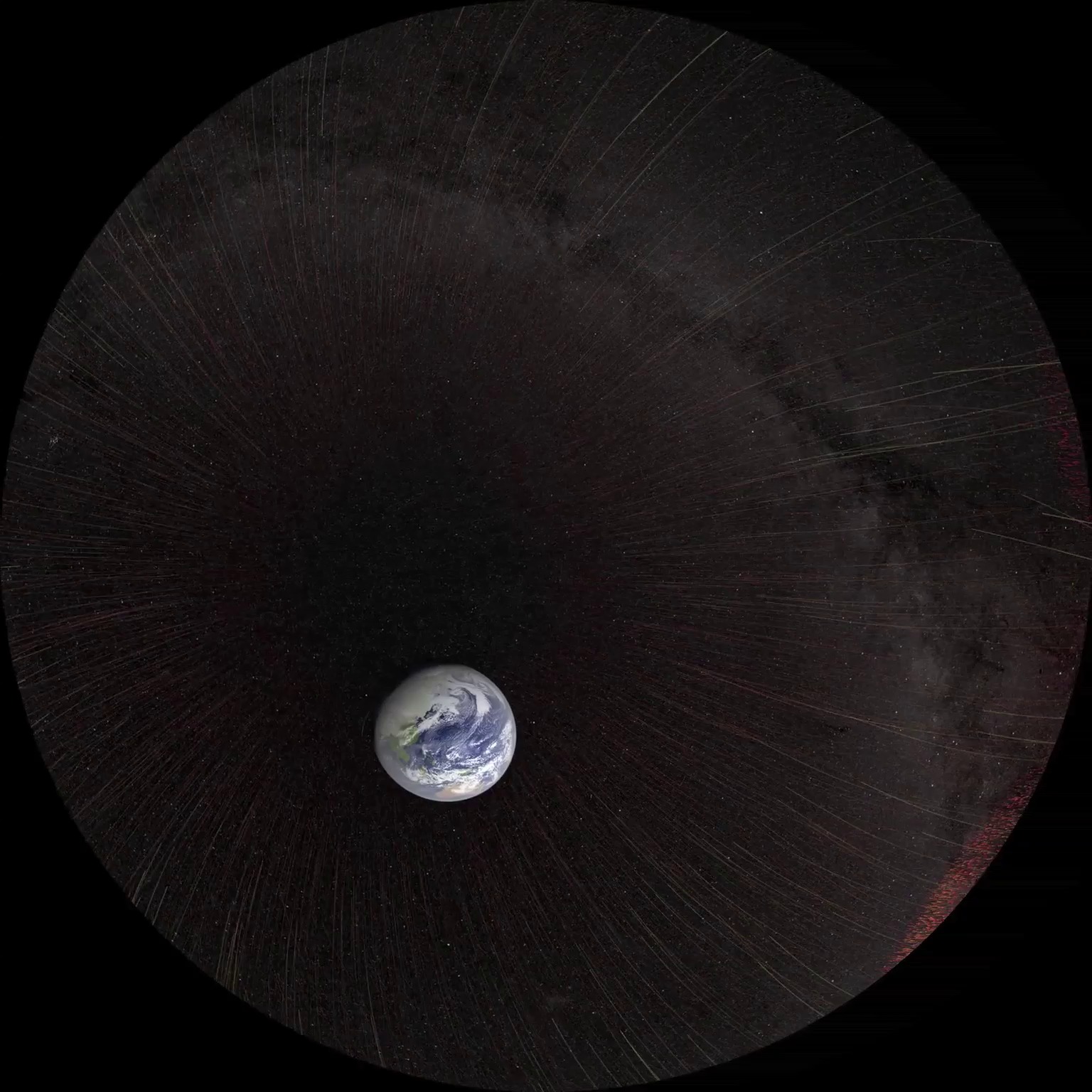
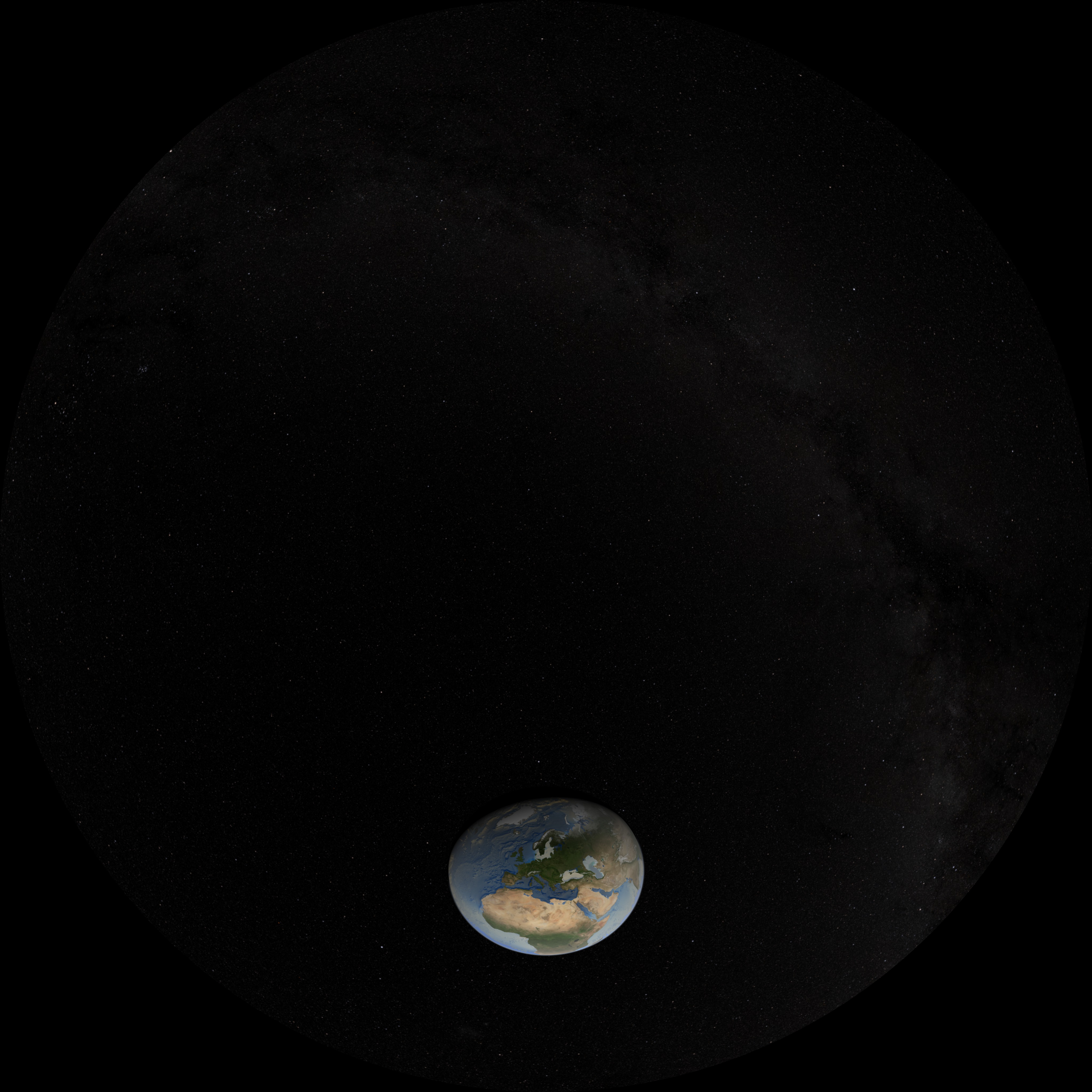
The camera slowly pushes in towards the Earth revealing global wind patterns. The wind patterns are from the MERRA computational model of the atomsphere. As the camera continues to push in, the winds fade away, revealing ocean currents which are driven, in part, by the winds. The ocean currents are from the ECCO-2 computational model of the oceans and ice. Only the higher speed ocean currents are shown. The camera moves around the Western Atlantic highlighting the Gulf stream from above and below. The camera finally emerges from beneath sea level and moves over to the Gulf of Mexico to examine the Loop Current.
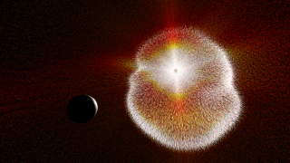
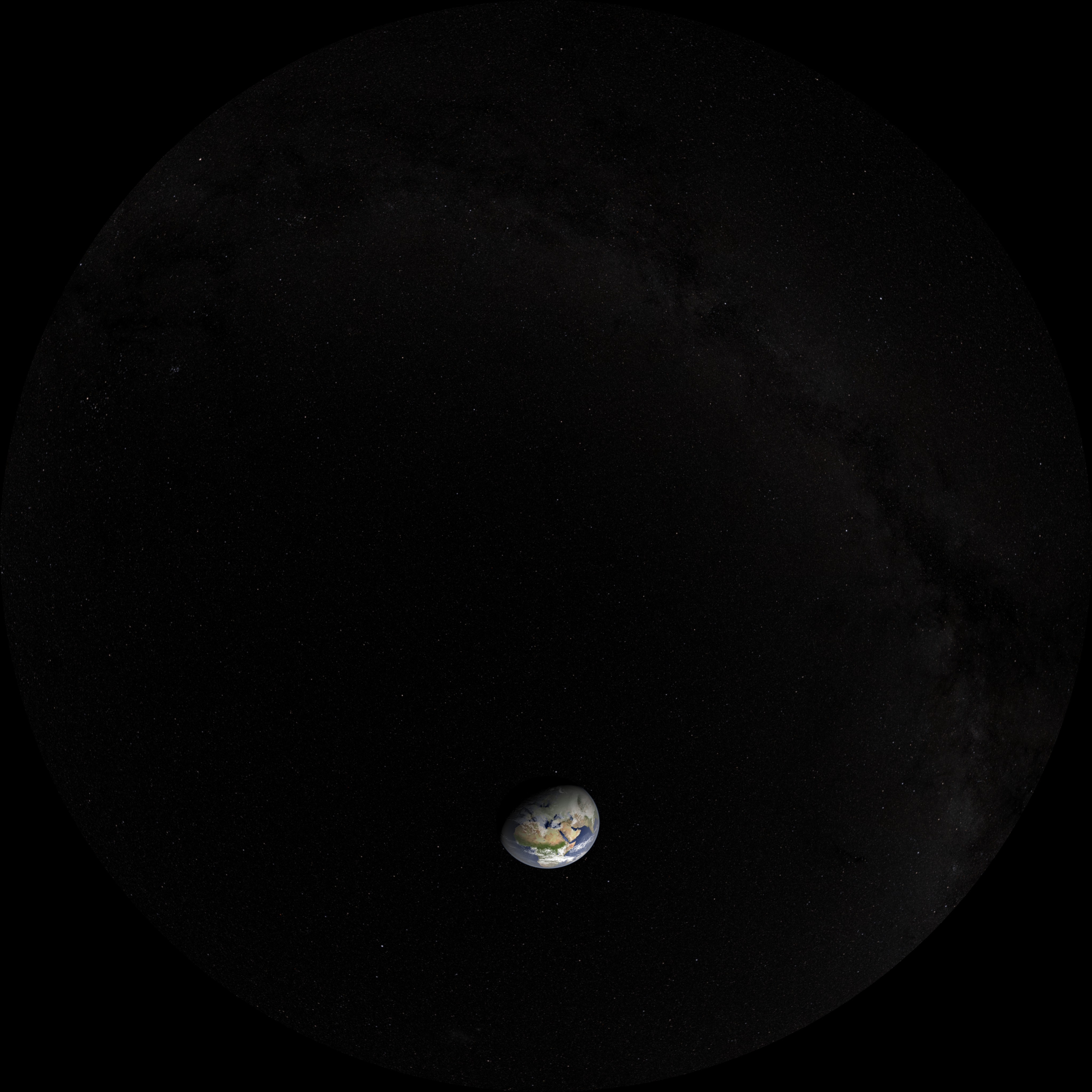
This shot is designed to seamlessly match to the end of the Earth/CME shot (animation id #3551.). Topographic features are exaggerated 20 times above water and 40 times below water. The exaggeration is primarily to allow the viewer to distinguish the depths of the flow fields.
This visualization was shown in the "VR Village" at SIGGRAPH 2015.
Related
Visualization Credits
Horace Mitchell (NASA/GSFC): Animator
Thomas Lucas (Thomas Lucas Productions): Producer
NASA/Goddard Space Flight Center Scientific Visualization Studio
https://svs.gsfc.nasa.gov/3879
Mission:
Terra
Data Used:
Terra and Aqua/MODIS/Blue Marble: Next Generation also referred to as: BMNG
The Blue Marble data is courtesy of Reto Stockli (NASA/GSFC).
Hipparcos/Telescope/Tycho 2 Catalogue also referred to as: Tycho Catalogue
DatabaseMERRA
Analysis - 2005/09/05 through 2005/09/19ECCO2 High Resolution Ocean and Sea Ice Model also referred to as: ECCO2
Model - NASA/JPL - 2005/04/25 through 2005/11/25This item is part of these series:
Dynamic Earth Dome Show
SIGGRAPH 2015
Keywords:
SVS >> Ocean Floor
DLESE >> Physical oceanography
GCMD >> Earth Science >> Oceans
GCMD >> Earth Science >> Oceans >> Ocean Circulation >> Ocean Currents
GCMD >> Earth Science >> Oceans >> Ocean Circulation >> Wind-driven Circulation
SVS >> Atmosphere >> Winds >> Circulation
SVS >> Wind Patterns
SVS >> Circulation
SVS >> Atmosphere >> Circulation
NASA Science >> Earth
SVS >> Planetarium
GCMD keywords can be found on the Internet with the following citation: Olsen, L.M., G. Major, K. Shein, J. Scialdone, S. Ritz, T. Stevens, M. Morahan, A. Aleman, R. Vogel, S. Leicester, H. Weir, M. Meaux, S. Grebas, C.Solomon, M. Holland, T. Northcutt, R. A. Restrepo, R. Bilodeau, 2013. NASA/Global Change Master Directory (GCMD) Earth Science Keywords. Version 8.0.0.0.0


