Earth
ID: 13762
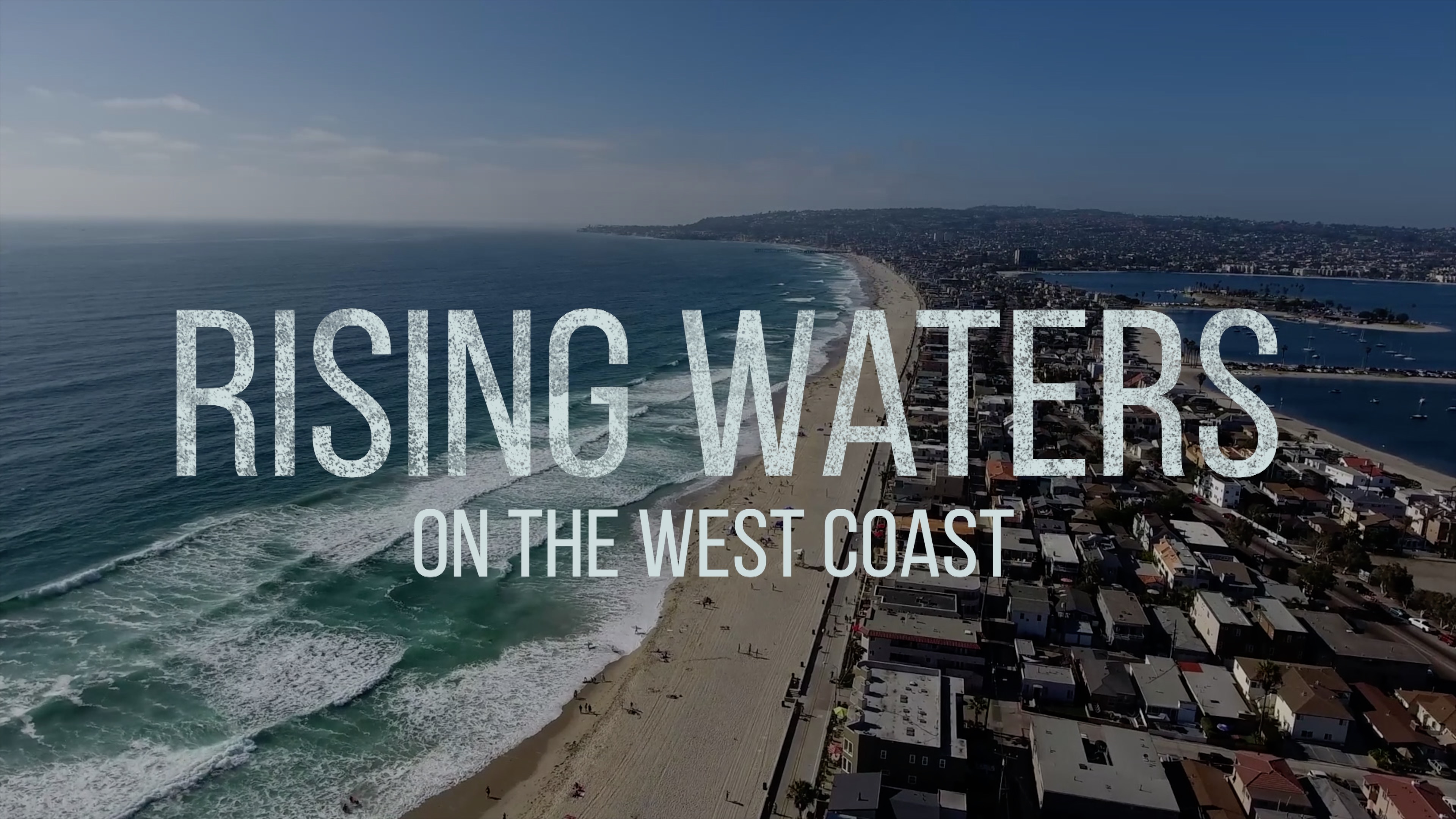
In the northeastern Pacific off the U.S. West Coast, sea level rise was 4 to 5 millimeters a year lower than the global average during the 1990s and 2000s.
Then around 2010, sea level began steadily increasing along the West Coast. The largest increase, in 2014-16, coincided with a large El Niño event in 2015-16. While the rate has stabilized since then, it remains higher than the global average.
Changing conditions in the Pacific have stirred up Earth’s largest ocean and redistributed its heat, piling up warm waters along U.S. Western shores and raising sea level in the process.
nasa.gov/sea-level-rise-2020
Rising Waters on the West Coast
Then around 2010, sea level began steadily increasing along the West Coast. The largest increase, in 2014-16, coincided with a large El Niño event in 2015-16. While the rate has stabilized since then, it remains higher than the global average.
Changing conditions in the Pacific have stirred up Earth’s largest ocean and redistributed its heat, piling up warm waters along U.S. Western shores and raising sea level in the process.
nasa.gov/sea-level-rise-2020
Related
Credits
James Round (NASA/JPL CalTech): Lead Producer
Bailee DesRocher (USRA): Animator
Alan Buis (NASA/JPL CalTech): Writer
Bailee DesRocher (USRA): Animator
Alan Buis (NASA/JPL CalTech): Writer
Please give credit for this item to:
NASA's Goddard Space Flight Center
NASA's Goddard Space Flight Center
Short URL to share this page:
https://svs.gsfc.nasa.gov/13762
This item is part of this series:
Narrated Movies
Keywords:
DLESE >> Physical oceanography
GCMD >> Earth Science >> Climate Indicators >> Teleconnections >> El Nino Southern Oscillation
GCMD >> Earth Science >> Climate Indicators >> Teleconnections >> Pacific Decadal Oscillation
GCMD >> Earth Science >> Oceans >> Coastal Processes >> Sea Level Rise
GCMD >> Location >> Pacific Ocean
NASA Science >> Earth
GCMD keywords can be found on the Internet with the following citation: Olsen, L.M., G. Major, K. Shein, J. Scialdone, S. Ritz, T. Stevens, M. Morahan, A. Aleman, R. Vogel, S. Leicester, H. Weir, M. Meaux, S. Grebas, C.Solomon, M. Holland, T. Northcutt, R. A. Restrepo, R. Bilodeau, 2013. NASA/Global Change Master Directory (GCMD) Earth Science Keywords. Version 8.0.0.0.0


