Earth
ID: 13145
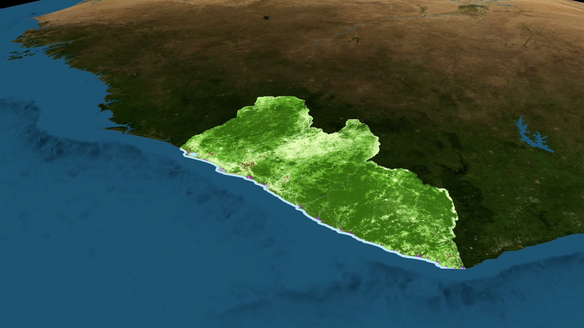
NASA is working alongside Conservation International and the Liberian Government through the Environmental Protection Agency (EPA) to pilot an innovative and replicable approach to more accurately map ecosystems to support effective planning and sustainable decision-making. A NASA research team has made land cover maps of the entire country for every year in the last two decades using images from the joint NASA and United States Geological Survey’s Landsat mission. The team then refined the classifications using very high resolution commercial satellite data and tree height information from the Global Ecosystem Dynamics Investigation (GEDI) program
Conservation International and the Liberian Government through the EPA refined those land cover maps using biodiversity information from their field studies and local knowledge from Liberian communities. The efforts of Conservation International and the Liberian Government through the EPA, combined with the NASA land cover maps, yield ecosystem extent maps which depict the changes in ecosystem types across the country.
Economics of Nature: Mapping Liberia’s Ecosystems to Understand Their Value
Conservation International and the Liberian Government through the EPA refined those land cover maps using biodiversity information from their field studies and local knowledge from Liberian communities. The efforts of Conservation International and the Liberian Government through the EPA, combined with the NASA land cover maps, yield ecosystem extent maps which depict the changes in ecosystem types across the country.
Source Material

For More Information
Credits
Katie Jepson (USRA): Lead Producer
Sofie Bates (KBR Wyle Services, LLC): Lead Writer
Trent L. Schindler (USRA): Lead Visualizer
Celio de Sousa (USRA): Scientist
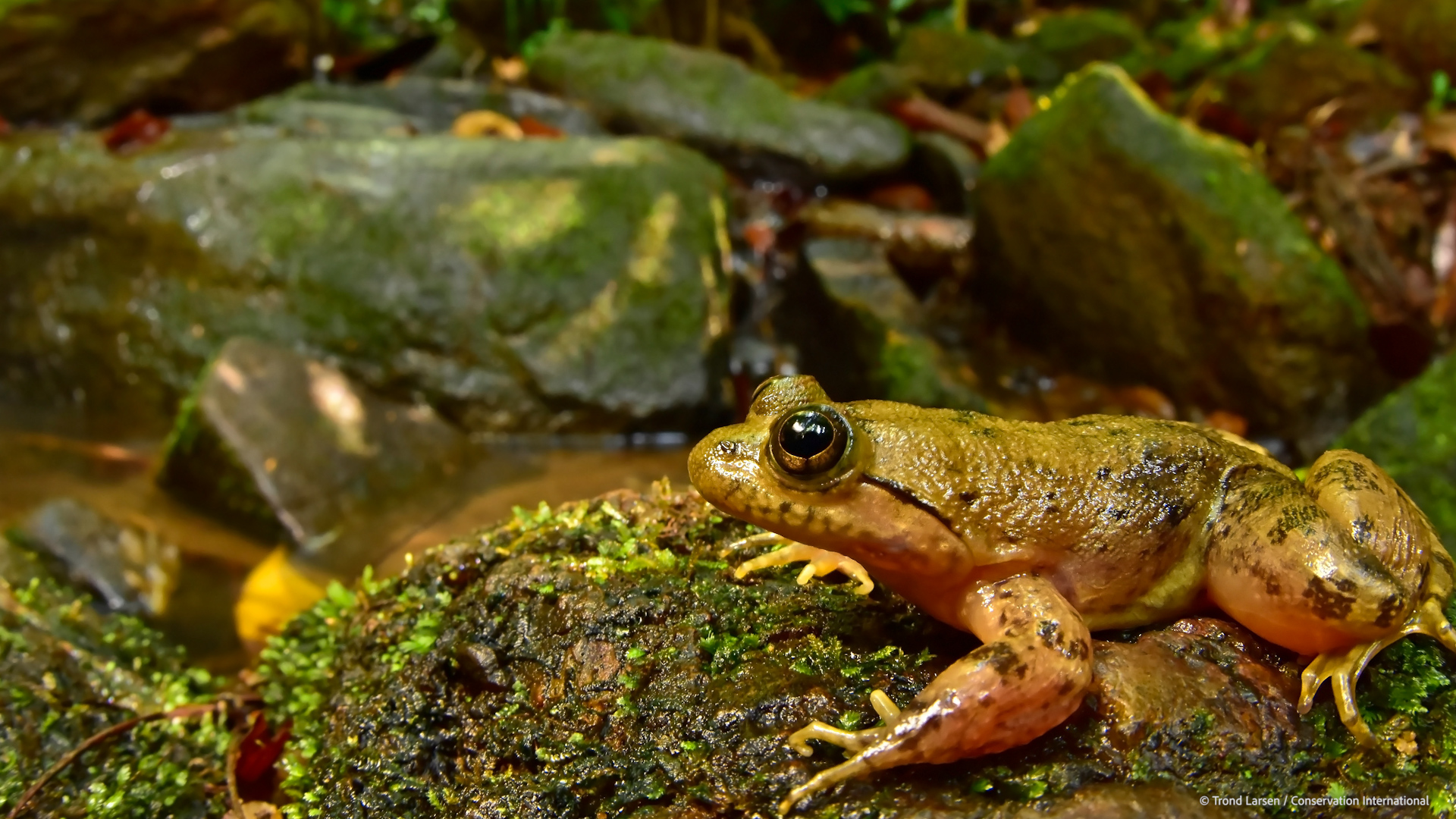
Trond Larsen (Conservation International): Scientist
Chris Neigh (NASA/GSFC): Scientist
Temilola Fatoyinbo (NASA/GSFC): Scientist
Daniel Juhn (Conservation International): Scientist
Sofie Bates (KBR Wyle Services, LLC): Lead Writer
Trent L. Schindler (USRA): Lead Visualizer
Celio de Sousa (USRA): Scientist
Trond Larsen (Conservation International): Scientist
Chris Neigh (NASA/GSFC): Scientist
Temilola Fatoyinbo (NASA/GSFC): Scientist
Daniel Juhn (Conservation International): Scientist
Please give credit for this item to:
NASA's Scientific Visualization Studio
NASA's Scientific Visualization Studio
Short URL to share this page:
https://svs.gsfc.nasa.gov/13145
Missions:
Landsat
Global Ecosystem Dynamics Investigation Lidar (GEDI)
This item is part of this series:
Narrated Movies
Keywords:
SVS >> HDTV
DLESE >> Human geography
SVS >> Landsat
DLESE >> Physical geography
GCMD >> Earth Science >> Human Dimensions >> Land Use/Land Cover
GCMD >> Earth Science >> Human Dimensions >> Environmental Impacts >> Conservation
SVS >> Ecosystems
NASA Science >> Earth
SVS >> Mapping
GCMD keywords can be found on the Internet with the following citation: Olsen, L.M., G. Major, K. Shein, J. Scialdone, S. Ritz, T. Stevens, M. Morahan, A. Aleman, R. Vogel, S. Leicester, H. Weir, M. Meaux, S. Grebas, C.Solomon, M. Holland, T. Northcutt, R. A. Restrepo, R. Bilodeau, 2013. NASA/Global Change Master Directory (GCMD) Earth Science Keywords. Version 8.0.0.0.0


