ICESat-2 L-30 Science Briefing Graphics
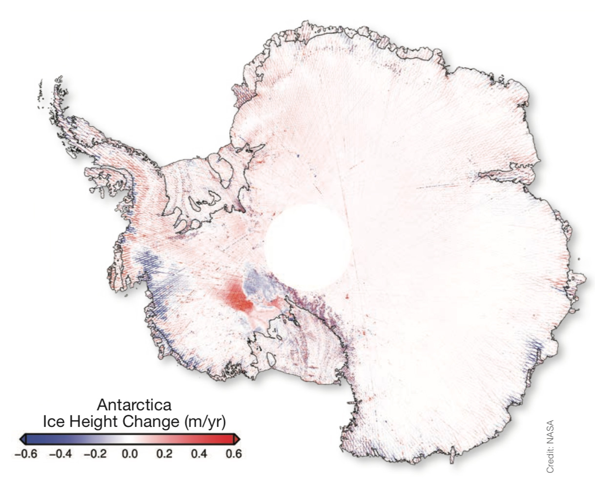
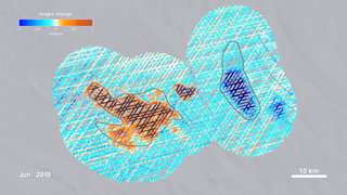
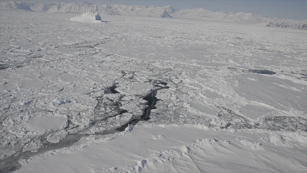
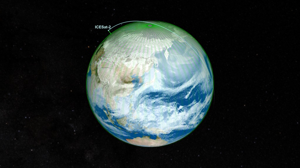
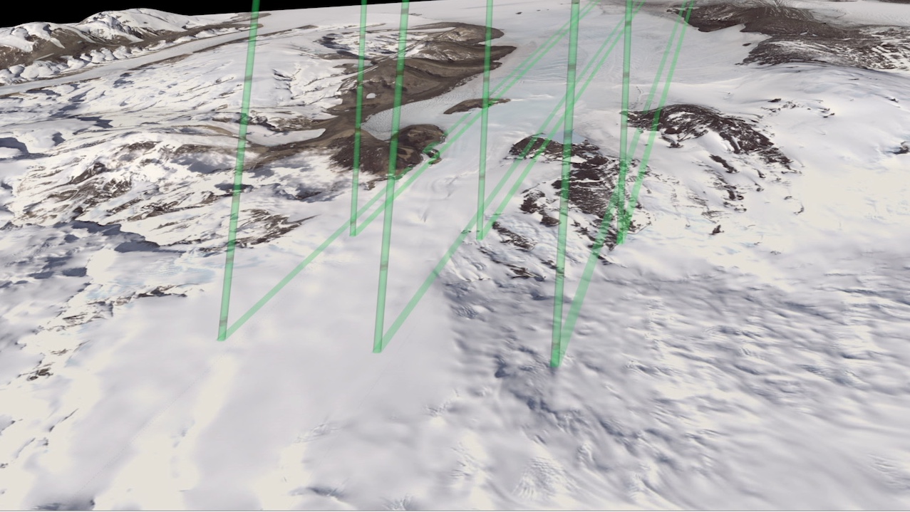
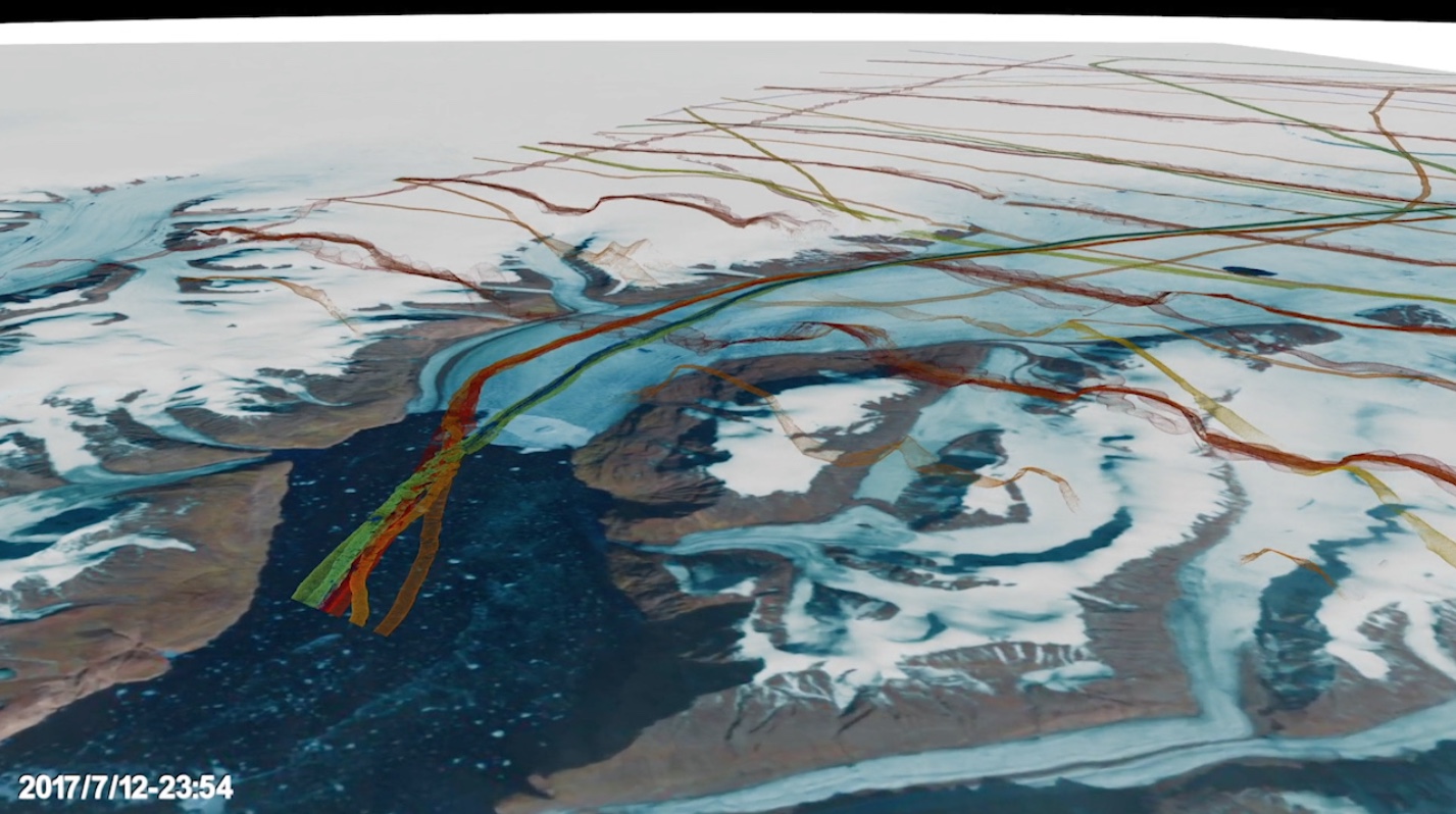
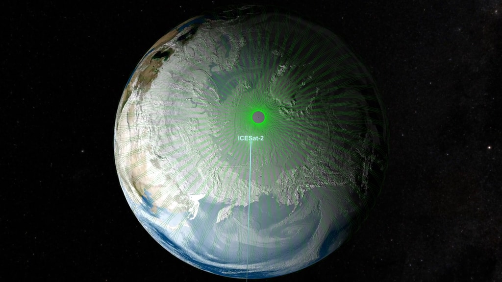
NASA’s Ice, Cloud and land Elevation Satellite-2 (ICESat-2) will measure the average annual elevation change of land ice covering Greenland and Antarctica to within the width of a pencil, capturing 60,000 measurements every second.
“ICESat-2’s new observational technologies will advance our knowledge of how the ice sheets of Greenland and Antarctica contribute to sea level rise while also helping us understand the connection of sea ice loss to the global system,” said Thomas Wagner, cryosphere program scientist in NASA’s Science Mission Directorate.
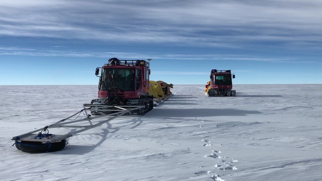
ICESat-2 will extend and improve upon NASA's 15-year record of monitoring the change in polar ice heights, which started in 2003 with the first ICESat mission and continued in 2009 with NASA’s Operation IceBridge, an airborne research campaign that monitors the accelerating rate of change.
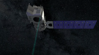
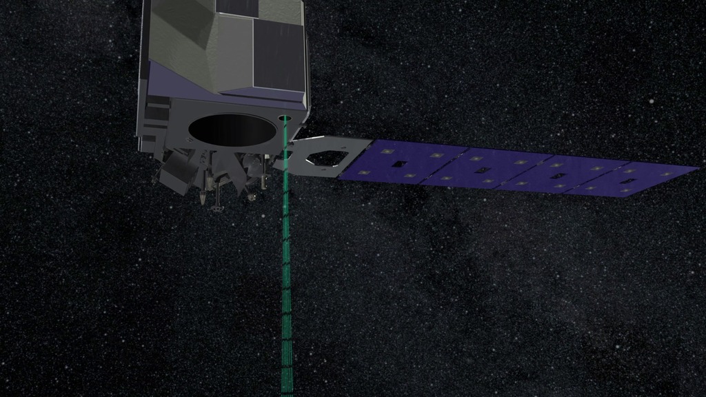
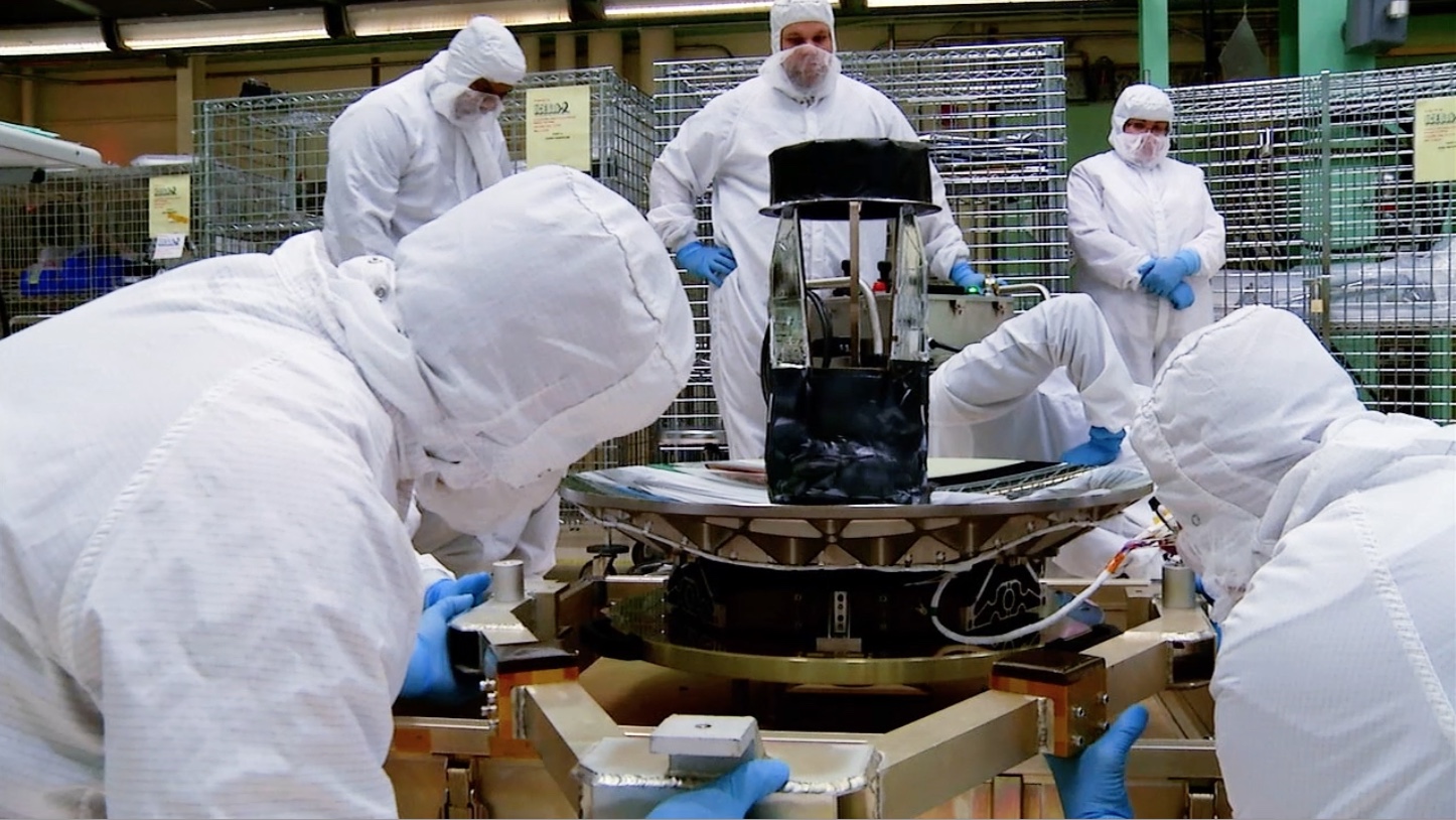
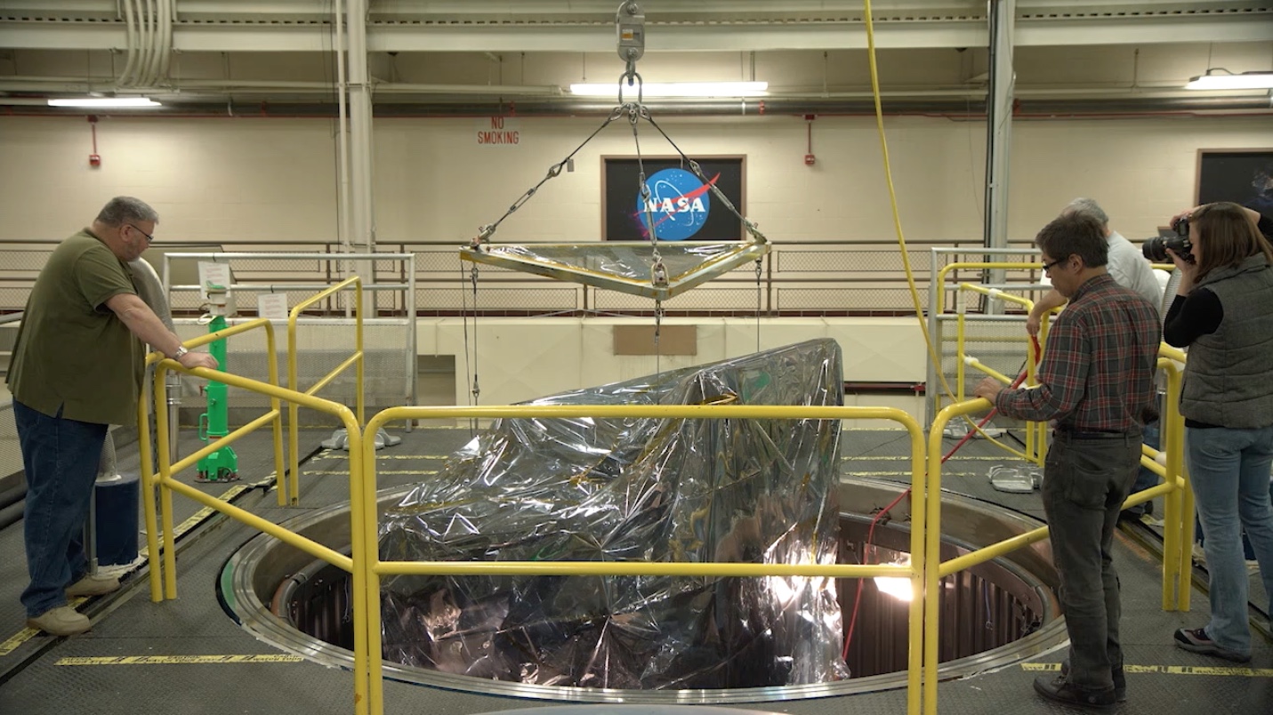
ICESat-2 represents a major technological leap in our ability to measure changes in ice height. Its Advanced Topographic Laser Altimeter System (ATLAS) measures height by timing how long it takes individual light photons to travel from the spacecraft to Earth and back.
NASA will host a media teleconference at 1 p.m. EDT Wednesday, Aug. 22, to discuss the upcoming launch of the Ice, Cloud and land Elevation Satellite (ICESat-2), which will fly NASA's most advanced laser altimeter to measure Earth’s changing ice. The teleconference will stream live on NASA's website.
ICESat-2 is scheduled to launch Sept. 15 from Vandenberg Air Force Base.
The briefing participants are:
• Tom Wagner, cryosphere program scientist in the Science Mission Directorate (SMD) at NASA Headquarters
• Richard Slonaker, ICESat-2 program executive in SMD
• Doug McLennan, ICESat-2 project manager at NASA’s Goddard Space Flight Center
• Donya Douglas-Bradshaw, Advanced Topographic Laser Altimeter System (ATLAS) instrument project manager at Goddard
• Tom Neumann, ICESat-2 deputy project scientist at Goddard
For more information:
Media Advisory
ICESat-2 Video Resources
Related
Credits
Patrick Lynch (NASA/GSFC): Lead Producer
Thomas A. Neumann Ph.D. (NASA/GSFC): Lead Scientist
Tom Wagner (NASA): Lead Scientist
Adriana Manrique Gutierrez (USRA): Lead Animator
Walt Feimer (KBR Wyle Services, LLC): Lead Animator
Chris Meaney (KBR Wyle Services, LLC): Lead Animator
Kate Ramsayer (Telophase): Lead Writer
Greg Shirah (NASA/GSFC): Lead Visualizer
Kel Elkins (USRA): Lead Visualizer
Donya Douglas Bradshaw (NASA/GSFC): scientist
Richard Lynn Slonaker (NASA/HQ): scientist
Douglas D McLennan (NASA/GSFC): scientist
Matthew R. Radcliff (USRA): Lead Editor
NASA's Goddard Space Flight Center
https://svs.gsfc.nasa.gov/13044
Mission:
Ice, Cloud, and land Elevation Satellite-2 (ICESat-2)
Keywords:
SVS >> HDTV
SVS >> Ice
SVS >> Lidar
NASA Science >> Earth
GCMD >> Earth Science >> Spectral/engineering >> Lidar
SVS >> ICESat-2
GCMD keywords can be found on the Internet with the following citation: Olsen, L.M., G. Major, K. Shein, J. Scialdone, S. Ritz, T. Stevens, M. Morahan, A. Aleman, R. Vogel, S. Leicester, H. Weir, M. Meaux, S. Grebas, C.Solomon, M. Holland, T. Northcutt, R. A. Restrepo, R. Bilodeau, 2013. NASA/Global Change Master Directory (GCMD) Earth Science Keywords. Version 8.0.0.0.0


