Earth
ID: 12958
Diarrheal diseases such as cholera continue to be a public health threat. Prediction of an outbreak of diarrheal disease, specifically cholera, following a natural disaster remains a challenge, especially in regions lacking basic safe civil infrastructure [water, sanitation and hygiene (WASH)]. The underlying mechanism of a cholera outbreak is associated with disruption in the human access to safe WASH infrastructure that results in the population using unsafe water containing pathogenic vibrios. Presence and abundance of Vibrio cholerae, the causative agent of cholera, are related to modalities of the environment and regional weather as well as the climate systems. Major cholera outbreaks occur in two dominant forms: (a) epidemic, characterized by a sudden and sporadic occurrence of a large number of cholera cases and (b) endemic, in which human cholera cases occur on annual scales with distinct and characteristic seasonality. Natural disasters characteristically leave a trail of destruction, the result of which may be a human population deprived of access to WASH infrastructure. For example, under normal circumstances, the likelihood of a cholera outbreak is low, since the human population adapts to its specific behavioral pattern of water use. However, following a natural disaster, human behavior will change, if the availability, use pattern, and storage capacity of drinking water are altered as a result of the WASH infrastructure having been severely damaged and/or rendered unusable. Forecasting a cholera risk is challenging because of the lack of data on pathogen abundance in local water systems, weather and climate patterns and existing WASH infrastructure. Vibrios, including V. cholerae are autochthonous to the natural aquatic ecosystem, hence eradication is not feasible.
Using Precipitation Data to Assess Risk of Cholera Outbreaks
A new modeling approach using satellite data will likely to enhance our ability to develop cholera risk maps in several regions of the globe. The model (GCRM) is based on monthly air temperature, precipitation, availability of WASH infrastructure, population density and severity of natural disaster. The outputs of GCRM can be visualized on 0.10x0.10, with the hope of improving the spatial scale as new data products are incorporated into the model.
Source Material

For More Information
Credits
Ryan Fitzgibbons (USRA): Lead Producer
Trent L. Schindler (USRA): Lead Data Visualizer
Dalia B Kirschbaum (NASA/GSFC): Scientist
Rob Andreoli (Advocates in Manpower Management, Inc.): Lead Videographer
John Caldwell (Advocates in Manpower Management, Inc.): Lead Videographer
Ryan Fitzgibbons (USRA): Lead Editor
Antarpreet Jutla (West Virginia University): Scientist
Rita Colwell (University of Maryland College Park): Scientist
Antarpreet Jutla (West Virginia University): Scientific Data Support
Please give credit for this item to:
NASA's Goddard Space Flight Center
NASA's Goddard Space Flight Center
Science Paper:
https://www.ncbi.nlm.nih.gov/pubmed/28749774
Short URL to share this page:
https://svs.gsfc.nasa.gov/12958
Mission:
Global Precipitation Measurement (GPM)
This item is part of this series:
Narrated Movies
Keywords:
DLESE >> Atmospheric science
SVS >> HDTV
GCMD >> Earth Science >> Atmosphere >> Precipitation
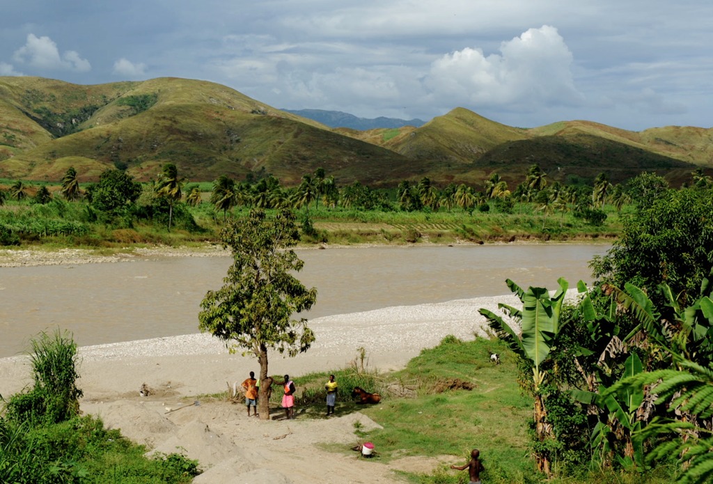
GCMD >> Location >> Bangladesh
GCMD >> Location >> Haiti
GCMD >> Location >> Yemen
NASA Science >> Earth
GCMD >> Earth Science >> Human Dimensions >> Public Health >> Diseases/epidemics
SVS >> Cholera
GCMD keywords can be found on the Internet with the following citation: Olsen, L.M., G. Major, K. Shein, J. Scialdone, S. Ritz, T. Stevens, M. Morahan, A. Aleman, R. Vogel, S. Leicester, H. Weir, M. Meaux, S. Grebas, C.Solomon, M. Holland, T. Northcutt, R. A. Restrepo, R. Bilodeau, 2013. NASA/Global Change Master Directory (GCMD) Earth Science Keywords. Version 8.0.0.0.0
https://www.ncbi.nlm.nih.gov/pubmed/28749774
Short URL to share this page:
https://svs.gsfc.nasa.gov/12958
Mission:
Global Precipitation Measurement (GPM)
This item is part of this series:
Narrated Movies
Keywords:
DLESE >> Atmospheric science
SVS >> HDTV
GCMD >> Earth Science >> Atmosphere >> Precipitation
GCMD >> Location >> Bangladesh
GCMD >> Location >> Haiti
GCMD >> Location >> Yemen
NASA Science >> Earth
GCMD >> Earth Science >> Human Dimensions >> Public Health >> Diseases/epidemics
SVS >> Cholera
GCMD keywords can be found on the Internet with the following citation: Olsen, L.M., G. Major, K. Shein, J. Scialdone, S. Ritz, T. Stevens, M. Morahan, A. Aleman, R. Vogel, S. Leicester, H. Weir, M. Meaux, S. Grebas, C.Solomon, M. Holland, T. Northcutt, R. A. Restrepo, R. Bilodeau, 2013. NASA/Global Change Master Directory (GCMD) Earth Science Keywords. Version 8.0.0.0.0


