Earth
ID: 12344
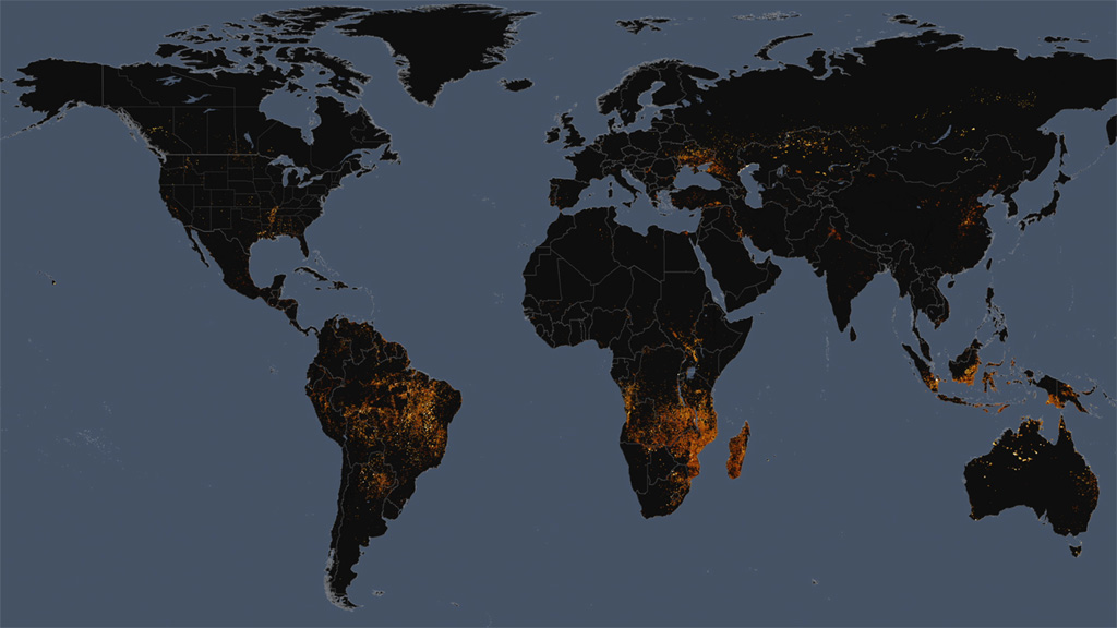
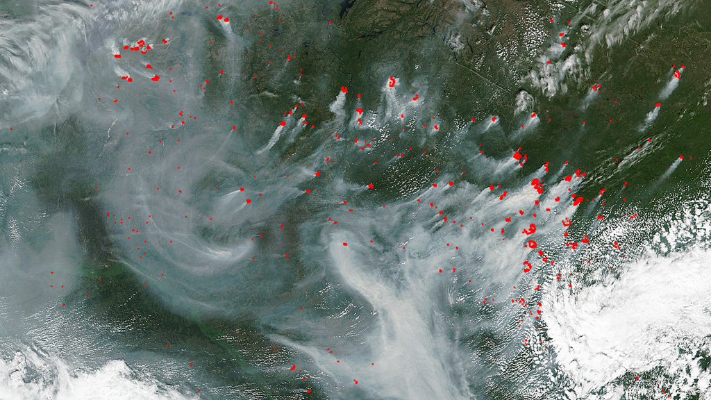
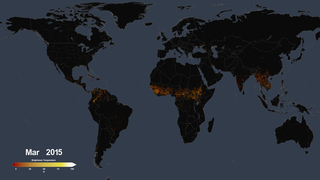
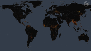
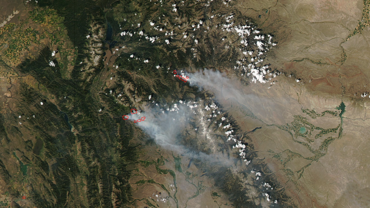
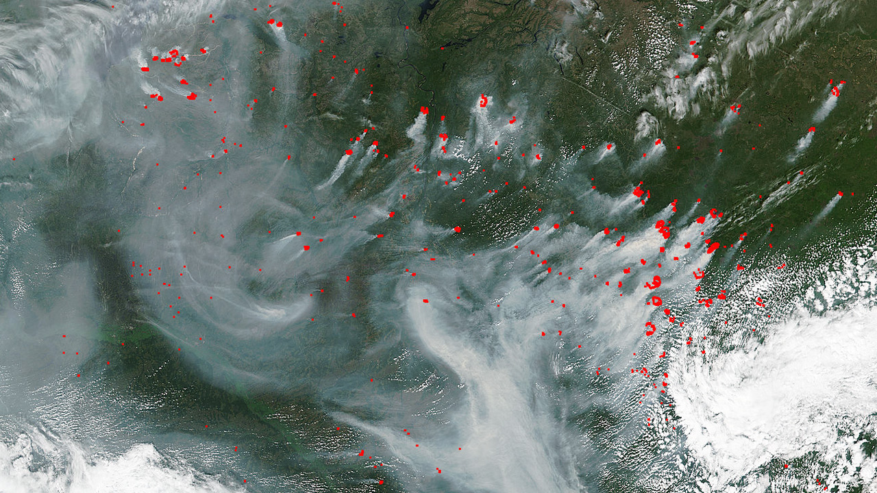
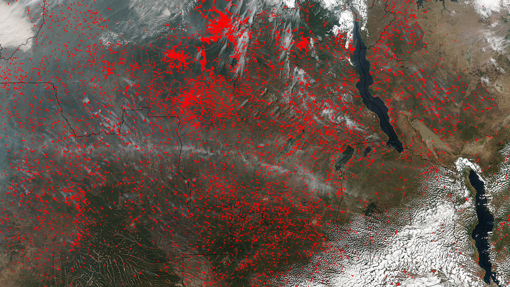
The 2016 wildfire season is off to a blazing start. To date, more than 29,000 wildfires have burned over 2.6 million acres in the United States alone. In other parts of the world, hot and dry conditions fueled by El Niño have primed places like the southern Amazon for heavy wildfire activity. Scientists say the region is the driest it’s been in more than a decade. Using data collected by satellites, NASA monitors fires across the globe. The space-based views of actively burning fires help fire managers on the ground locate potentially hazardous blazes. The observations also aid researchers in tracking the spread of smoke and ash from fires, which can significantly impact air quality. Watch the video to see a data visualization showing fires detected from space over the course of a year.


World On Fire
Source Material
Story Credits
Lead Visualizer/Animator:
Trent L. Schindler (USRA)
Visualizer/Animator:
Lori Perkins (NASA/GSFC)
Lead Producer:
Claire Saravia (NASA/GSFC)
Producers:
Matthew R. Radcliff (USRA)
Patrick Lynch (Wyle Information Systems)
Lead Writer:
Claire Saravia (NASA/GSFC)
Trent L. Schindler (USRA)
Visualizer/Animator:
Lori Perkins (NASA/GSFC)
Lead Producer:
Claire Saravia (NASA/GSFC)
Producers:
Matthew R. Radcliff (USRA)
Patrick Lynch (Wyle Information Systems)
Lead Writer:
Claire Saravia (NASA/GSFC)
Please give credit for this item to:
NASA's Scientific Visualization Studio
Satellite images courtesy of NASA/MODIS Rapid Response Team/J. Schmaltz
NASA's Scientific Visualization Studio
Satellite images courtesy of NASA/MODIS Rapid Response Team/J. Schmaltz
Short URL to share this page:
https://svs.gsfc.nasa.gov/12344
Keywords:
SVS >> Astrophysics
SVS >> App
NASA Science >> Earth
https://svs.gsfc.nasa.gov/12344
Keywords:
SVS >> Astrophysics
SVS >> App
NASA Science >> Earth


