Earth
ID: 10812
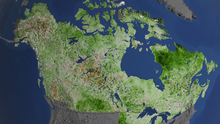
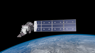
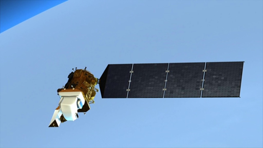
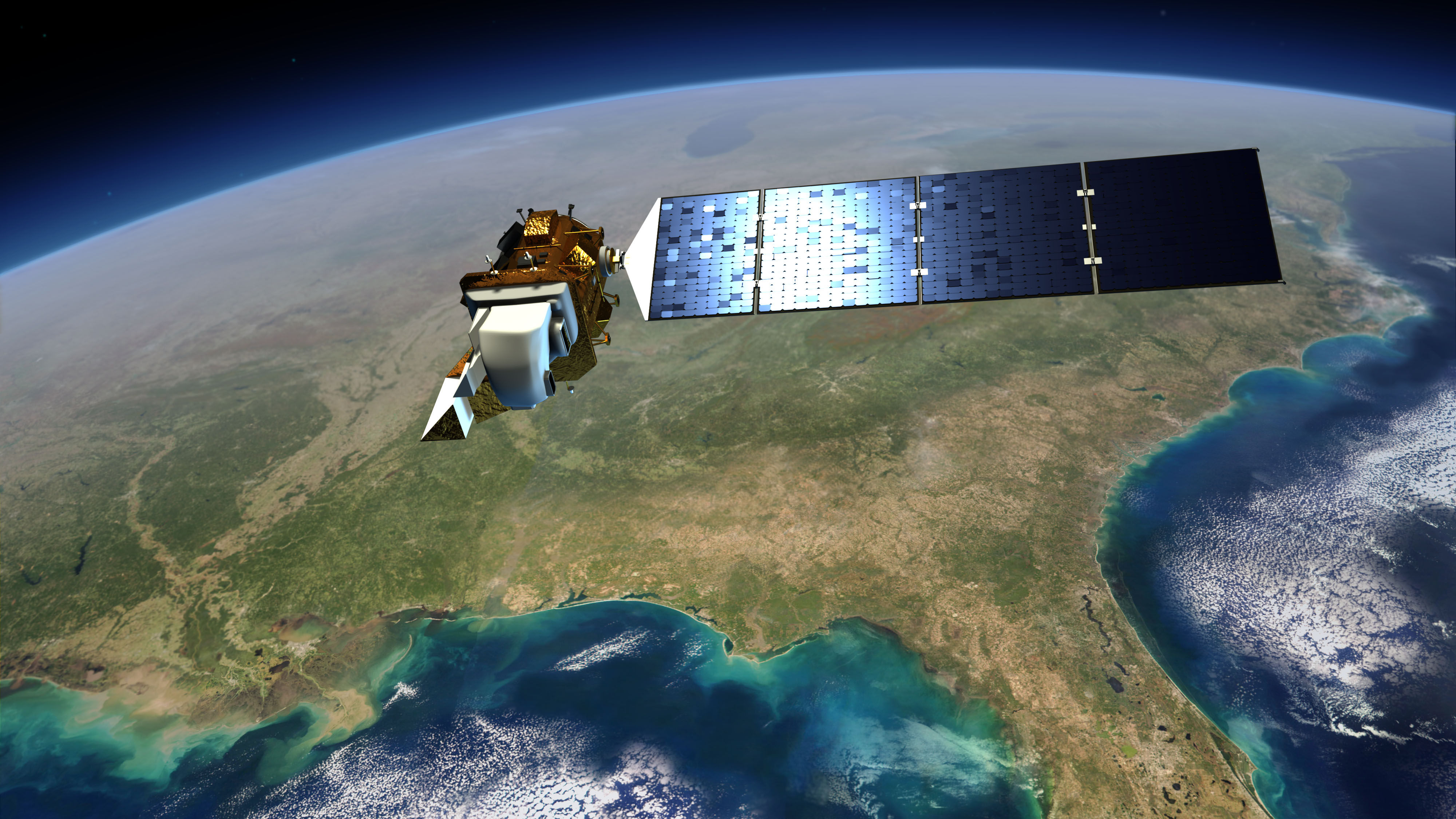
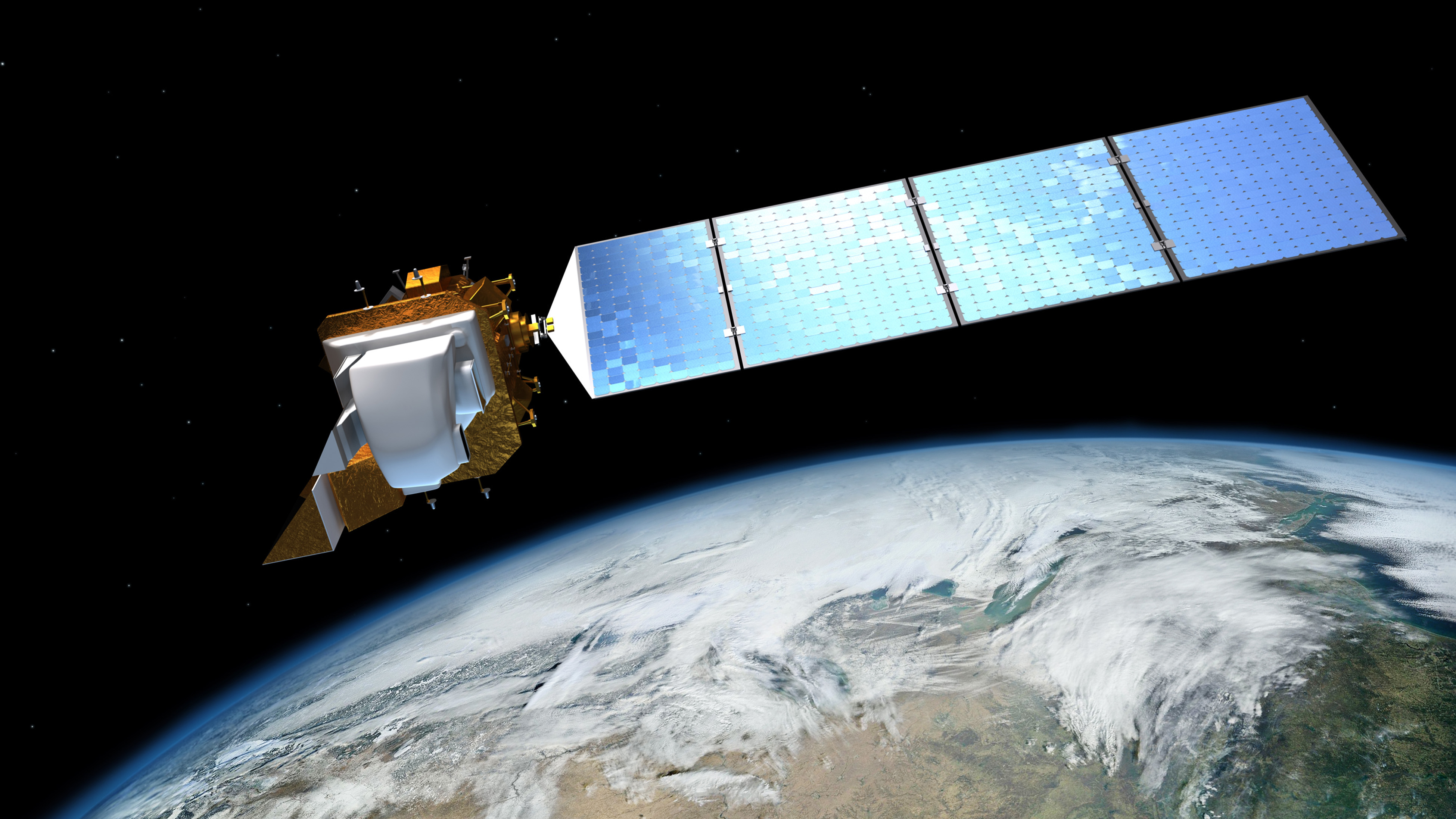
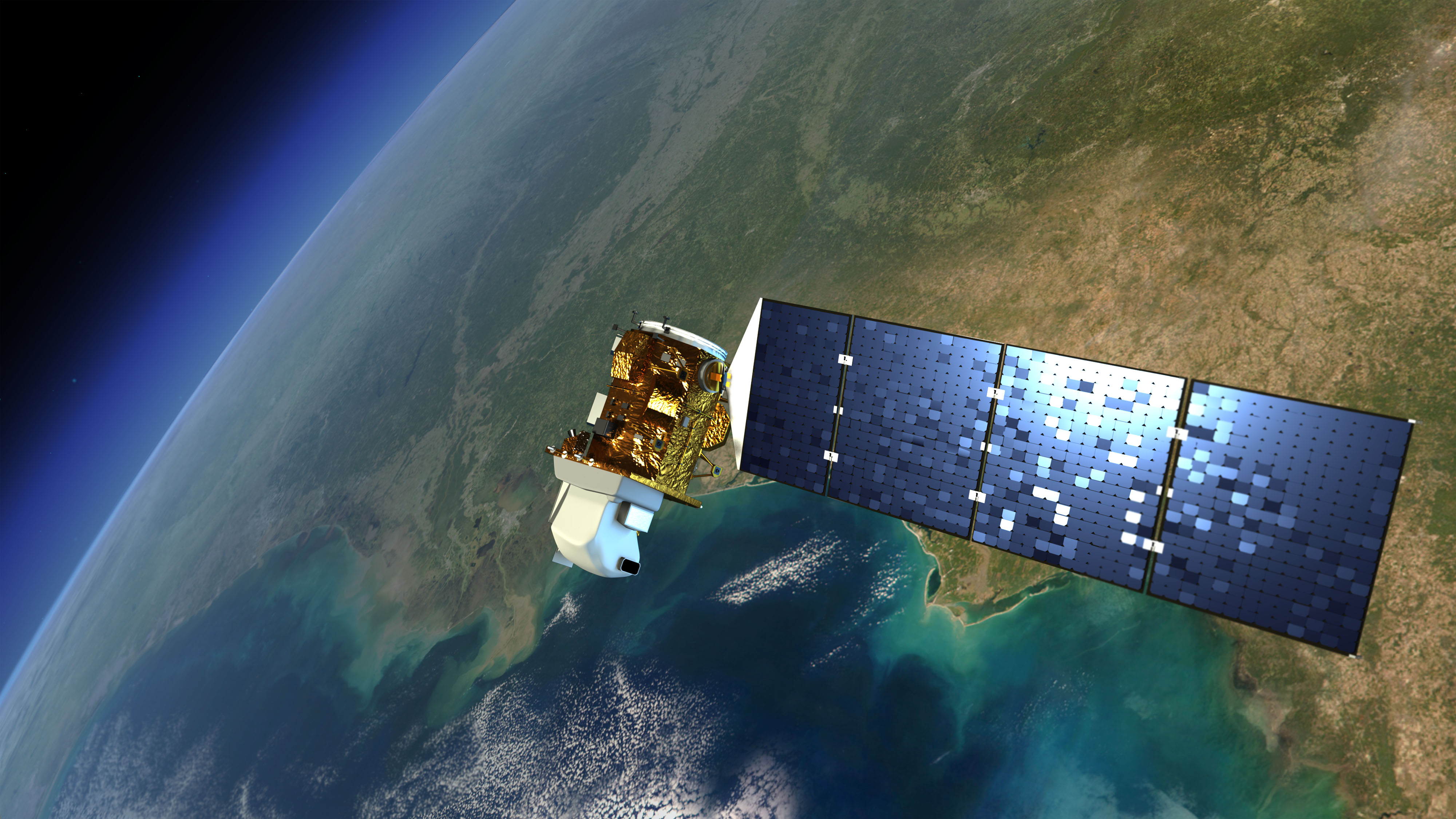
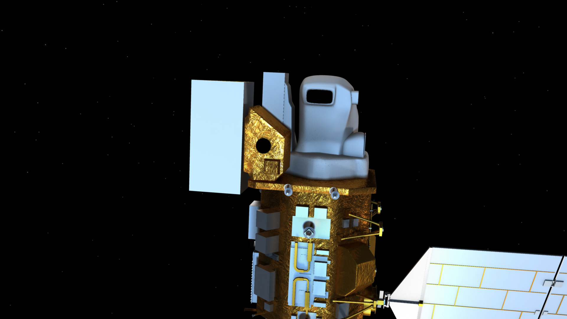
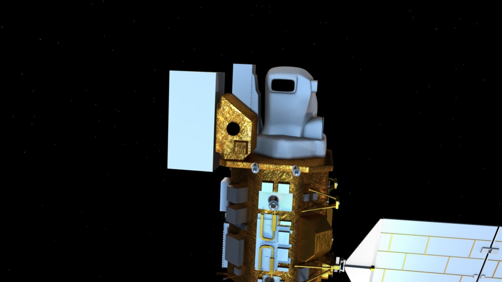
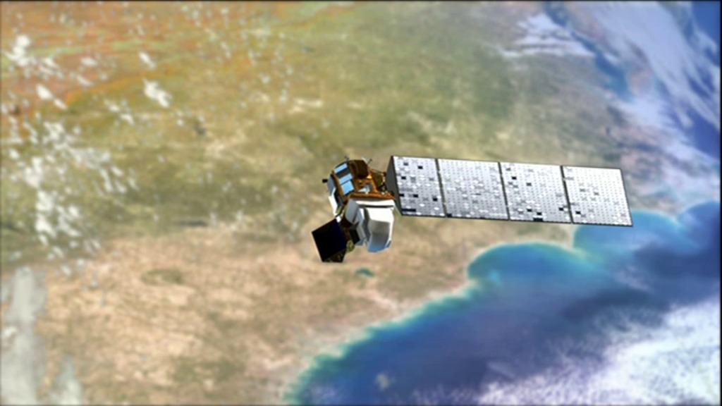
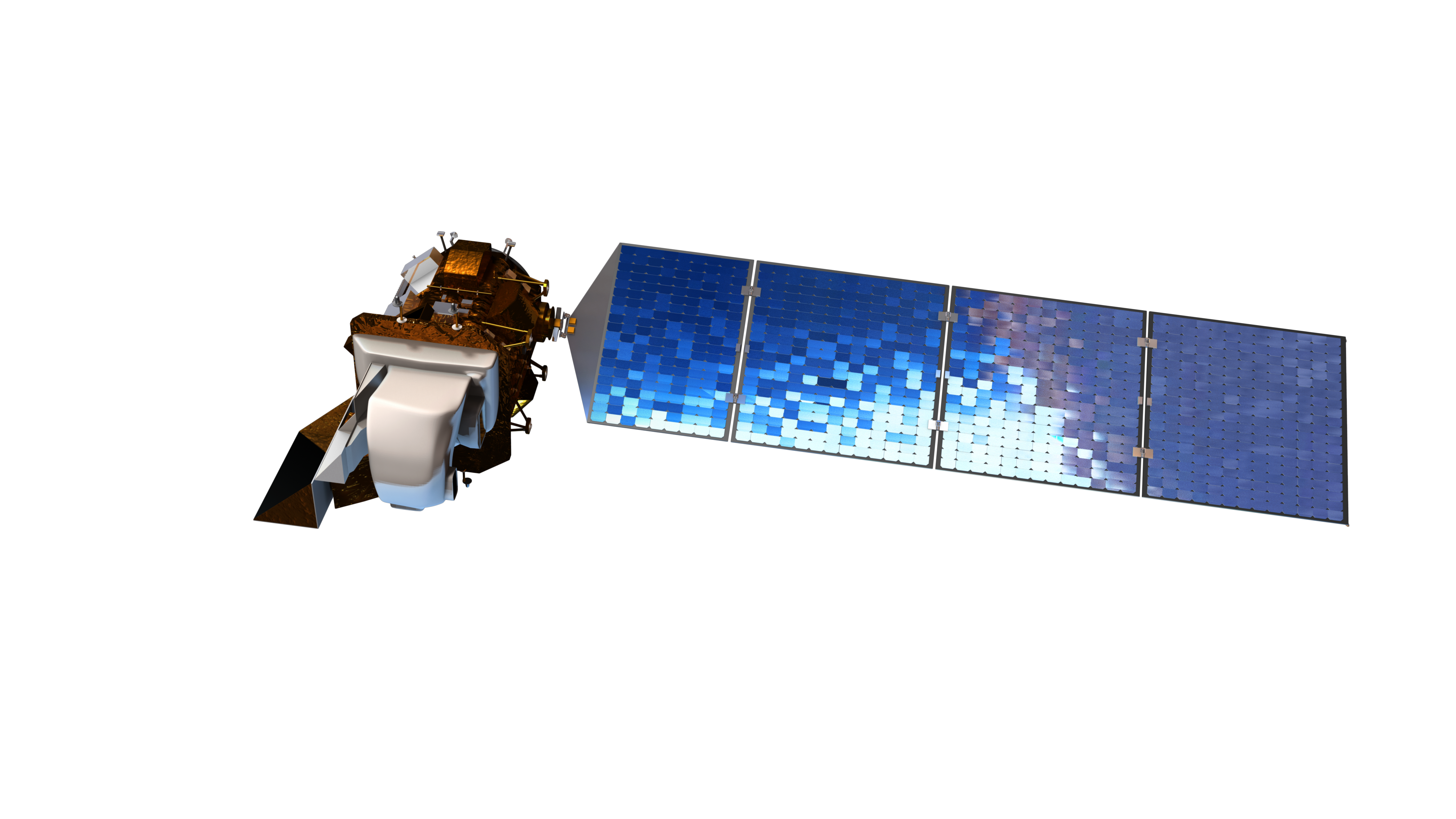
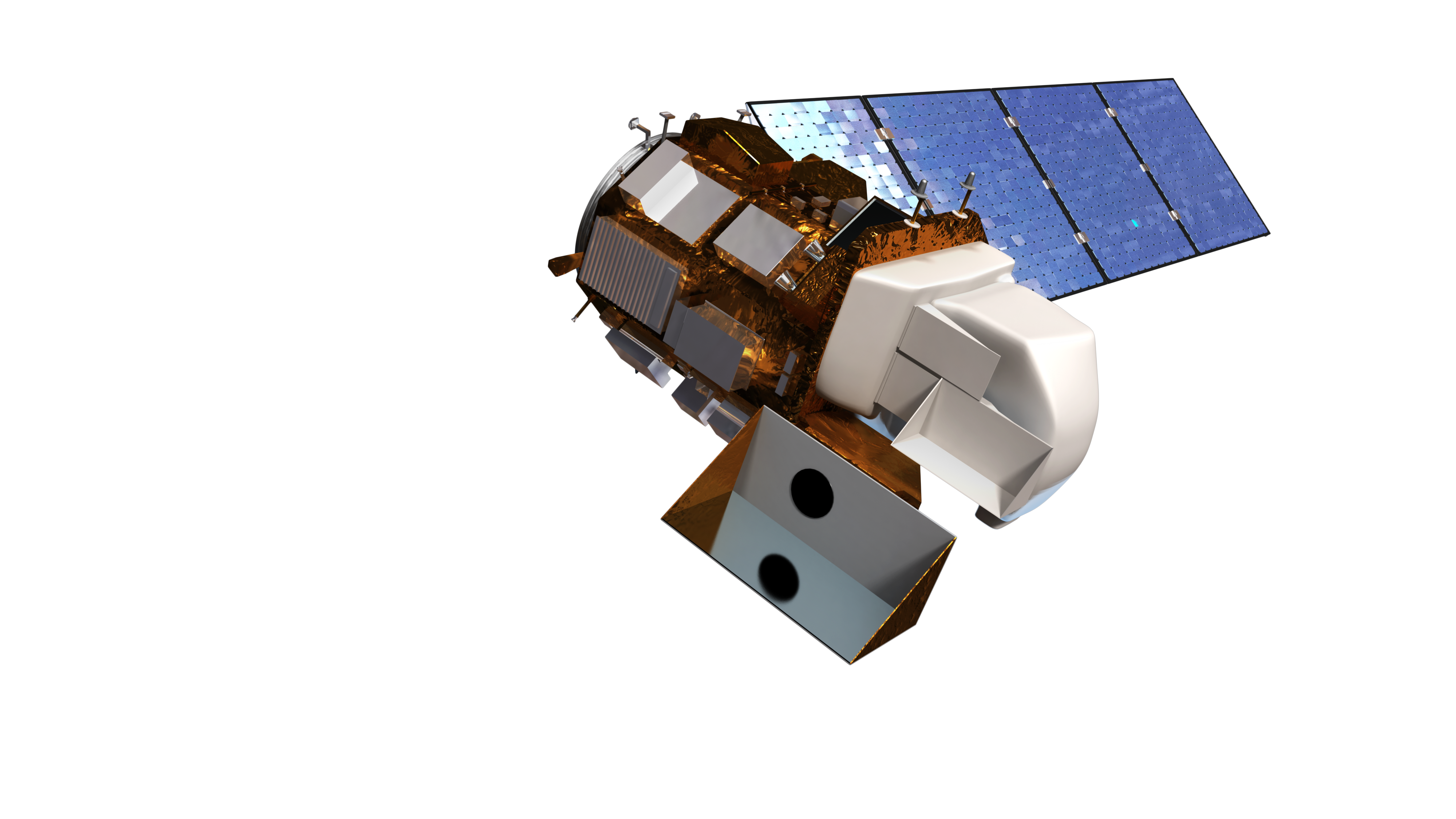
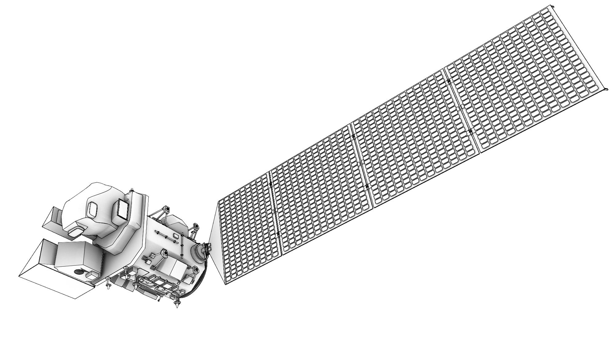
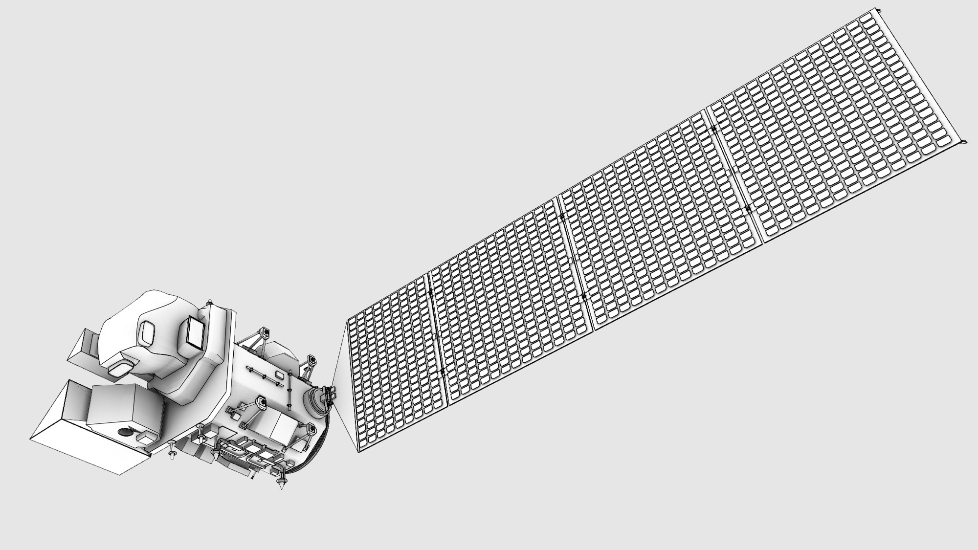
Landsat 8 (formerly known as LDCM, the Landsat Data Continuity Mission), a collaboration between NASA and the U.S. Geological Survey, will provide moderate-resolution (15 meter - 100 meter, depending on spectral frequency) measurements of the Earth's terrestrial and polar regions in the visible, near-infrared, short wave infrared, and thermal infrared. There are two instruments on the spacecraft, the Thermal InfraRed Sensor (TIRS) and the Operational Land Imager (OLI).
Landsat 8 continues the nearly 50-year long Landsat land imaging data set. In addition to widespread routine use for land use planning and monitoring on regional to local scales, support of disaster response and evaluations, and water use monitoring, Landsat 8 measurements directly serve NASA research in the focus areas of climate, carbon cycle, ecosystems, water cycle, biogeochemistry, and Earth surface/interior.


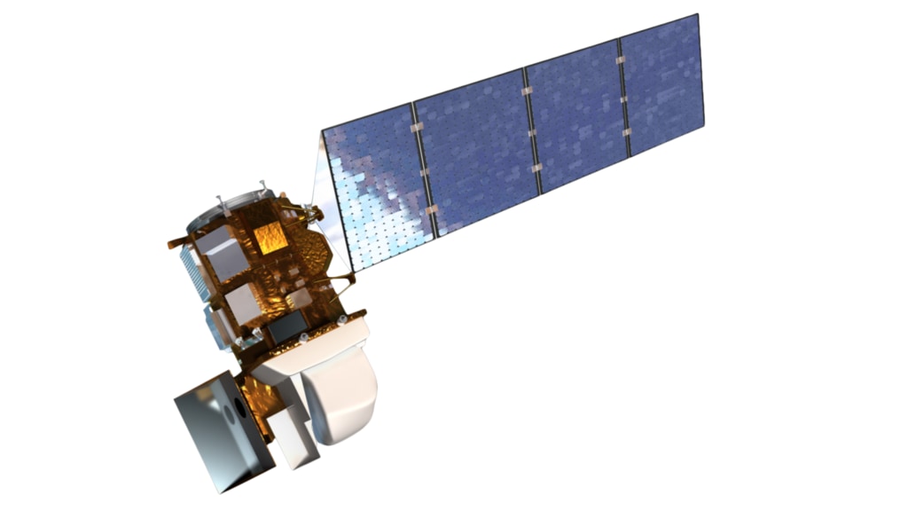
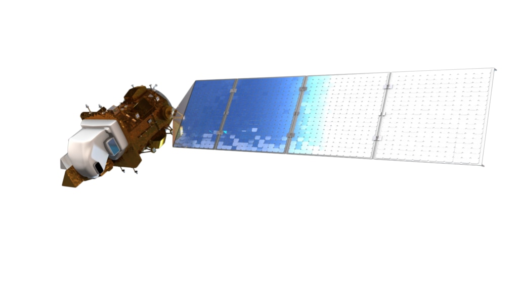
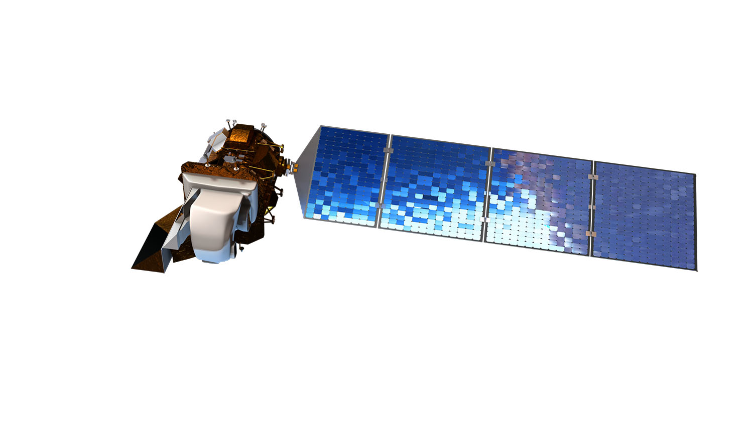
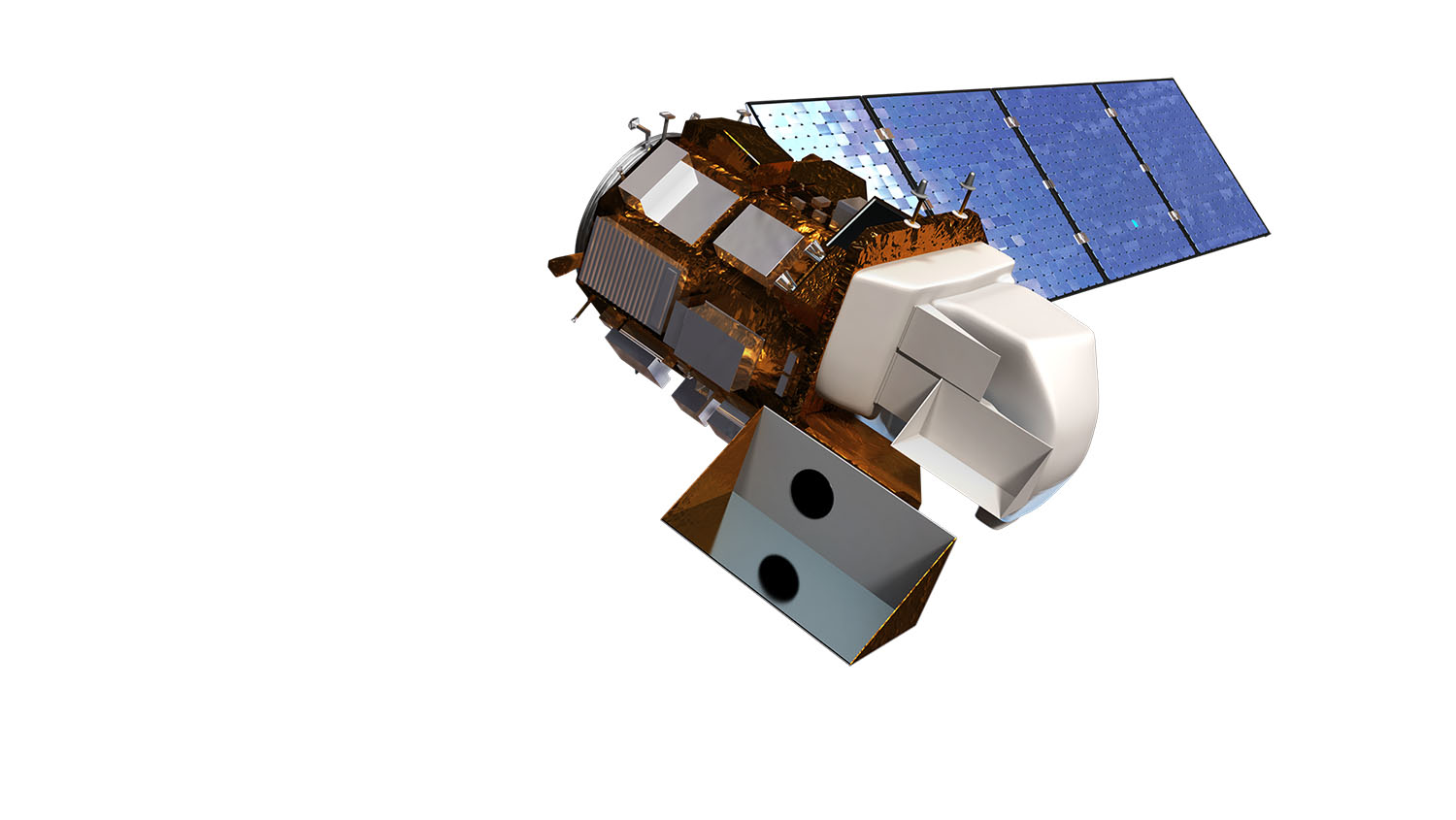

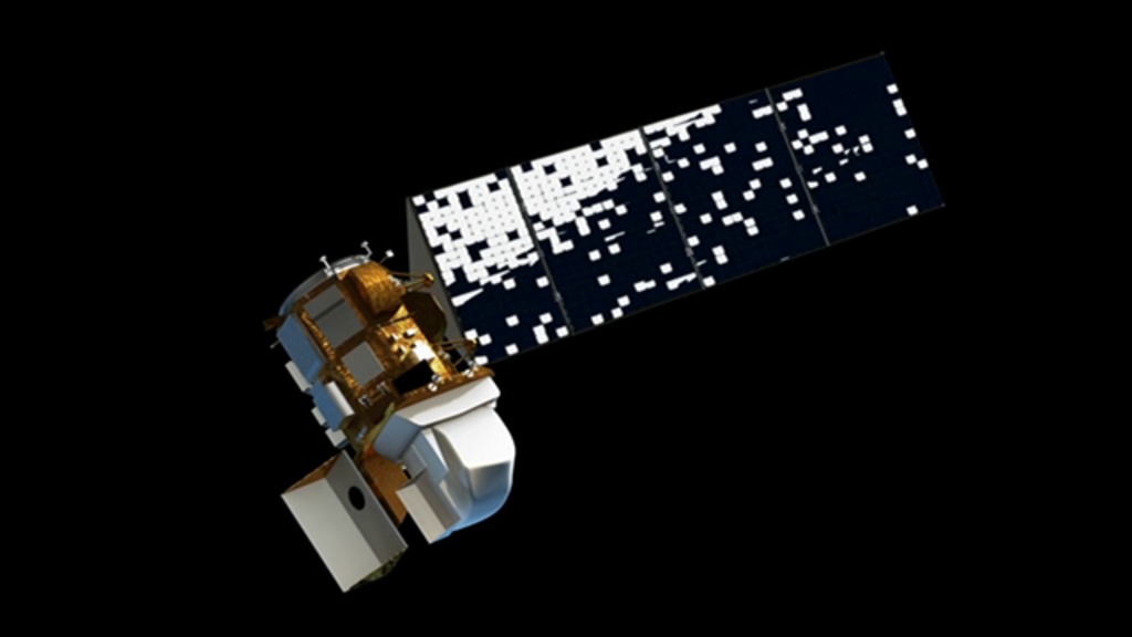
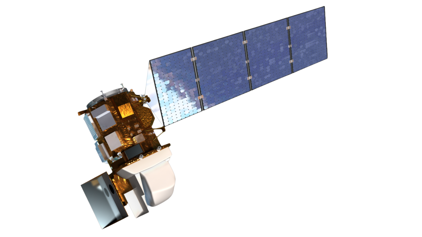
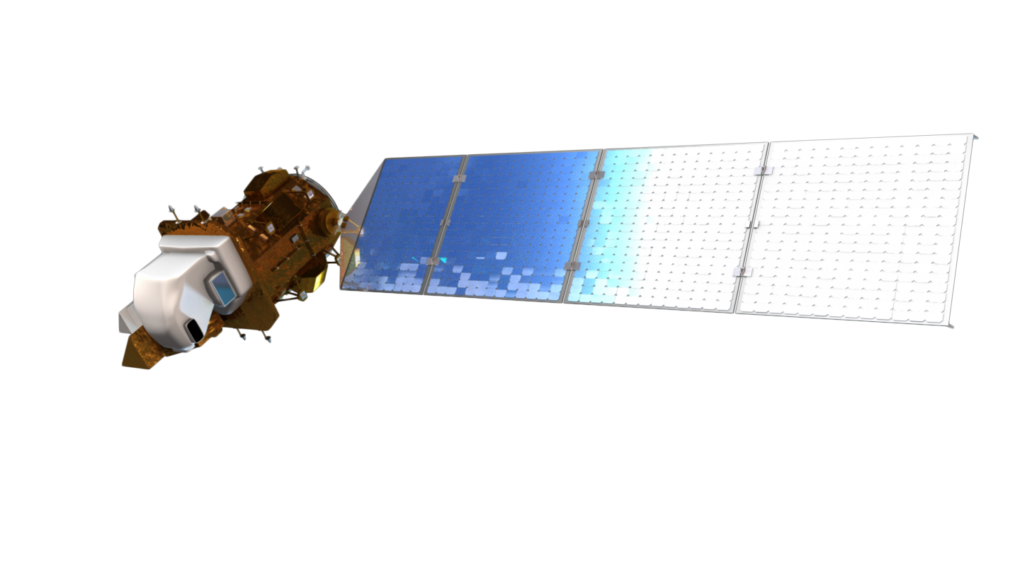
Landsat 8 (aka LDCM) Spacecraft Animations and Still Images
There is a newer version of this story located here: https://svs.gsfc.nasa.gov/13259
Landsat 8 continues the nearly 50-year long Landsat land imaging data set. In addition to widespread routine use for land use planning and monitoring on regional to local scales, support of disaster response and evaluations, and water use monitoring, Landsat 8 measurements directly serve NASA research in the focus areas of climate, carbon cycle, ecosystems, water cycle, biogeochemistry, and Earth surface/interior.
Used Elsewhere In

Newer Version
Credits
Rachel Kreutzinger (USRA): Lead Animator
Matthew R. Radcliff (USRA): Producer
James R. Irons (NASA/GSFC): Scientist
Tyler Chase (USRA): Animator
Matthew R. Radcliff (USRA): Producer
James R. Irons (NASA/GSFC): Scientist
Tyler Chase (USRA): Animator
Please give credit for this item to:
NASA/Goddard Space Flight Center Conceptual Image Lab
The Landsat Program is a series of Earth-observing satellite missions jointly managed by NASA and the U.S. Geological Survey.
NASA/Goddard Space Flight Center Conceptual Image Lab
The Landsat Program is a series of Earth-observing satellite missions jointly managed by NASA and the U.S. Geological Survey.
Short URL to share this page:
https://svs.gsfc.nasa.gov/10812
Missions:
Landsat
Landsat 8
This item is part of this series:
Landsat
Keywords:
SVS >> HDTV
SVS >> Landsat
SVS >> Satellite
SVS >> Earth >> Satellites >> Earth Observing Fleet
NASA Science >> Earth
SVS >> TIRS
https://svs.gsfc.nasa.gov/10812
Missions:
Landsat
Landsat 8
This item is part of this series:
Landsat
Keywords:
SVS >> HDTV
SVS >> Landsat
SVS >> Satellite
SVS >> Earth >> Satellites >> Earth Observing Fleet
NASA Science >> Earth
SVS >> TIRS


