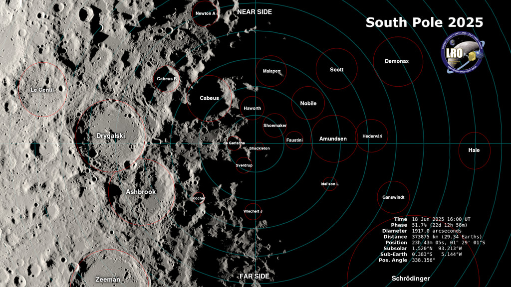
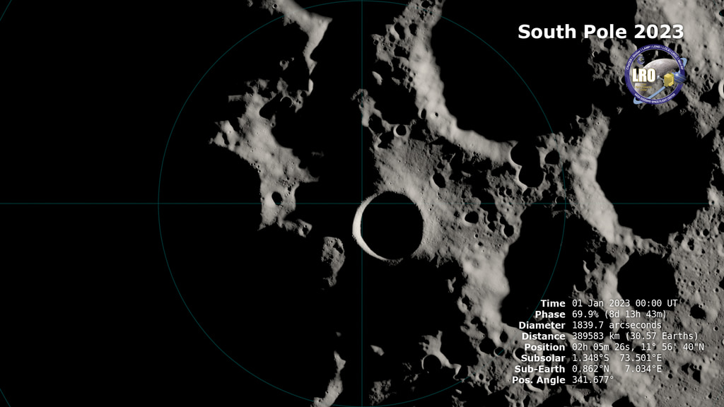
The Sun's Path at Different Lunar Latitudes
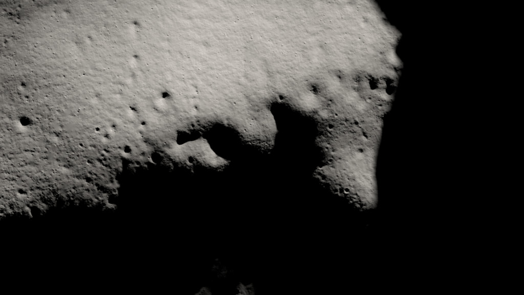
The path of the Sun in the lunar sky is shown at four latitudes, including the South Pole. An arrow points toward the Sun. Annotations include the subsolar longitude and the elapsed time in Earth days.
On both the Earth and the Moon, the apparent path of the Sun in the sky during the day depends on the observer's latitude. At most latitudes, the Sun rises above the eastern horizon in the morning, arcs through the sky toward a peak altitude at local noon, then sinks below the western horizon in the evening, the only difference being the steepness of the arc. The Sun's apparent motion at the poles is markedly different, particularly on the Moon, which is tilted only 1.5° relative to the Sun.
This visualization compares Sun views from four latitudes on the Moon over the course of a lunar day. The two views in the upper half of the frame are from Apollo landing sites. The lower left shows a latitude much higher than any Apollo landing, while the lower right is the view from the South Pole, where rather than rising and setting, the Sun travels in a complete circle, skimming low over the horizon. The yellow arrow points toward the Sun, locating it even when it's hidden below the horizon or outside the image frame. The sidebar shows the direction of the Sun's rays in a view from Earth, as well as the elapsed time in Earth days.
Credits
Please give credit for this item to:
NASA's Scientific Visualization Studio
-
Visualizer
- Ernie Wright (USRA)
-
Scientist
- Jacob Bleacher (NASA/GSFC)
-
Technical support
- Laurence Schuler (ADNET Systems, Inc.)
- Ian Jones (ADNET Systems, Inc.)
Release date
This page was originally published on Wednesday, October 5, 2022.
This page was last updated on Monday, January 6, 2025 at 12:27 AM EST.
Missions
This page is related to the following missions:Series
This page can be found in the following series:Datasets used
-
DEM (Digital Elevation Map) [LRO: LOLA]
ID: 653 -
DE421 (JPL DE421)
ID: 752Planetary ephemerides
This dataset can be found at: http://ssd.jpl.nasa.gov/?ephemerides#planets
See all pages that use this dataset -
SLDEM2015 (DIgital Elevation Model) [LRO/SELENE: LOLA/TC]
ID: 948A digital elevation model of the Moon derived from the Lunar Orbiter Laser Altimeter and the SELENE Terrain Camera. See the description in Icarus. The data is here.
See all pages that use this dataset -
LROC WAC Color Mosaic (Natural Color Hapke Normalized WAC Mosaic) [Lunar Reconnaissance Orbiter: LRO Camera]
ID: 1015This natural-color global mosaic is based on the 'Hapke normalized' mosaic from LRO's wide-angle camera. The data has been gamma corrected, white balanced, and range adjusted to more closely match human vision.
See all pages that use this dataset
Note: While we identify the data sets used on this page, we do not store any further details, nor the data sets themselves on our site.
Related
- ID: 5027
- ID: 4930
 Visualization
 - ID: 4893
 Visualization