BedMachine: A high-precision map of Antarctic ice sheet bed topography
BedMachine is a new Antarctic bed topography product based on ice thickness data from 19 different research institutes dating back to 1967, encompassing nearly a million line-miles of radar soundings. BedMachine relies on the fundamental physics-based method of mass conservation to estimate what lies between the radar sounding lines, utilizing highly detailed information on ice flow motion from satellite data that dictates how ice moves. The dataset is available from the National Snow & Ice Data Center here.
This animation displays seven glacial regions around Antarctica, first showing the surface topography followed by the bed topography. The regions examined include the Thwaites, Byrd, David, Ninnis, Denman and Recovery glaciers as well as the West Ragnhild ice stream.
This video is also available on our YouTube channel.

This is an image of the bed topography under the Ninnis Glacier in Antarctica colored by the elevation. Areas below sea level are colored in shades of blue while areas above sea level are colored in green, yellow and brown.
This is an image of the bed topography under the Denman Glacier in Antarctica colored by the elevation. Areas below sea level are colored in shades of blue while areas above sea level are colored in green, yellow and brown.
This is an image of the bed topography under the Recovery Glacier in Antarctica colored by the elevation. Areas below sea level are colored in shades of blue while areas above sea level are colored in green, yellow and brown.
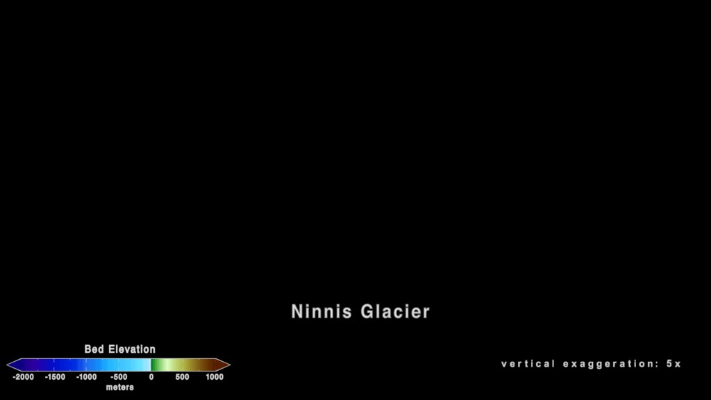
The overlay with the colorbar, glacier names and exaggeration with transparency
The surface topography in OpenExr format.
(Note: These frame sets were converted to the sRGB color space on 6/16/2020)
The topographic bed in OpenExr format.
(Note: These frame sets were converted to the sRGB color space on 6/16/2020)
Credits
Please give credit for this item to:
NASA's Scientific Visualization Studio
-
Visualizers
- Cindy Starr (Global Science and Technology, Inc.)
- Greg Shirah (NASA/GSFC)
-
Scientists
- Mathieu Morlighem (University of California, Irvine)
- Eric J. Rignot (NASA/JPL CalTech)
- Tobias Binder (Alfred Wegener Institute Helmholtz Centre for Polar and Marine Research)
- Donald D. Blankenship (Institute for Geophysics, University of Texas at Austin)
- Reinhard Drews (University of Tübingen)
- Graeme Eagles (Alfred Wegener Institute Helmholtz Centre for Polar and Marine Research)
- Olaf Eisen (Alfred Wegener Institute Helmholtz Centre for Polar and Marine Research/University of Bremen)
- Fausto Ferraccioli (British Antarctic Survey)
- Rene Forsberg (Technical University of Denmark)
- Peter Fretwell (British Antarctic Survey)
- Vikram Goel (National Centre for Polar and Ocean Research, India)
- Jamin S. Greenbaum (University of Texas at Austin)
- Hilmar Gudmundsson (Northumbria University)
- Jingxue Gu (Polar Research Institute of China)
- Veit Helm (Alfred Wegener Institute Helmholtz Centre for Polar and Marine Research)
- Coen Hofstede (Alfred Wegener Institute Helmholtz Centre for Polar and Marine Research)
- Ian Howat (Ohio State University)
- Angelika Humbert (Alfred Wegener Institute Helmholtz Centre for Polar and Marine Research/University of Bremen)
- Wilfried Jokat (Alfred Wegener Institute)
- Nanna B. Karlsson (Alfred Wegener Institute Helmholtz Centre for Polar and Marine Research/University of Bremen)
- Kenichi Matsuoka (Norwegian Polar Institute)
- Romain Millan (University of California, Irvine)
- Jeremie Mouginot (University of California, Irvine)
- John Paden (University of Kansas)
- Frank Pattyn (Université libre de Bruxelles)
- Jasen Roberts (Australian Antarctic Division/Antarctic Climate & Ecosystems Cooperative Research Centre/Institute for Marine and Antarctic Studies, University of Tasmania)
- Sebastian Rosier (Northumbria University)
- Antonia Ruppel (Federal Institute for Geosciences and Natural Resources, Germany)
- Helene Seroussi (NASA/JPL CalTech)
- Emma C. Smith (Alfred Wegener Institute Helmholtz Centre for Polar and Marine Research)
- Daniel Steinhage (Alfred Wegener Institute)
- Won Sang Lee (Korea Polar Research Institute, South Korea)
- Bo Sun (Polar Research Institute of China)
- Michiel R. van den Broeke (Utrecht University)
- Tas D. Van Ommen (Australian Antarctic Division/Antarctic Climate & Ecosystems Cooperative Research Centre/Institute for Marine and Antarctic Studies, University of Tasmania)
- Duncan A. Young (Institute for Geophysics, University of Texas)
- Melchior Van Wessem (Utrecht University)
-
Project support
- Leann Johnson (Global Science and Technology, Inc.)
- Wei Hao (Global Science and Technology, Inc.)
-
Technical support
- Ian Jones (ADNET Systems, Inc.)
- Laurence Schuler (ADNET Systems, Inc.)
Release date
This page was originally published on Thursday, December 12, 2019.
This page was last updated on Wednesday, November 15, 2023 at 12:14 AM EST.
Papers used in this visualization
Morlighem M. et al., (2019), Deep glacial troughs and stabilizing ridges unveiled beneath the margins of the Antarctic ice sheet, Nature Geoscience, doi: 10.1038/s41561-019-0510-8 ( https://doi.org/10.1038/s41561-019-0510-8 )
Datasets used in this visualization
-
BMNG (Blue Marble: Next Generation) [Terra and Aqua: MODIS]
ID: 508Credit: The Blue Marble data is courtesy of Reto Stockli (NASA/GSFC).
This dataset can be found at: http://earthobservatory.nasa.gov/Newsroom/BlueMarble/
See all pages that use this dataset -
MEaSUREs BedMachine Antarctica
ID: 1065Part of the NASA Making Earth System Data Records for Use in Research Environments (MEaSUREs) program, contains a bed topography/bathymetry map of Antarctica based on mass conservation, streamline diffusion, and other methods. The data set also includes ice thickness, surface elevation, an ice/ocean/land mask, ice thickness estimation errors, and a map showing where each method was utilized.
This dataset can be found at: https://nsidc.org/data/nsidc-0756
See all pages that use this dataset
Note: While we identify the data sets used in these visualizations, we do not store any further details, nor the data sets themselves on our site.