JPSS Multi Mission Concept of Operations
The purpose of this visualization is to aid in establishing a shared understanding about key concepts, complexities, and unique features of a multi-mission JPSS. Our approach to achieving this goal for the visualization is to introduce and build on a sequence of key concepts i.e. orbit, observation, communication, and constellation. Each is presented as a short episode that tells a JPSS concept of operations (ConOPs) “story” when shown in sequence.
Narration by Robert Harberts (GST)
Complete transcript available.
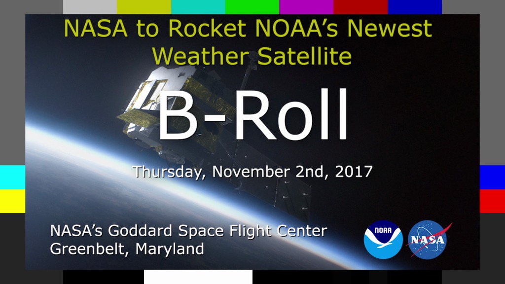
NOAA has partnered with NASA to implement the Joint Polar Satellite System (JPSS). The JPSS Program constitutes the next series of U.S. civilian polar orbiting environmental remote sensing satellites and sensors that have been flown historically on polar satellites. These satellites will implement NOAA’s requirements for collection of global multi-spectral radiometry and other specialized meteorological and oceanographic data, via remote sensing of land, sea, and the atmosphere. These data will support NOAA’s mission for continuous observations of the Earth’s environment necessary to understand and predict changes in weather, climate, oceans and coasts, which support the Nation’s economy, and protect lives and property. The JPSS-1 through JPSS-4 satellite series provides operational continuity of satellite-based observations and products from NOAA’s POES and S-NPP satellites.
The JPSS Program includes:
• A Flight Segment including the Suomi National Polar-orbiting Partnership (S-NPP), JPSS-1, and JPSS-⅔/4 satellites and launch vehicles;
• A Ground Segment consisting of ground station assets, networks, command, control, communications, product generation and distribution, and facilities; and
• All science-related activity, including algorithm development and maintenance, and instrument and data product calibration and validation.
The JPSS Multi-Mission System supplements other largely independent programs/systems whose data products and services are interconnected via the JPSS Ground Segment to increase across-the-board capabilities. In this synergistic way, JPSS satisfies NOAA requirements by utilizing both domestic and international partner assets, including, but not limited to, EUMETSAT’s Metop and EPS-SG satellites, and JAXA’s GCOM satellites.
To learn more about JPSS, visit http://www.jpss.noaa.gov/
Complete visualization (Orbit, Collection, Communication, Constellations) - no narration.
This video is also available on our YouTube channel.
Orbit – view of S-NPP in orbit introducing what a 1325 LTAN and sun-synchronous orbit means (using planes of reference, animation, and different space-based perspectives). Demonstrate insertion of a J-series mission into the LTAN orbital plane and what along-track separation between satellites mean.
Observations – demonstrate how observations and data are taken from the imager and sounder instruments from orbit, explain ground tracks, swaths, coverage, and 14 day repeat cycle.
Communications – demonstrate how observational instrument data will be downloaded to earth via North and South polar contacts. Demonstrate the hybrid communication mode using North Pole and TDRSS contacts illustrating the orbital complexities of JPSS in-view contacts with TDRSS and relayed data to White Sands NM.
Subset of communications clip above showing communications with polar stations
Constellation – demonstrate two JPSS missions orbiting in conjunction with other orbiting NASA, NOAA, international, and US military missions.

JPSS Print Still - JPSS orbit plane with notation describing orbit LTAN of 13:25
JPSS Print Still - JPSS orbit plane with notation describing orbit inclination of 98.69 degrees.
JPSS Print Still - Top down view of Earth rotating around the Sun, while sun-synchronous orbit remains fixed relative to sun vector.
JPSS Print Still - JPSS1 is introduced at a half orbit separation from SNPP.
JPSS Print Still - JPSS1's imaging instrument collects data
JPSS Print Still - JPSS1's sounder (blue) and imager (green) instruments collect data.
JPSS Print Still - JPSS1's sounder (blue) and imager (green) instruments collect data. A swath persists behind the satellite to show where data has been collected.
JPSS Print Still - SNPP's data swaths overlap JPSS1's data swaths with a slight offset due to the Earth's rotation below the orbit plane.
JPSS Print Still - Total swath accumulation is depicted in green. Approximately 14 orbits are required for complete, global coverage.
JPSS Print Still - SNPP and JPSS1 communicate with ground stations located at Svalbard, Norway, and McMurdo station, Antarctica.
JPSS Print Still - JPSS1 downlinking data to Svalbard. A yellow cone represents the station's field of view above the horizon and a yellow line depicts when a satellite is in view.
JPSS Print Still - JPSS1 downlinking data to Svalbard. A yellow cone represents the station's field of view above the horizon, and a yellow line depicts when a satellite is in view.
JPSS Print Still - JPSS1 and JPSS2 flying a half orbit separation.
JPSS Print Still - JPSS1 and JPSS2 using NASA's TDRS satellites to relay data to the White Sands ground station.
JPSS Print Still - JPSS1 and JPSS2 along with several other supporting missions flying in similar polar orbits.
JPSS Print Still - JPSS1 and JPSS2 along with several other supporting missions flying in similar polar orbits.
Credits
Please give credit for this item to:
NASA/Goddard Space Flight Center Scientific Visualization Studio
-
Visualizers
- Kel Elkins (USRA)
- Ernie Wright (USRA)
- Greg Shirah (NASA/GSFC)
-
Systems engineers
- Robert L. Harberts (NOAA-JPSS)
- Christopher T. Connor (SGT)
-
Chief engineer
- Nicholas J. Speciale (NASA/GSFC)
-
Narrator
- Robert L. Harberts (NOAA-JPSS)
Release date
This page was originally published on Thursday, March 3, 2016.
This page was last updated on Tuesday, November 14, 2023 at 12:07 AM EST.
Series
This visualization can be found in the following series:Related
- ID: 13569

- ID: 12751