Nebraska Water Usage
Animation begins with a wide view of the entire United States and then zooms down to an area in Nebraska where water usage studies have been done using Landsat-8 satellite data. The camera slowly pans across the area first showing true color Landsat-8 data, then transitioning to temperature data (in shades of orange and violet), then to ETRF (shades of green), ending with an extrusion of water use data (shades of blue) where the camera pulls back to show the entire area of interest.
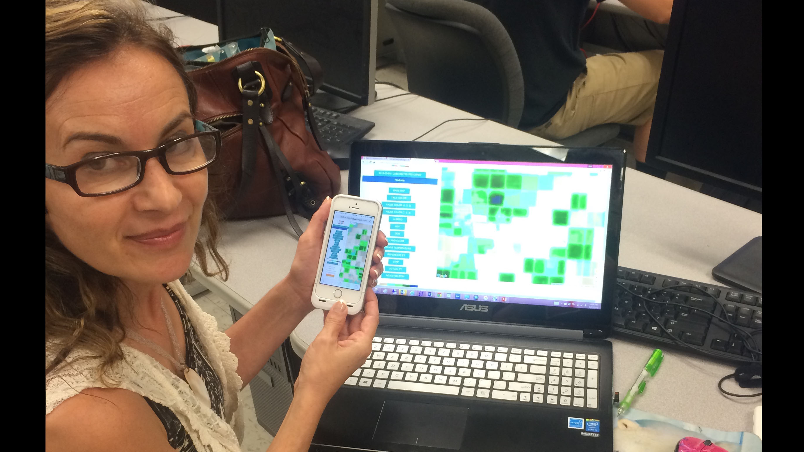
Water managers in 15 states across the U.S. currently use Metric technology to track agricultural water use. Metric measures evapotranspiration (ET)—the amount of water evaporating from the soil and transpiring from a plant’s leaves. The thermal band data on Landsat satellites allows water specialists to measure ET. This process cools the plant down so irrigated farm fields appear cooler (bluer) in Landsat satellite images. The latest evolution of METRIC technology—an application called EEFLUX, will allow anyone in the world to produce field-scale maps of water consumption, including on mobile devices. Metric was developed in the early 2000s and to date EEFLUX has been introduced to the California Department of Water Resources, the California Water Control Board, and the World Bank.

Print resolution still of the Nebraska water use study area.
Landsat-8 temperature colorbar.
Evapotranspiration Ratio (ETrF) colorbar.
Water usage colorbar.
Credits
Please give credit for this item to:
NASA's Scientific Visualization Studio
-
Visualizer
- Alex Kekesi (Global Science and Technology, Inc.)
-
Producers
- Matthew R. Radcliff (USRA)
- Alison Schuyler Ogden (NASA/GSFC)
-
Scientists
- Ayse Kilic (University of Nebraska)
- Ian Ratcliffe (University of Nebraska)
Release date
This page was originally published on Wednesday, October 14, 2015.
This page was last updated on Tuesday, November 14, 2023 at 12:07 AM EST.
Missions
This visualization is related to the following missions:Datasets used in this visualization
-
True Color (Band Combination 2,3,4) [Landsat-8: OLI]
ID: 784 -
[Landsat-8: TIRS]
ID: 790 -
Band Combination 5, 4, 3 [Landsat-8: OLI]
ID: 862
Note: While we identify the data sets used in these visualizations, we do not store any further details, nor the data sets themselves on our site.
Related
- ID: 12026
 Produced Video
Used as a Source In
- ID: 13890
![For half a century, the Landsat mission has shown us Earth from space. Now, come along with us on a ‘roadtrip’ through the decades to see how the technology on this NASA and U.S. Geological Survey partnership has evolved with the times to provide an unbroken data record. Music: --Silent Soul by Stanislaw Syrewicz [PRS], published by Atmosphere Music Ltd. [PRS] --Raspberry Sunshine by Mickey Bruce [PRS] and Treana Morris [PRS], published by Ninja Tune Production Music --Welcome In The Team by Paul Tyan [SACEM], published by KTSA Publishing; --Shall We Play A Game? by Sebastian Barnaby Robertson [BMI] and Tristan Calder [ASCAP], published by Killer Tracks Soundcast Music; --Lisa and Bart by Laurent Tierry-Mieg [SACEM] and Thierry Durbet [SACEM], published by Koka Media; --Stars by Claude Pelouse [SACEM], published by Koka Media; --Royale Time by Jacob Paul Turner [BMI] and Sebastian Barnaby Robertson [BMI], published by Killer Tracks. All tracks are available from Universal Production Music.Complete transcript available.Watch this video on the NASA Goddard YouTube channel.](/vis/a010000/a013800/a013890/13890_70s_poster-print.jpg) Produced Video
Produced Video - ID: 13889
![Landsat 9, launching September 2021, will collect the highest quality data ever recorded by a Landsat satellite, while still ensuring that these new measurements can be compared to those taken by previous generations of the Earth-observing satellite. Landsat 9 will enable or improve measurements of water quality, glacial ice velocity, crop water usage, and much more.Music: The Waiting Room by Sam Dodson [PRS], Afterglow by Christopher Timothy White [PRS], both published by Atmosphere Music Ltd [PRS]; and Inner Strength by Brava/Dsilence/Input/Output [SGAE], published by El Murmullo Sarao [SGAE] and Universal Sarao [SGAE]. Available from Universal Production Music. Complete transcript available.Watch this video on the NASA Goddard YouTube channel.](/vis/a010000/a013800/a013889/13889_Landsat9_at_Work_print.png) Produced Video
Produced Video