Aqua MODIS Acquisition and Products for Hyperwall
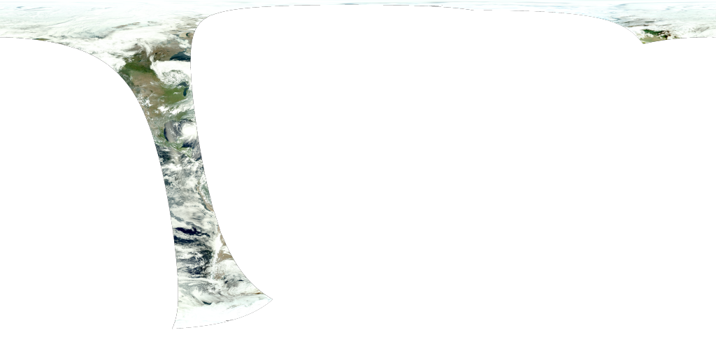
Satellites only view a small piece of the earth at once. Over time, a larger composite view can be created from these small pieces. The images on this page are representative of some different types of data that are collected by satellites about the earth.

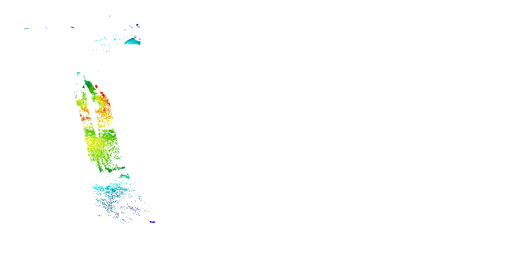
This image shows a composite of ocean chlorophyll concentration and land vegetation taken by Aqua MODIS.

Colorbar for chlorophyll concentration.
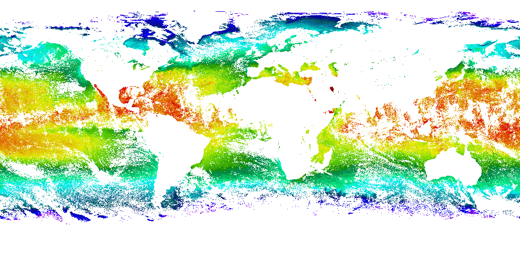
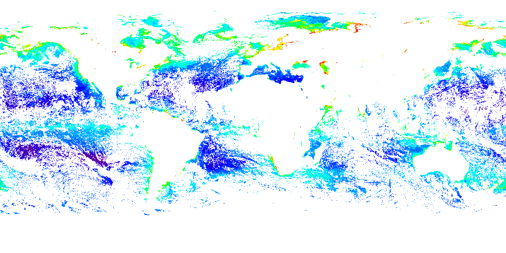
This image shows a composite of sea surface temperature measurements taken by Aqua MODIS.
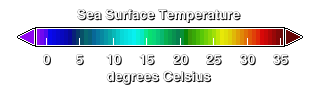
Colorbar for sea surface temperature.
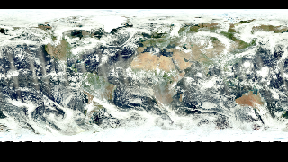
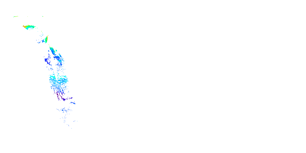
This image shows a composite of Aqua MODIS and Terra MODIS images of the earth.
Credits
Please give credit for this item to:
NASA's Goddard Space Flight Center
-
Animator
- Horace Mitchell (NASA/GSFC)
-
Project support
- Eric Sokolowsky (Global Science and Technology, Inc.)
Release date
This page was originally published on Tuesday, October 8, 2013.
This page was last updated on Sunday, November 12, 2023 at 10:18 PM EST.
Datasets used in this visualization
-
[Aqua: MODIS]
ID: 5 -
[Terra: MODIS]
ID: 116
Note: While we identify the data sets used in these visualizations, we do not store any further details, nor the data sets themselves on our site.
Related
- ID: 3321
- ID: 3322
 Visualization
 - ID: 3324
- ID: 3325
- ID: 3327
- ID: 3328
 Visualization