LAMP Observes GRAIL Impact
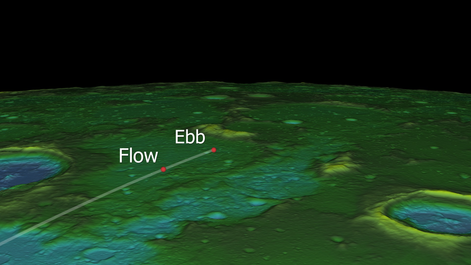
The Gravity Recovery and Interior Laboratory (GRAIL) mission comprised a pair of satellites that together measured the gravity field of the Moon. GRAIL ended its mission with a planned impact into the side of a lunar mountain on December 17, 2012. Lunar Reconnaissance Orbiter (LRO) maneuvered into an orbit that would allow it to observe the impact. One of LRO's instruments, the Lyman-Alpha Mapping Project (LAMP), looked for the chemical signatures of a number of elements, including hydrogen and mercury, in the dust plume kicked up by the impact.
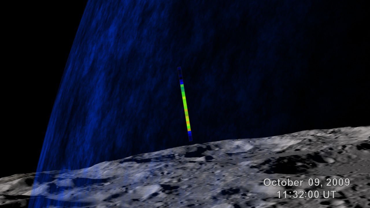
This animation shows the relative positions of GRAIL and LRO at the time of the impact, as well as the view from LAMP as it scanned for the dust plume. The LAMP sensor is a 6.0° x 0.3° slit that was positioned to look over the limb of the Moon, so that it would be pointed into the tenuous dust plume with only the sky in the background. This observation was possible, in part, because GRAIL impacted on the night side of the Moon, where there was no concern that LAMP's sensitive detector could be blinded by sunlit terrain. From Earth, the Moon was a waxing crescent at the time of the impact.
LRO flies over the north pole of the Moon, where it has a very good view of the GRAIL impact. The second part is the view from LRO through LAMP's slit, showing the impact and the resulting plume. The orbits, impact locations, terrain, LAMP field of view, and starfield are accurately rendered.
This is the raw footage of the previous entry. It lacks the clock, slit, and starfield. Includes an alpha channel.
The starfield frames. LAMP was looking in the direction of the constellation Orion at the time of the GRAIL impact.
Credits
Please give credit for this item to:
NASA's Goddard Space Flight Center Scientific Visualization Studio
-
Animator
- Ernie Wright (USRA)
-
Producer
- Dan Gallagher (USRA)
-
Scientists
- John Keller (NASA/GSFC)
- Kurt Retherford (SwRI)
Release date
This page was originally published on Tuesday, March 19, 2013.
This page was last updated on Wednesday, May 3, 2023 at 1:52 PM EDT.
Missions
This visualization is related to the following missions:Series
This visualization can be found in the following series:Datasets used in this visualization
-
DEM (Digital Elevation Map) [LRO: LOLA]
ID: 653 -
UCAC3 (Catalog) [U.S. Naval Observatory: Third CCD Astrograph]
ID: 724 -
SPICE Ephemerides (SPICE Ephemerides)
ID: 755Satellite and planetary ephemerides
See all pages that use this dataset
Note: While we identify the data sets used in these visualizations, we do not store any further details, nor the data sets themselves on our site.
Related
- ID: 4023
 Visualization
 - ID: 3785
 Visualization