ICESCAPE Mission Measures High Chlorophyll-a Under the Ice
ICESCAPE is a multi-year NASA mission to study biogeochemical and ecological impacts of climate change in the Chukchi and Beaufort Seas in the Arctic. During 2011, the ICESCAPE mission acquired data while sailing on the US Coast Guard Cutter Healy. This visualization shows both the technique used by the ICESCAPE mission to take data measurements as well as some of the data that was taken.
The visualization shows the ICESCAPE ship's path through the Chukchi and Beaufort seas north of Alaska from July 3, 2011 through July 8, 2011. The ship stops and takes measurements along the way. The measurements are taken by canisters lowered to various depths that sample the water. The measurement depths range from 1.8 meters to 149.3 meters below sea level. The sets of measurements are broken into two transects. The first transect is the trip out into the ice. The second transect is the trip back. Topography (above sea level) is exaggerated 10 times. Bathymetry (below sea level) is exaggerated 200 times in order differentiate the measurements.
The colors of the measurements (i.e,. stations) correspond to the color bar below which represent chlorophyll-a concentrations. Measurements that are depicted by spheres were acquired while the ship was in open water while measurements depicted by cubes were acquired when the ship was in ice. As data is collected, a wall of interpolated data is generated.
An important finding of this research was that high concentrations of chlorophyll-a were found under the ice.
The Icescape mission taking measurments
This video is also available on our YouTube channel.

Colorbar for ICESCAPE data. Data is Chlorophyll-a in units of micro-grams per liter. The range is from 0 (purple) to 10 (green) to 20 (orange) to 30 (red).
Pullback showing transects

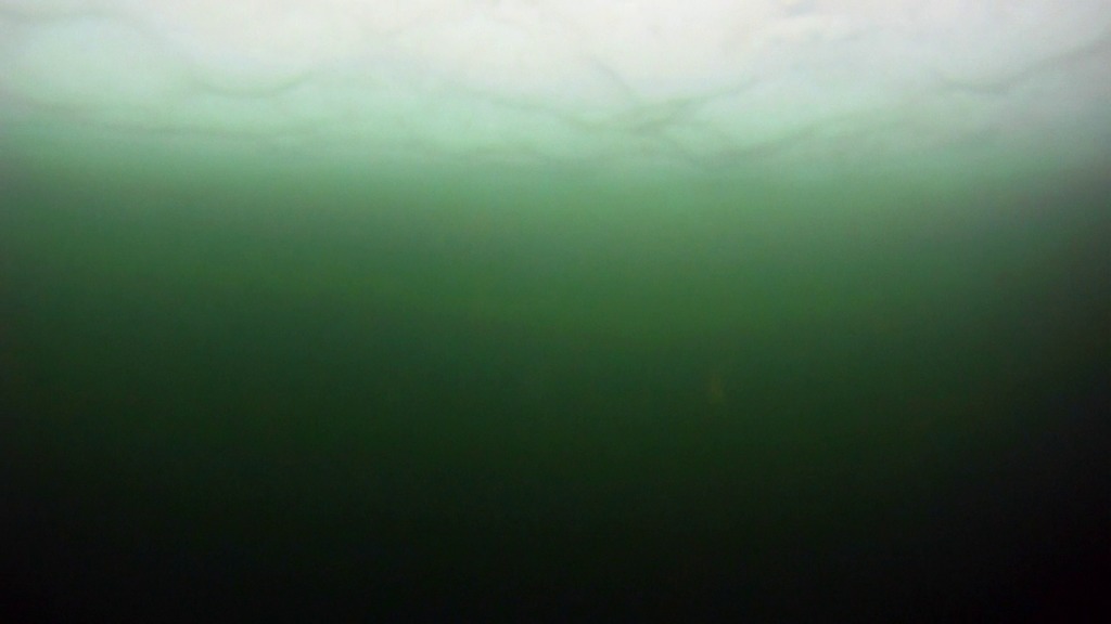
The ICESCAPE mission takes measurements by lowering canisters from a ship.
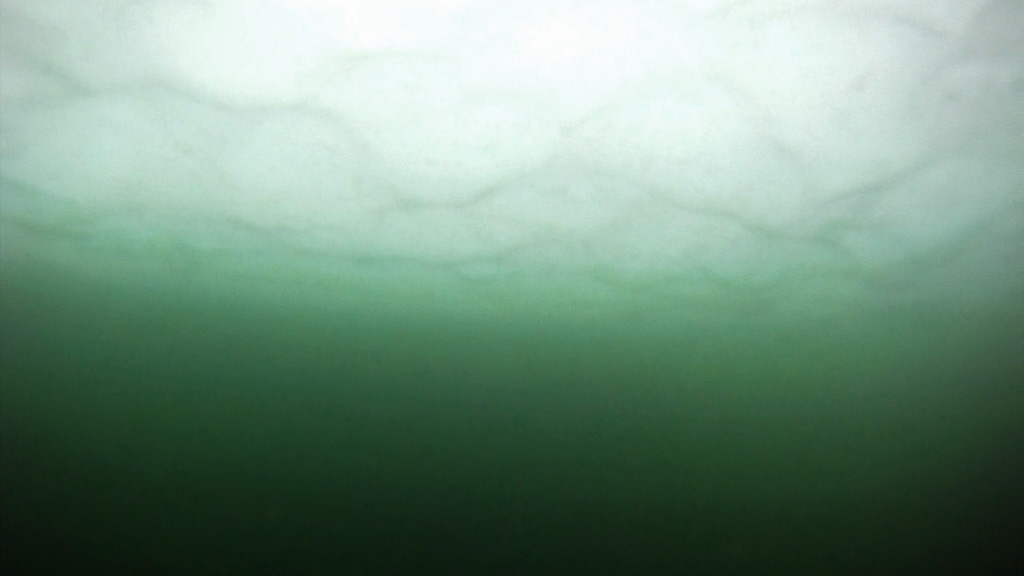
The ship enters the ice field. Measurements that where taken under the ice are marked with cubes. Measurements taken in open water are marked with spheres.
The second transect found more chlorophyll-a under ice.
The second transect.
Both transects from above the ice
Credits
Please give credit for this item to:
NASA/Goddard Space Flight Center Scientific Visualization Studio
-
Animators
- Greg Shirah (NASA/GSFC)
- Trent L. Schindler (USRA)
-
Producer
- Kayvon Sharghi (USRA)
-
Scientists
- Kevin Arrigo (Standford University)
- Donald Perovich (U.S. Army Corps of Engineers)
-
Writer
- Patrick Lynch (Wyle Information Systems)
Release date
This page was originally published on Thursday, June 7, 2012.
This page was last updated on Tuesday, November 14, 2023 at 12:02 AM EST.
Missions
This visualization is related to the following missions:Datasets used in this visualization
-
GTOPO30 Topography and Bathymetry
ID: 274 -
BMNG (Blue Marble: Next Generation) [Terra and Aqua: MODIS]
ID: 508Credit: The Blue Marble data is courtesy of Reto Stockli (NASA/GSFC).
This dataset can be found at: http://earthobservatory.nasa.gov/Newsroom/BlueMarble/
See all pages that use this dataset -
ICESCAPE-Chlorophyll-a (Chlorophyll a) [ICESCAPE Ship (USCGC Healy): Canister]
ID: 731This dataset can be found at: http://www.google.com/url?sa=t&rct=j&q=&esrc=s&source=web&cd=7&ved=0CEoQFjAG&url=http%3A%2F%2Fwww.icefloe.net%2Fhly1001%2FICESCAPE%2520Cruise%2520Report%2520_3_.pdf&ei=M6RoT5aCL8XItge2x_GZCQ&usg=AFQjCNE5sUBeT6UCUJUbCiW4LeZFNeU1Zw&sig2=lD0zv8w2cIYJ_4Tfdr72Uw
See all pages that use this dataset
Note: While we identify the data sets used in these visualizations, we do not store any further details, nor the data sets themselves on our site.
Related
- ID: 10983
 Produced Video
 - ID: 10907