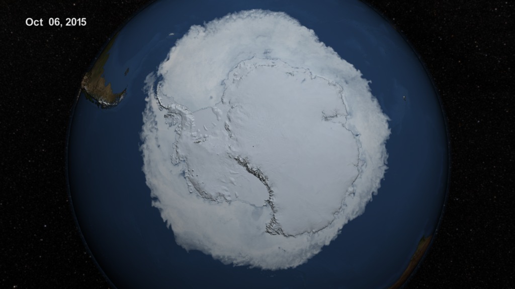
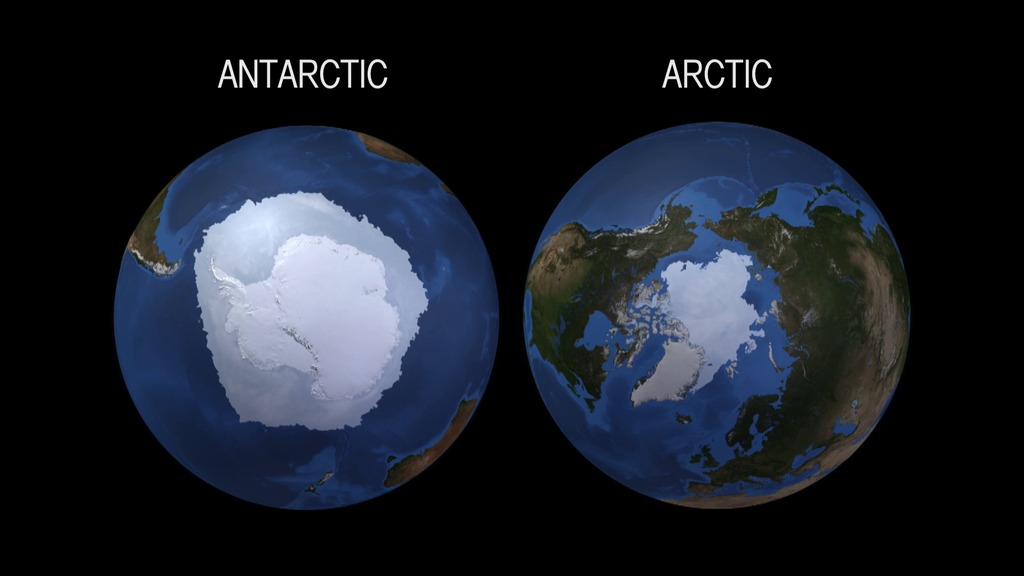
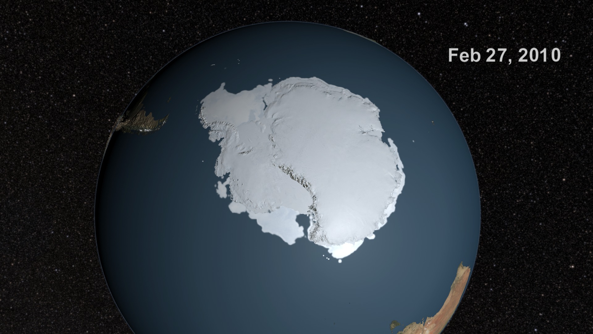
AMSR-E Antarctic Sea Ice
Sea ice is frozen seawater floating on the surface of the ocean. Some sea ice is semi-permanent, persisting from year to year, and some is seasonal, melting and refreezing from season to season. The sea ice cover reaches its minimum extent at the end of each summer and the remaining ice is called the perennial ice cover.
In this animation, the Antarctic sea ice progresses through time from May 26, 2009 through July 31, 2010. Over the water, Arctic sea ice changes from day to day showing a running 3-day average sea ice concentration in the region where the concentration is greater than 15%. The blueish white color of the sea ice is derived from a 3-day running minimum of the AMSR-E 89 GHz brightness temperature. Over the Antarctic continent, the LIMA data shown here uses the pan-chromatic band and has a resolution of 240 meters per pixel. The Landsat Image Mosaic of Antarctica (LIMA) is a data product funded by the National Science Foundation (NSF) and jointly produced by the U.S. Geological Survey (USGS), the British Antarctic Survey (BAS), and the National Aeronautics and Space Administration (NASA).
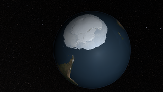
This animation shows the sea ice around Antarctica with a star background.
This layer shows the forground animation of the Earth with the Antarctic sea ice with transparency.
This layer includes the star background with transparency.
Credits
Please give credit for this item to: NASA/Goddard Space Flight Center Scientific Visualization Studio. The Blue Marble data is courtesy of Reto Stockli (NASA/GSFC). LIMA Data provided by: Patricia Vornberger (SAIC) LIMA data produced by U.S. Geological Survey (USGS), the British Antarctic Survey (BAS) and NASA
-
Visualizer
- Cindy Starr (Global Science and Technology, Inc.)
-
Animator
- Trent L. Schindler (UMBC)
-
Producers
- Ryan Fitzgibbons (USRA)
- Duncan Copp (Houston Symphony)
-
Scientist
- Josefino Comiso (NASA/GSFC)
-
Project support
- James W. Williams (Global Science and Technology, Inc.)
- Shiloh Heurich (Global Science and Technology, Inc.)
Release date
This page was originally published on Monday, October 24, 2011.
This page was last updated on Tuesday, November 14, 2023 at 12:01 AM EST.
Datasets used in this visualization
-
Daily L3 6.25 km 89 GHz Brightness Temperature (Tb) [Aqua: AMSR-E]
ID: 236 -
Sea Ice Concentration (Daily L3 12.5km Tb, Sea Ice Concentration, and Snow Depth) [Aqua: AMSR-E]
ID: 237 -
Blue Marble Land Cover [Terra and Aqua: MODIS]
ID: 510Credit: The Blue Marble data is courtesy of Reto Stockli (NASA/GSFC).
See all pages that use this dataset -
LIMA (Landsat Image Mosaic of Antarctica) [Landsat-7: ETM+]
ID: 599Mosaicing to avoid clouds produced a high quality, nearly cloud-free benchmark data set of Antarctica for the International Polar Year from images collected primarily during 1999-2003.
This dataset can be found at: http://lima.nasa.gov/
See all pages that use this dataset
Note: While we identify the data sets used in these visualizations, we do not store any further details, nor the data sets themselves on our site.
Related
- ID: 4368
 Visualization
 - ID: 11703
 Produced Video
 - ID: 11125
 Produced Video
 - ID: 3862
 Visualization