Landsat and Sentinel NDVI, 2022
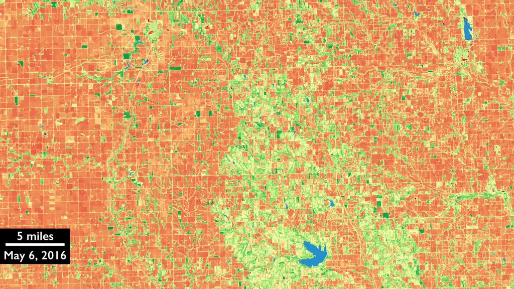
The Harmonized Landsat and Sentinel-2 (HLS) project is a NASA initiative aiming to produce a seamless surface reflectance record from the Operational Land Imager (OLI) and Multi-Spectral Instrument (MSI) aboard Landsat-8/9 and Sentinel-2A/B remote sensing satellites, respectively. The HLS Version-2.0 data are available now with global coverage (except for Antarctica). With four sensors currently in this virtual constellation, HLS provides observations once every three days at the equator and more frequently with increasing latitude. But getting an observation every three days does not mean getting a clear view of the ground every three days; in most areas of the world clouds frequently obstruct the view. These animations show a year's worth of HLS data near Columbus, Nebraska from 2022. One animation includes the cloudy scenes and the other has cloud-free or mostly cloud-free scenes.
A year's worth of NDVI, including cloudy scenes.
A year's worth of mostly cloud-free NDVI
For More Information
Credits
The HLS project is a collaboration between NASA and USGS, with the science team at NASA Goddard Space Flight Center supported by USGS Earth Resources Observation and Science (EROS) Center on atmospheric correction, the production team at NASA Marshall Space Flight Center, and product archive at USGS.
-
Visualizer
Release date
This page was originally published on Tuesday, November 28, 2023.
This page was last updated on Monday, February 26, 2024 at 12:43 AM EST.
Related
- ID: 12770
 Produced Video