Sea Level Visualization of Gulf Stream

Sea surface height measurements of the Gulf Stream
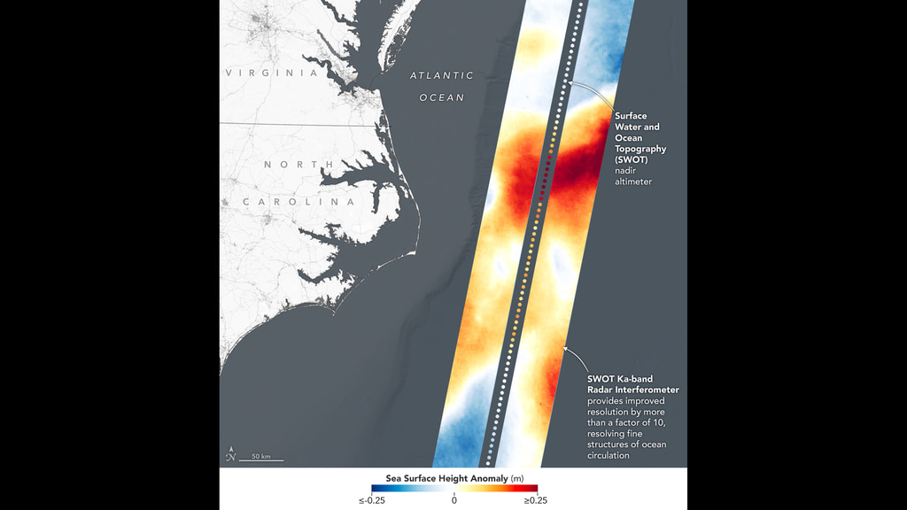
This visualization shows sea surface height measurements of the Gulf Stream off the coast of North Carolina and Virginia. The data was collected on Jan. 21, 2023, by seven satellites currently in operation. The information, provided by the Copernicus Marine Service of ESA (European Space Agency), comes from radar instruments called Earth-facing altimeters. In the visualization, red and orange areas represent sea levels that are higher than the global average, while shades of blue represent sea levels that are lower than average.
An altimeter – widely used to measure sea level from space – works by bouncing radar signals off the ocean's surface directly beneath the instrument. It records both the time the signal takes to travel from a satellite to Earth and back, as well as the strength of the return signal. The spatial resolution offered by these instruments – shown in the composite image that's been modified so that different sea levels appear as different colors – is in contrast to the spatial resolution offered by a new instrument called the Ka-band Radar Interferometer (KaRIn), which is 10 times greater.
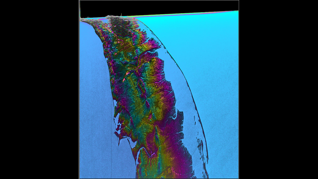
KaRIn launched on board the Surface Water and Ocean Topography (SWOT) satellite on Dec. 16, 2022. SWOT is now in a six-month period called commissioning, calibration and validation. This is when engineers on the mission check out the performance of the satellite's systems and science instruments before the planned start of science operations in July 2023.
Led by NASA and the French space agency Centre National d'Études Spatiales (CNES), SWOT will measure the height of water on over 90% of Earth's surface, providing a high-definition survey of our planet's water for the first time. The satellite's measurements of freshwater bodies and the ocean will provide insights into how the ocean influences climate change; how a warming world affects lakes, rivers, and reservoirs; and how communities can better prepare for floods and other disasters.
For More Information
Credits
Please give credit for this item to:
NASA/JPL-Caltech/Copernicus Marine Service of ESA (European Space Agency)
-
Technical support
- Amy Moran (Global Science and Technology, Inc.)
Release date
This page was originally published on Monday, March 27, 2023.
This page was last updated on Wednesday, November 15, 2023 at 12:45 AM EST.
Related
- ID: 31220
 Hyperwall Visual
 - ID: 31221
 Hyperwall Visual