Shanghai Growth from the International Space Station
An animation comparing Shanghai night lights in 2003 and 2018
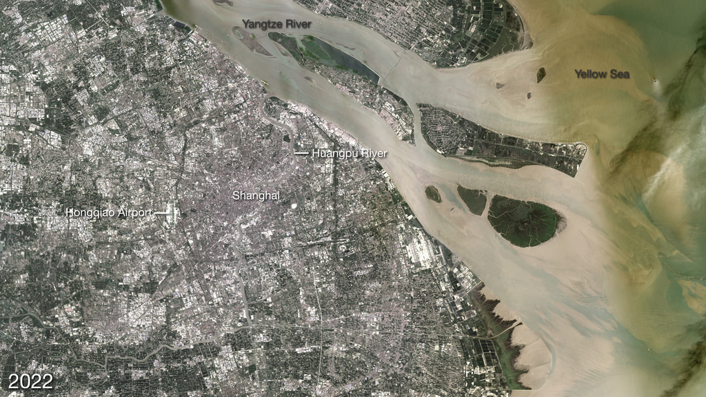
These nighttime photographs taken by astronauts aboard the International Space Station reveal the unprecedented growth of Shanghai between 2003 and 2018. The city of Shanghai sits along the delta banks of the Yangtze River along the eastern coast of China. The city proper is the world’s most populous city.
The surge in China’s urbanization began in the 1980s when the Chinese government began opening the country to foreign trade and investment. As markets developed in “special economic zones,” villages morphed into booming cities and cities grew into sprawling megalopolises. In 1982, Shanghai was a relatively compact industrial city of 12 million people; however, that number grew to 24 million in 2016. Much of the growth has occurred in new satellite developments like areas to the west of the city (for example, Suzhou).
The rapid pace of development has changed Shanghai’s natural ecosystems. Wetlands in the region have declined due to sea level rise, erosion, dredging, and the construction of water storage infrastructure. The creation of new coastal land—by piling sediment onto tidal flats in a process called land reclamation—has also played a key role. Despite the dizzying pace of urbanization, there are signs that Shanghai‘s growth may be tapering off. Officials announced that they will cap the city’s population at 25 million in the hopes of easing the pressure on the environment, infrastructure, and city services.
Nighttime photos taken by astronauts aboard the International Space Station reveal the growth of shanghia between 2003 and 2018.

Astronaut photograph of Shanghai from 2003
Astronaut photograph of Shanghai from 2018
For More Information
Credits
Please give credit for this item to:
NASA's Goddard Space Flight Center
-
Visualizer
-
Writer
- Heather Hanson (Global Science and Technology, Inc.)
Release date
This page was originally published on Sunday, March 31, 2019.
This page was last updated on Wednesday, November 15, 2023 at 12:41 AM EST.
Missions
This visualization is related to the following missions:Related
- ID: 30874
 Hyperwall Visual