First Global Topographic Model of Mercury
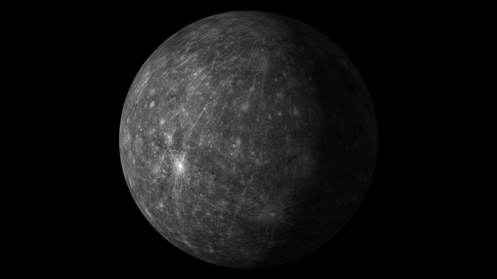
NASA’s MErcury Surface, Space ENvironment, GEochemistry, and Ranging (MESSENGER) mission has unveiled the first global digital elevation model (DEM) of Mercury, revealing in stunning detail the topography across the entire innermost planet and paving the way for scientists to fully characterize Mercury’s geologic history.
In the colorized map, purple and blue colors indicate lower elevations while yellows and red show high elevations.

A global elevation map of Mercury.
For More Information
Credits
Please give credit for this item to:
NASA/U.S. Geological Survey/Arizona State University/Carnegie Institution of Washington/JHUAPL
-
Graphic designer
Release date
This page was originally published on Friday, October 14, 2016.
This page was last updated on Tuesday, November 14, 2023 at 12:33 AM EST.
Missions
This visualization is related to the following missions:Papers used in this visualization
Becker, K.J. et al. (2016) LPS 47, Abstract 2959.
Datasets used in this visualization
-
Global DEM 665m [MESSENGER]
ID: 958Using observations from Mercury Dual Imaging System (MDIS) narrow-angle camera (NAC) and multispectral wide-angle camera (WAC), we derived a global digital elevation model (DEM) of Mercury.
Credit: NASA/U.S. Geological Survey/Arizona State University/Carnegie Institution of Washington/JHUAPL
See all pages that use this dataset
Note: While we identify the data sets used in these visualizations, we do not store any further details, nor the data sets themselves on our site.
Related
- ID: 14110
 Produced Video