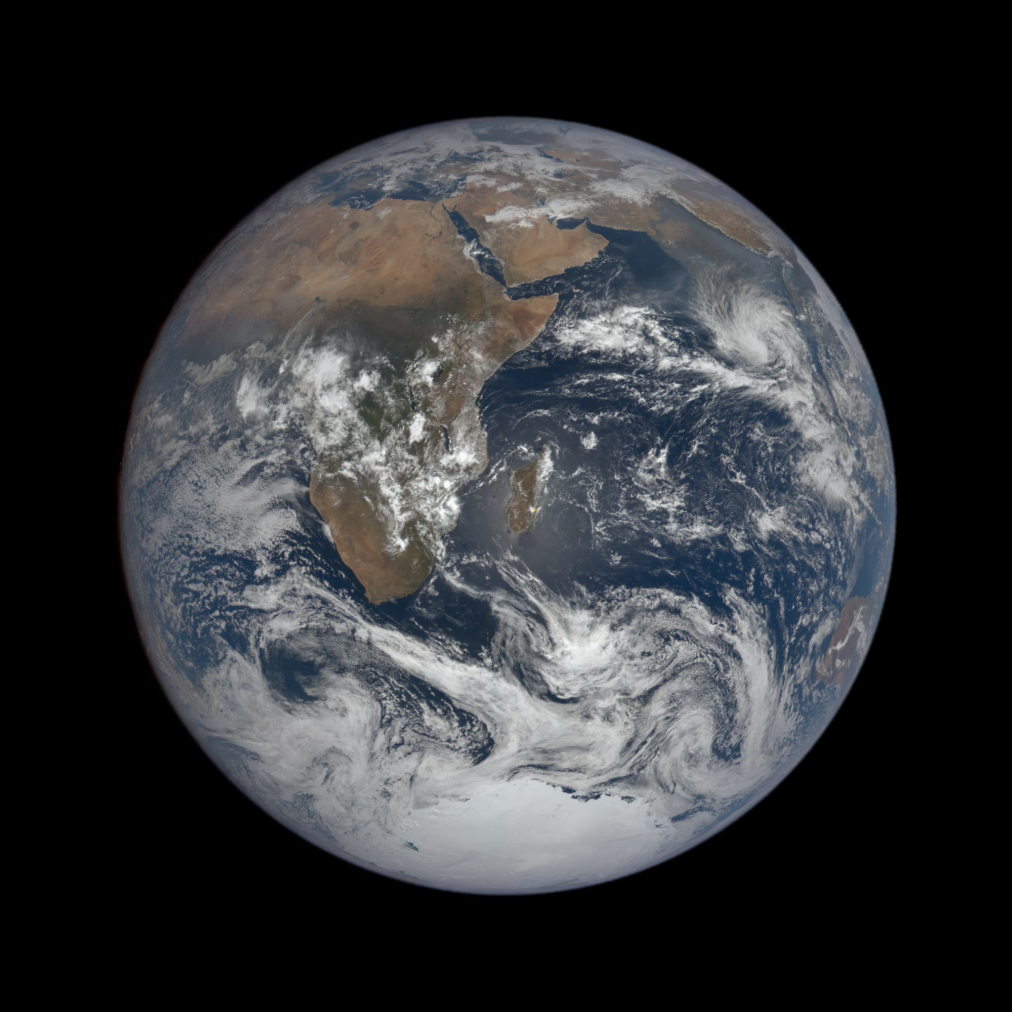
The Blue Marble From Apollo 17
This classic photograph of the Earth was taken on December 7, 1972. This is a version of the image prepared for use on the hyperwall. The original caption is reprinted below:
View of the Earth as seen by the Apollo 17 crew traveling toward the moon. This translunar coast photograph extends from the Mediterranean Sea area to the Antarctica south polar ice cap. This is the first time the Apollo trajectory made it possible to photograph the south polar ice cap. Note the heavy cloud cover in the Southern Hemisphere. Almost the entire coastline of Africa is clearly visible. The Arabian Peninsula can be seen at the northeastern edge of Africa. The large island off the east coast of Africa is the Republic of Madagascar. The Asian mainland is on the horizon toward the northeast.

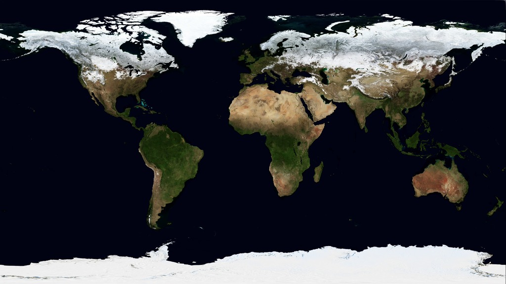
Blue marble image of Earth
For More Information
See the following sources:
Credits
Image courtesy of the Earth Science and Remote Sensing Unit, NASA Johnson Space Center
-
Technical support
Release date
This page was originally published on Monday, July 20, 2015.
This page was last updated on Wednesday, February 21, 2024 at 12:26 AM EST.
Missions
This visualization is related to the following missions:Related
- ID: 31205
 Hyperwall Visual
 - ID: 12564
 Produced Video
 - ID: 30763
 Hyperwall Visual
 - ID: 30614
 Hyperwall Visual