Gravity on the Moon vs. Asteroid Bennu: Animation
The lunar surface is better at resisting impacts than the loose surface of asteroid Bennu – thanks to the Moon’s much stronger gravity.
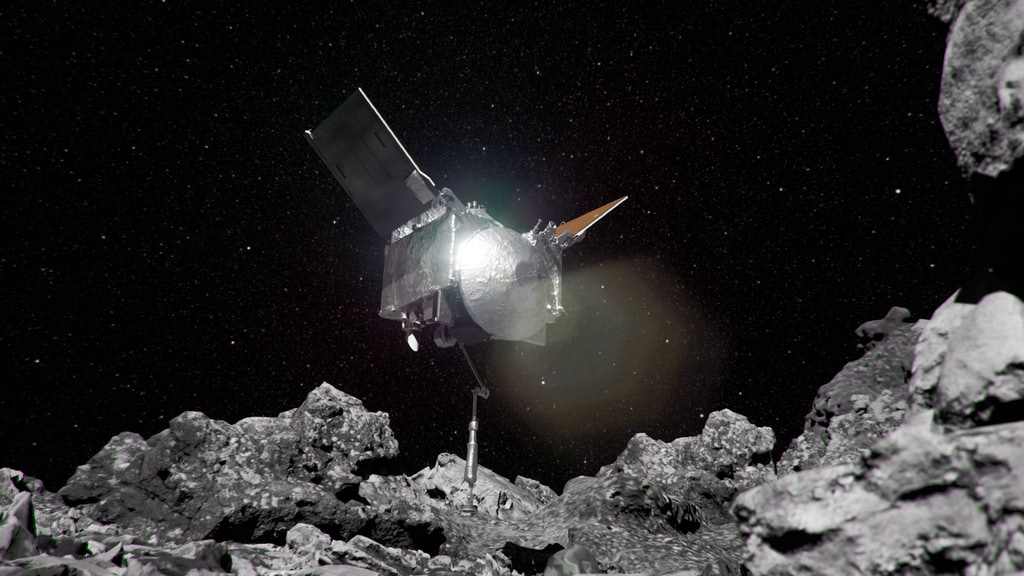
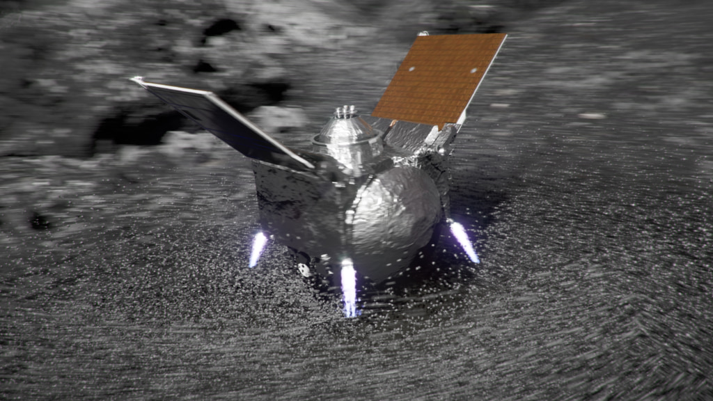
Asteroid Bennu is a dark, jumbled mass of rocks and boulders left over from the formation of the solar system. Roughly the height of a skyscraper, Bennu’s loose surface materials are held together by an incredibly weak gravitational field – with a minute tug less than one-hundred-thousandth the pull of Earth. What would it be like to touch down on such an environment?
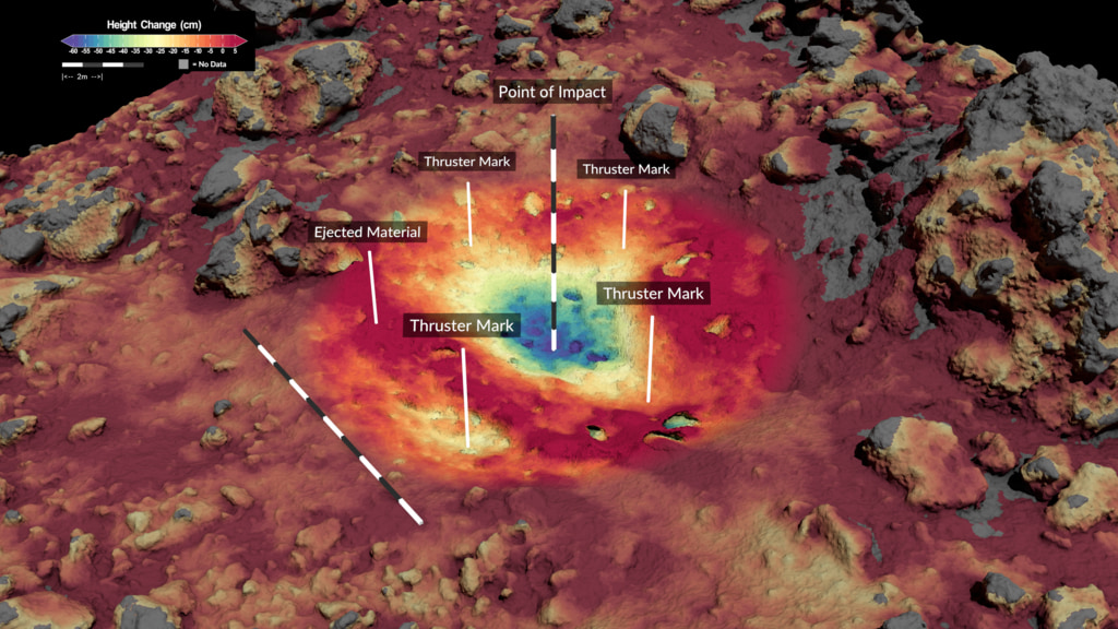
On the Moon, gravity is sixteen percent as strong as it is on Earth and more than sixteen thousand times stronger than it is on Bennu. As a result, loose material in the lunar subsurface is packed together more tightly, making the Moon’s surface relatively firm. If a fifty-kilogram mass of solid iron were to hit the Moon traveling at ten centimeters per second, it would sink into the ground by only half a centimeter.
Repeating this experiment at Bennu would yield a dramatically different result. Though the mass would strike the asteroid’s surface with the same force, it would plunge seventeen centimeters before stopping – over thirty times deeper than at the Moon.
For More Information
Credits
Please give credit for this item to:
NASA's Goddard Space Flight Center Conceptual Image Lab
-
Animator
-
Visualizer
- Kel Elkins (USRA)
-
Producer
- Dan Gallagher (KBR Wyle Services, LLC)
-
Scientist
- Ron Ballouz (The Johns Hopkins University Applied Physics Laboratory)
-
Support
- Ernie Wright (USRA)
-
Technical support
- Aaron E. Lepsch (ADNET Systems, Inc.)
Release date
This page was originally published on Thursday, July 7, 2022.
This page was last updated on Wednesday, May 3, 2023 at 11:44 AM EDT.
Missions
This visualization is related to the following missions:Related
- ID: 20360
- ID: 5010
 Visualization
Used as a Source In
- ID: 14179
 Produced Video