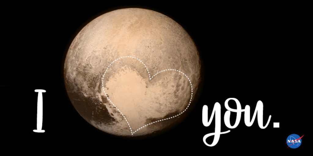
NASA Earth Valentines
We've got that look of love! Earth-observing satellites and astronauts capture our planet’s beauty every day. Share a Valentine with the one you can’t keep your eyes off of, inspired by some of our NASA missions.

The TEMPO instrument is a UV-visible spectrometer, and will be the first ever space-based instrument to monitor air pollutants hourly across the North American continent during daytime. It will collect high-resolution measurements of ozone, nitrogen dioxide and other pollutants, data which will revolutionize air quality forecasts.
Image: https://twitter.com/astro_kimbrough/status/1430152144523612166
The EMIT instrument is an imaging spectrometer — a NASA invention widely used in the agency’s space missions — that will measure light in visible and infrared wavelengths. When the various wavelengths of light – the spectrum – are distributed across the instrument’s detector, they display unique spectral signatures indicating the mineral composition of the surface. EMIT will acquire over 100,000 such spectra every second, mapping the composition of minerals on Earth’s surface.
Image: https://images.nasa.gov/details-iss036e025673
Oceans Melting Greenland (OMG) was a NASA mission to understand the role that the ocean plays in melting Greenland’s glaciers. From the sky and the sea, OMG gathered data about water temperatures and the glaciers around Greenland to get a better idea of just how fast the ice is melting, and how fast global sea levels will rise.
Image: https://omg.jpl.nasa.gov/portal/gallery
SWOT will make the first global survey of Earth's surface water, observe the fine details of the ocean's surface topography, and measure how water bodies change over time.
Image: https://twitter.com/astro_kimbrough/status/1430152144523612166
The NASA/USGS Landsat Program provides the longest continuous space-based record of Earth’s land in existence. Landsat data give us information essential for making informed decisions about Earth’s resources and environment.
Image: https://twitter.com/usgslandsat/status/1370082096899833874
Credits
Please give credit for this item to:
NASA's Goddard Space Flight Center
-
Producers
- Kathryn Mersmann (KBR Wyle Services, LLC)
- Jocelyn Argueta (JPL)
-
Writer
- Kate Ramsayer (Telophase)
Release date
This page was originally published on Wednesday, February 9, 2022.
This page was last updated on Wednesday, May 3, 2023 at 1:37 PM EDT.
Related
- ID: 12861
 Produced Video