NASA Tracks the Arizona Bush Fire
Music: "Solar Winds" by Ben Niblett [PRS] and Jon Cotton [PRS] courtesy of Universal Production Music.
Complete transcript available.
On the afternoon of June 13, 2020, a vehicle fire near the intersection of Bush Highway and State Route 87 ignited the brush and grass nearby. As of June 25, 2020, the Bush Fire is one of the five largest fires in Arizona's history.
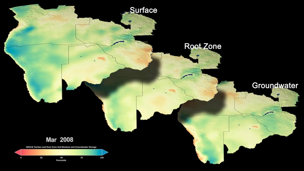
NASA’s satellite instruments are often the first to detect wildfires burning in remote regions, and the locations of new fires are sent directly to land managers worldwide within hours of the satellite overpass. Together, NASA instruments detect actively burning fires, track the transport of smoke from fires, provide information for fire management, and map the extent of changes to ecosystems, based on the extent and severity of burn scars. NASA has a fleet of Earth-observing instruments, many of which contribute to our understanding of fire in the Earth system.
For More Information
Credits
Please give credit for this item to:
NASA's Goddard Space Flight Center
-
Scientist
- Amber Soja (NASA/LaRC)
-
Producer
- Katie Jepson (USRA)
-
Visualizers
- Trent L. Schindler (USRA)
- Lori Perkins (NASA/GSFC)
- Greg Shirah (NASA/GSFC)
-
Technical support
- Aaron E. Lepsch (ADNET Systems, Inc.)
Release date
This page was originally published on Friday, June 26, 2020.
This page was last updated on Wednesday, May 3, 2023 at 1:44 PM EDT.
Series
This visualization can be found in the following series:Sources
- ID: 5060
 Visualization
 - ID: 4964
 Visualization
 - ID: 4882
 Visualization
 - ID: 4801
 Visualization
 - ID: 4806
 Visualization
 - ID: 4787
 Visualization