Calling All Meteorologists! How NOAA Satellites Are Keeping an Eye on Extreme Spring Weather

Canned interview to be posted soon
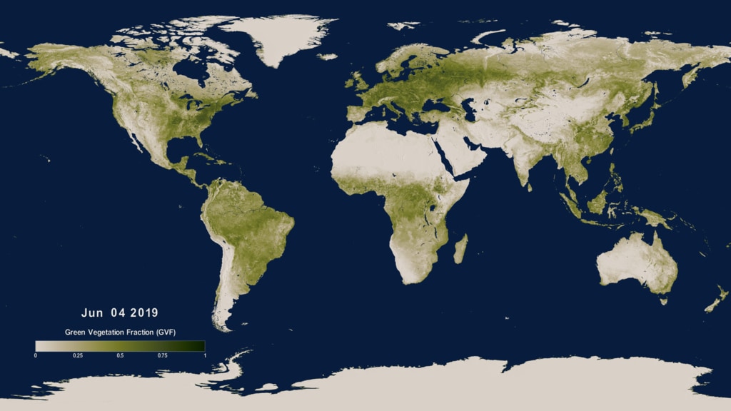
GREENBELT, Md., Goddard Space Flight Center — If it feels like spring came early this year, it’s not your imagination. Thanks to the leap year, this is the earliest spring equinox since 1896 — more than 120 years ago. NOAA satellites, launched by NASA, can see signs of spring everywhere from the unique vantage point of space. From plants greening up to changes in our weather, NOAA satellites have you covered by continuously monitoring instant and long-term change.
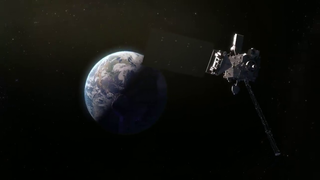
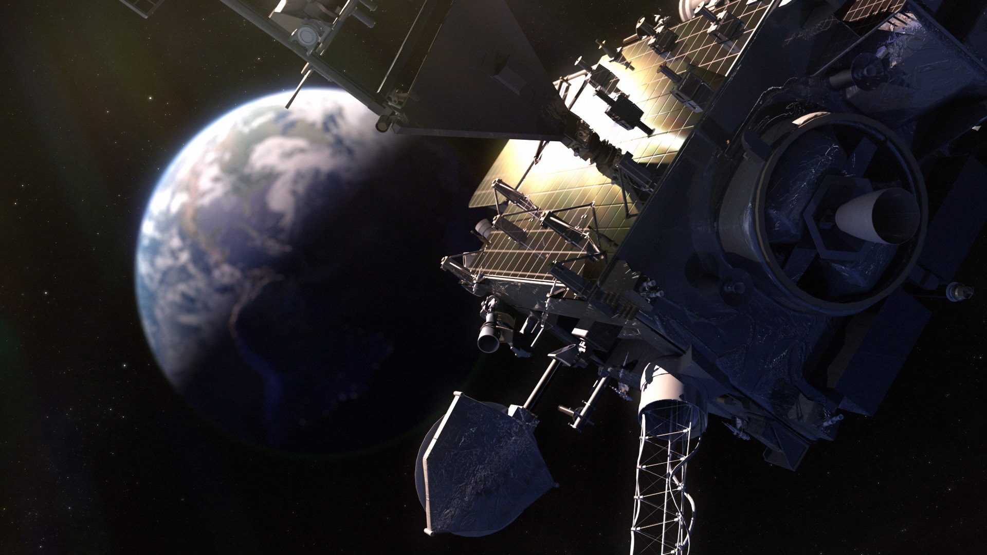
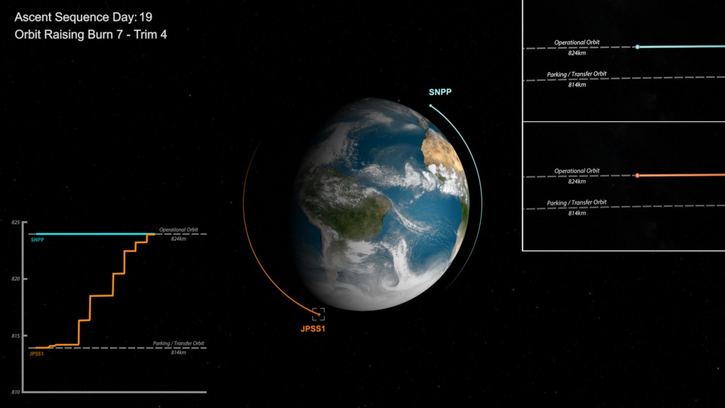
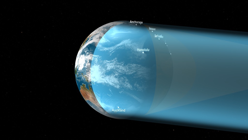
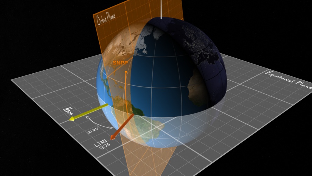
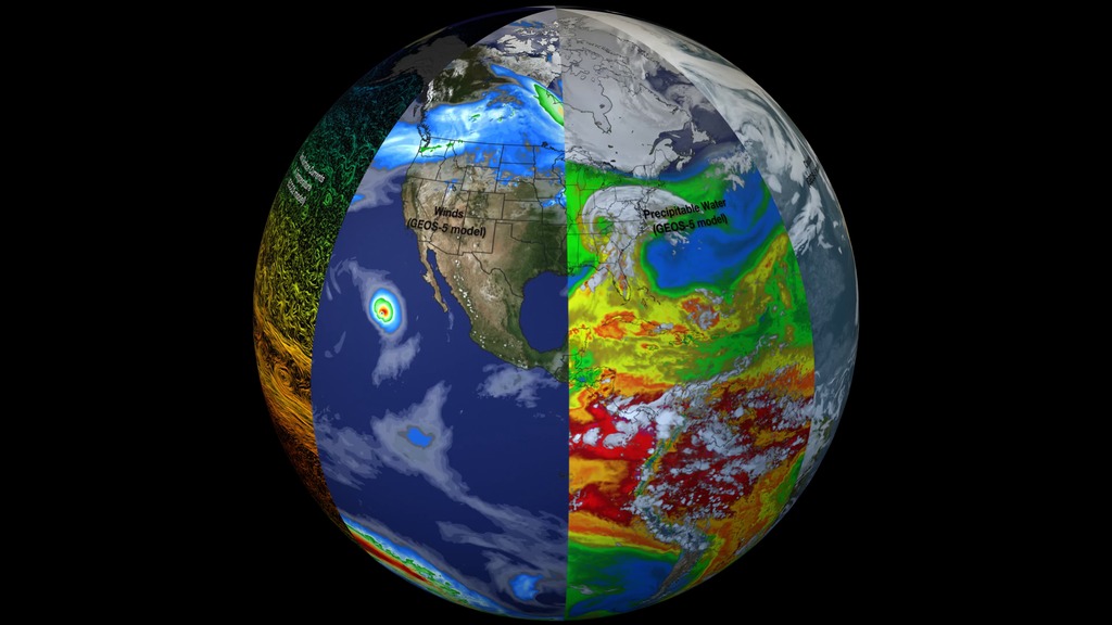
For 50 years, NOAA’s weather satellites have provided observations and imagery of storm systems, which helps forecasters monitor and assess a storm’s evolution. Orbiting Earth at different heights and paths, NOAA’s fleet of satellites gives us an important, comprehensive view of our planet. The Geostationary Operational Environmental Satellite (GOES) system is parked in an orbit over the equator and continuously tracks the same area. Meanwhile, the Joint Polar Satellite System (JPSS) is in a lower orbit, flying over the north and south poles to give us a constantly shifting global perspective. These satellites work in concert to provide imagery for monitoring a storm, and temperature and moisture data to be fed into the weather forecast models meteorologists use to develop the weather forecast you rely on every day.
Follow us on Twitter for the latest information:
@NOAASatellites
For more check out the following links:
www.goes-r.gov/
www.jpss.noaa.gov/
www.nesdis.noaa.gov/
Canned interview with Kevin Fryar
Canned interview in Spanish with Alfonso Delgado Bonal
Social media video with Kevin Fryar
Social media video with Alfonso Delgado Bonal
For More Information
See the following sources:
Credits
Please give credit for this item to:
NASA's Goddard Space Flight Center
-
Producers
- Michelle Handleman (USRA)
- Mariah Cox (NASA)
- Teresa Johnson (NASA/GSFC)
-
Technical support
- Aaron E. Lepsch (ADNET Systems, Inc.)
Release date
This page was originally published on Thursday, March 19, 2020.
This page was last updated on Wednesday, May 3, 2023 at 1:45 PM EDT.
Related
- ID: 4800
 Visualization
 - ID: 12870
 Produced Video
 - ID: 12863
- ID: 4613
 Visualization
 - ID: 4618
- ID: 12751
- ID: 4430
 Visualization
 - ID: 30701
 Hyperwall Visual