Operation IceBridge - Misc.
NASA’s Operation IceBridge images Earth’s polar ice in unprecedented detail to better understand processes that connect the polar regions with the global climate system. IceBridge utilizes a highly specialized fleet of research aircraft and the most sophisticated suite of innovative science instruments ever assembled to characterize annual changes in thickness of sea ice, glaciers, and ice sheets. In addition, IceBridge collects critical data used to predict the response of earth’s polar ice to climate change and resulting sea-level rise. IceBridge also helps bridge the gap in polar observations between NASA’s ICESat satellite missions.
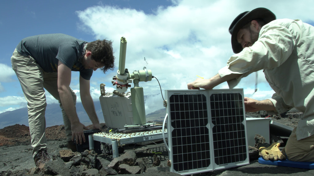
The below clips represent a miscellaneous collection of instruments used during the Arctic campaigns.
Arctic 2017 campaign.
NOTE: The audio on this clip varies widely and includes loud aircraft noise. We advise turning down/off sound when previewing this item.
4K B-roll during Arctic 2019 campaign.
NOTE: The audio on this clip varies widely and includes loud aircraft noise. We advise turning down/off sound when previewing this item.
Arctic 2016 campaign.
NOTE: The audio on this clip varies widely and includes loud aircraft noise. We advise turning down/off sound when previewing this item.
NOTE: The audio on this clip varies widely and includes loud aircraft noise. We advise turning down/off sound when previewing this item.
For More Information
Credits
Please give credit for this item to:
NASA's Goddard Space Flight Center
-
Videographer
- Jefferson Beck (USRA)
-
Project scientists
- Joe MacGregor (NASA/GSFC)
- John Sonntag (EGG)
- Nathan T. Kurtz (NASA/GSFC)
Release date
This page was originally published on Monday, December 9, 2019.
This page was last updated on Wednesday, May 3, 2023 at 1:45 PM EDT.
Missions
This visualization is related to the following missions:Related
- ID: 14197
 Produced Video