Operation IceBridge - ATM Arctic Ground Stations
The Airborne Topographic Mapper (ATM) is a scanning LIDAR developed and used by NASA for observing the Earth’s topography for several scientific applications, foremost of which is the measurement of changing Arctic and Antarctic icecaps and glaciers. It typically flies on aircraft at an altitude between 400 and 800 meters above ground level, and measures topography to an accuracy of better than 10 centimeters by incorporating measurements from GPS (global positioning system) receivers and inertial navigation system (INS) attitude sensors.
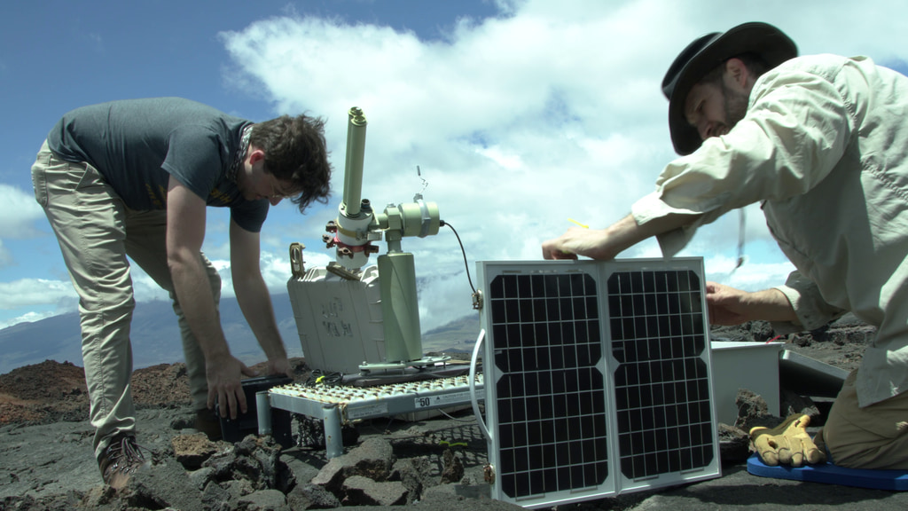
The GPS ground station is an integral part of ATM operations. Having ground station data allows us to do differential GPS post processing and more accurately calculate the position of the aircraft.
The ground station consists of 3 GPS receivers, an iridium notch filter, 4 port passive splitter and a netbook computer to download the data. The system has the ability to track both GPS and GLONASS constellations and is battery backed up for 24 hours of operation without power input. One of the GPS units operates at a low recording rate (logging once every 30 seconds) continually during a campaign. This data is used to calculate a resolved position for the GPS antenna. The other units record at 10hz during aircraft operations.
4K footage of crewmember setting up the ATM ground station in Longyearbyen, Svalbard during the 2017 Arctic campaign.
4K footage of ATM ground station outside of the Thule Air Base during the 2016 Arctic campaign.
For More Information
Credits
Please give credit for this item to:
NASA's Goddard Space Flight Center
-
Videographer
- Jefferson Beck (USRA)
Release date
This page was originally published on Monday, December 9, 2019.
This page was last updated on Wednesday, May 3, 2023 at 1:45 PM EDT.
Missions
This visualization is related to the following missions:Related
- ID: 14197
 Produced Video