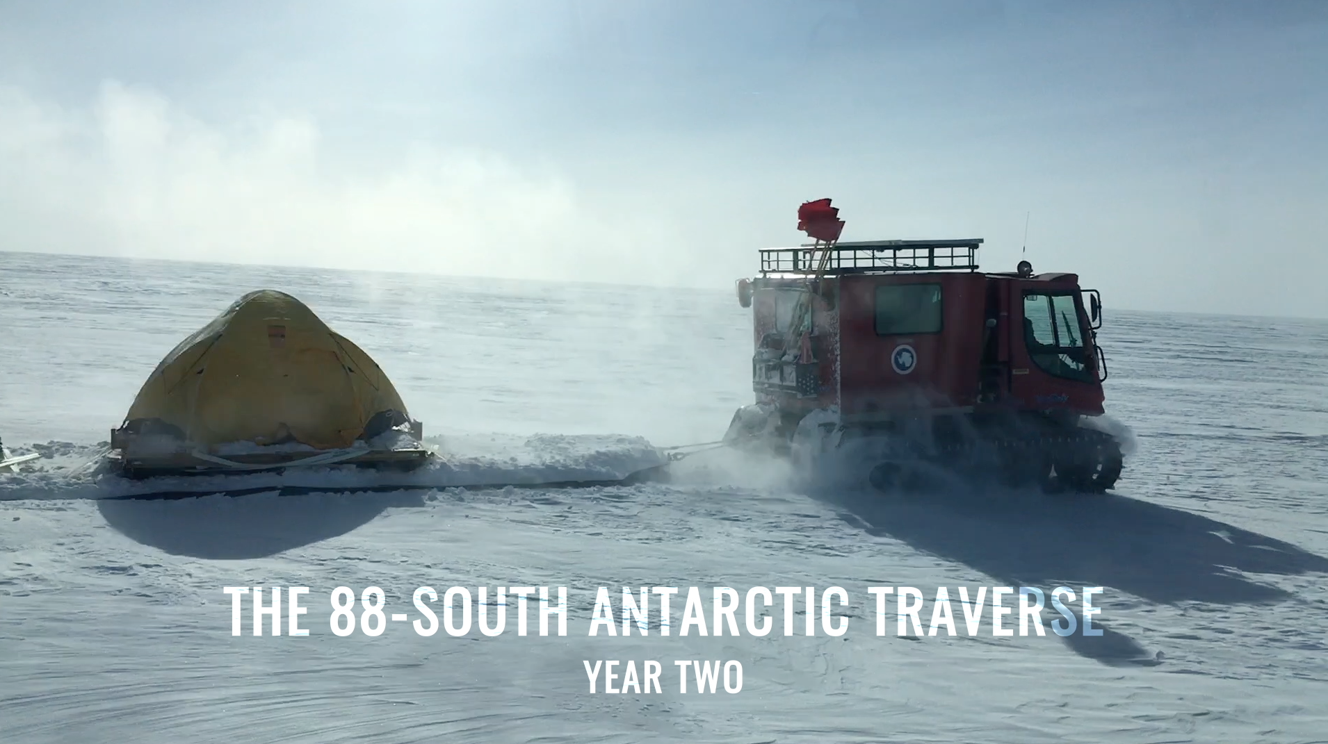
The 88-South Antarctic Traverse
NASA cryospheric scientist Kelly Brunt and ICESat-2 Deputy Project Scientist Tom Neumann recall some of the highlights and challenges from the recent 88-South Antarctic Traverse.
Music: "Lights," Alexius Tschallener [SUISA], Dominik Johnson [PRS]; "Vulnerable Moment," John Ashton Thomas [PRS]
Complete transcript available.
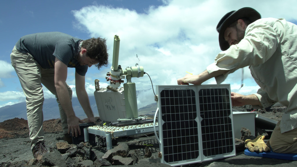
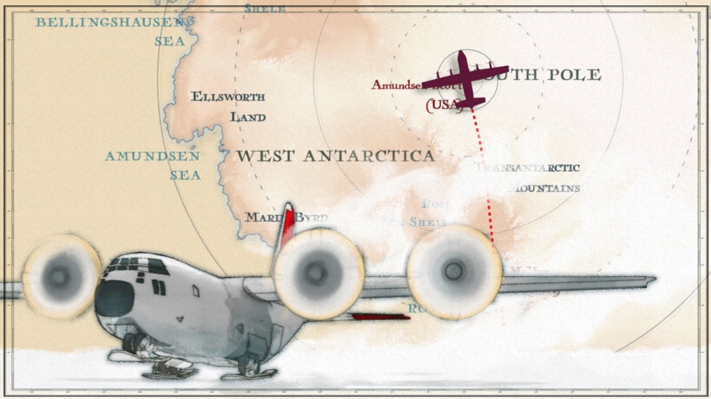
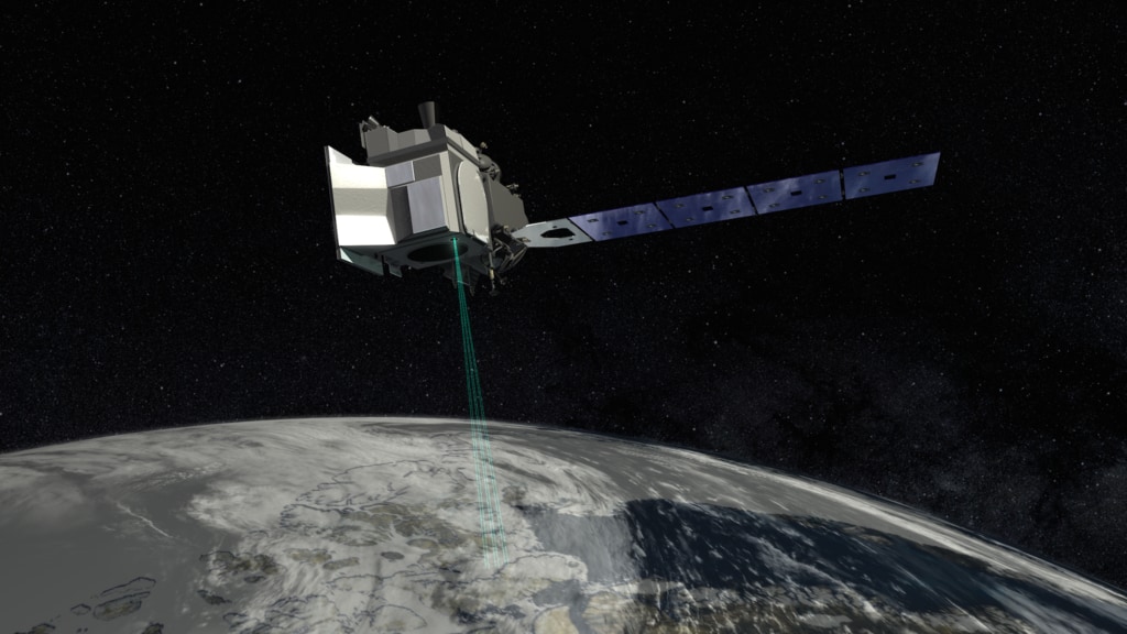
With extreme cold-weather gear, scientific instruments, and two tank-like snow machines called PistenBullys, NASA scientists began a traverse on December 21 along section of the 88-degree south latitude line in an arc around the South Pole, documenting a new route across the Antarctic ice. The 470-mile expedition in one of the most barren landscapes on Earth provided the best assessment of the accuracy of data collected from space by the Ice Cloud and land Elevation Satellite-2 (ICESat-2), set to launch in 2018. With a fast-firing laser instrument, ICESat-2 will measure the elevation of ice sheets and track how much they change over time. Even small amounts of melt across areas as vast as Greenland or Antarctica can result in large amounts of meltwater contributing to sea level rise. To help document this, ICESat-2's height change measurements will have a precision of less than an inch – ground-truthed, in part, with efforts like this Antarctic campaign. The team will collected precise GPS data of the elevation at 88 degrees south, where ICESat-2’s orbits converge, providing thousands of points where the survey measurements can be compared to satellite data.
B-roll selects 1
B-roll selects 2
Credits
Please give credit for this item to:
NASA's Goddard Space Flight Center
-
Producer
- Ryan Fitzgibbons (USRA)
-
Scientists
- Kelly Brunt (Earth System Science Interdisciplinary Center/University of Maryland)
- Thomas A. Neumann (NASA/GSFC)
- Thorsten Markus (NASA/GSFC)
-
Interviewees
- Kelly Brunt (Earth System Science Interdisciplinary Center/University of Maryland)
- Thomas A. Neumann (NASA/GSFC)
-
Videographers
- Rob Andreoli (Advocates in Manpower Management, Inc.)
- Chad Seay (NSF)
- Kelly Brunt (Earth System Science Interdisciplinary Center/University of Maryland)
- Thomas A. Neumann (NASA/GSFC)
-
Editor
- Ryan Fitzgibbons (USRA)
-
Visualizer
- Greg Shirah (NASA/GSFC)
-
Animator
- Adriana Manrique Gutierrez (USRA)
Release date
This page was originally published on Friday, March 30, 2018.
This page was last updated on Monday, July 17, 2023 at 10:47 PM EDT.
Missions
This visualization is related to the following missions:Series
This visualization can be found in the following series:Related
- ID: 14197
 Produced Video
 - ID: 14116

- ID: 13206
 Produced Video
 - ID: 12809
 Produced Video
Used as a Source In
- ID: 12984
 Produced Video