Landsat sensors: pushbroom vs whiskbroom
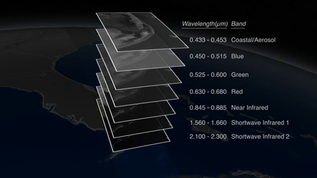
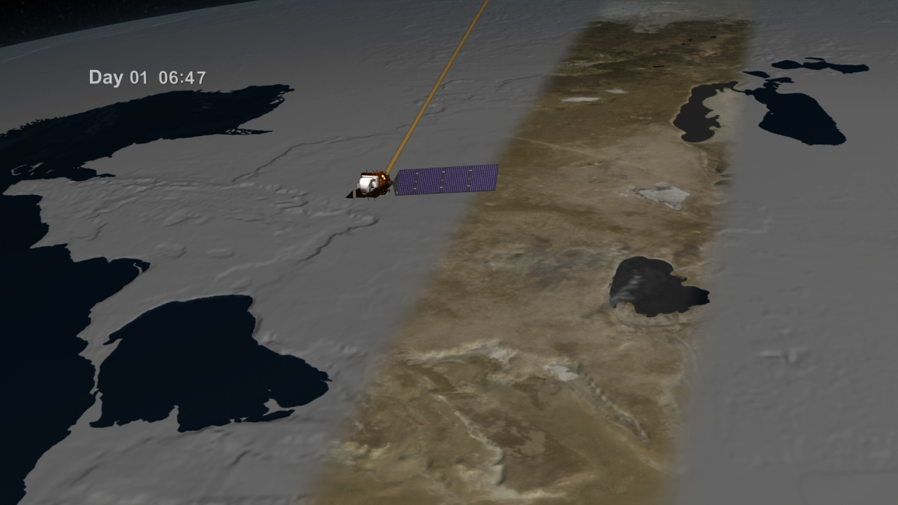
Landsat collects images in long narrow strips called “swaths.” Each swath is 185 kilometers (115 miles) wide and is 2,752 kilometers (1,710 miles) from the next adjacent swath taken that day. It takes 16 days for the swaths to overlap enough to image the whole Earth.
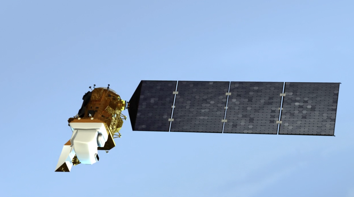
Previous Landsat sensors swept back and forth across the swath like a whisk broom to collect data. The sensor looked at a calibration source at the end of every row, which means that measurements were consistent from orbit to orbit. But this sensor design requires fast-moving parts, which are more likely to break.—and which did on Landsat 7.
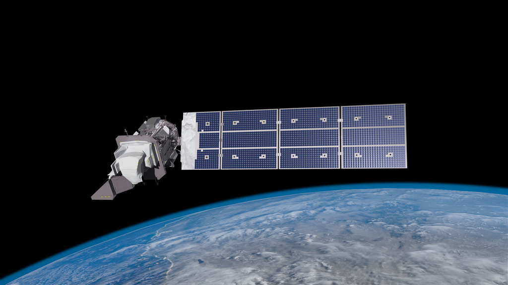
In contrast, the instruments on Landsat 8 view across the entire swath at once, building strips of data like a pushbroom. This approach requires no moving parts and gives the sensor detectors greater dwell time. The pushbroom instrument is smaller and lighter than previous whisk broom instruments, but its calibration is much more complex given the large number of detectors.
“It was a natural step to evolve to a pushbroom sensor. The technology was proven on other satellites, and we knew we could get better accuracy. The pushbroom has no moving parts. It is a newer and more reliable technology.” explains Terry Arvidson, senior project engineer.
For more information on the future of Landsat instruments, read https://landsat.gsfc.nasa.gov/landsat-9/instruments/.
The instruments on Landsat 8 have linear detector arrays, also called "pushbroom" detectors, which collect data across the entire image swath at once.
Landsat 7, and previous Landsat satellites, had detectors that swept back-and-forth, like a whisk broom, as they collected data across the image swath.
Credits
Please give credit for this item to:
NASA's Goddard Space Flight Center
-
Producer
- Matthew R. Radcliff (USRA)
-
Technical support
- Aaron E. Lepsch (ADNET Systems, Inc.)
-
Scientist
- James R. Irons (NASA/GSFC)
-
Animator
- Tyler Chase (USRA)
Release date
This page was originally published on Tuesday, October 31, 2017.
This page was last updated on Wednesday, May 3, 2023 at 1:47 PM EDT.
Missions
This visualization is related to the following missions:Related
- ID: 13259
 Produced Video
 - ID: 11491
 Produced Video
 - ID: 11481
 Produced Video
Used as a Source In
- ID: 11166
 Produced Video