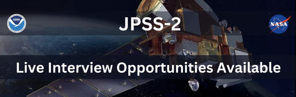
11.2.2017 Live Shots: NASA To Rocket NOAA’s Newest Weather Satellite Into Space Next Week
B-roll that goes with the following questions:
1. How will this new satellite improve our forecasts?
2. How will this satellite help us be more prepared for hurricanes, snowstorms, wildfires and other
extreme weather?
3. What kinds of economic benefits can we expect from this satellite?
4. How will this satellite work with the other weather satellites in space?
5. Where can we learn more?
New NOAA Satellite Will Improve Emergency Response to Hurricanes and Wildfires
NASA To Rocket NOAA’s Newest Weather Satellite Into Space Next Week
In just one week the nation will add a powerful new tool to its weather satellite fleet. On Nov. 10, NASA will rocket the newest NOAA weather satellite into space. The Joint Polar Satellite System-1, or JPSS-1, will be a powerhouse, providing scientists and meteorologists with vital data about a variety of weather-related extremes like hurricanes, floods, blizzards and wildfires. The satellite will also play a critical role in improving the accuracy of forecasts from three to seven days out.
The United States has suffered a slew of deadly, calamitous hurricanes and wildfires this year. Join NOAA scientists from 6:00-11:30 a.m. ET on Thursday, Nov. 2 — just days before launch — to learn about how timely data from JPSS will help forecasters and emergency managers get ahead of future natural disasters. JPSS-1 is the first of four new weather satellites in this series, which is a joint collaboration between NOAA and NASA.
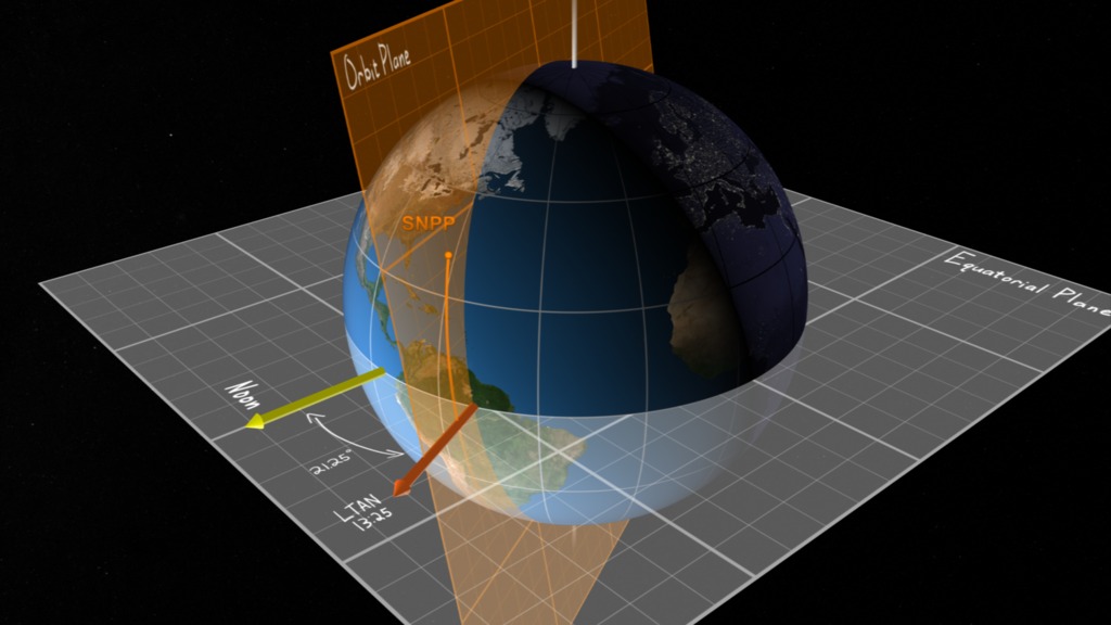
JPSS-1 is a polar-orbiting satellite that will collect planet-wide measurements 14 times a day from 512 miles above Earth’s surface. That kind of complete, global coverage, combined with critical observations from other weather satellites, like the GOES series, leads to more accurate forecasts. Having a clearer picture of your weather forecast not only helps you plan your weekend — it also helps meteorologists and emergency managers make important life-saving decisions about how to prepare their communities.
*****To book a window contact: ***** Micheala Sosby / micheala.m.sosby@nasa.gov / 301-286-8199
HD Satellite Coordinates for G17-K18 Upper: Galaxy 17 Ku-band Xp 18 Slot Upper| 91.0 ° W Longitude | DL 12069.0 MHz | Vertical Polarity | QPSK/DVB-S | FEC 3/4 | SR 13.235 Mbps | DR 18.2954 MHz | HD 720p | Format MPEG2 | Chroma Level 4:2:0 | Audio Embedded
Suggested Questions:
1. How will this new satellite improve our forecasts?
2. How will this satellite help us be more prepared for hurricanes, snowstorms, wildfires and other extreme weather?
3. What kinds of economic benefits can we expect from this satellite?
4. How will this satellite work with the other weather satellites in space?
5. Where can we learn more?
Location: NASA's Goddard Space Flight Center/Greenbelt, Maryland
Scientists:
Dr. Mitch Goldberg / NOAA, Chief Program Scientist, JPSS
Vanessa Griffin / NOAA, Director of the Office of Satellite and Product Operations
Joe Pica / NOAA National Weather Service, Director of Observations
Vanessa Griffin / NOAA, Director of the Office of Satellite and Product Operations
Soundbites are separated by a slate. TRT 3:30
Includes full text of the soundbites
Joe Pica / NOAA National Weather Service, Director of Observations.
Soundbites are separated by a slate
Includes full text of the soundbites
Credits
Please give credit for this item to:
NASA's Scientific Visualization Studio
-
Producers
- Micheala Sosby (NASA/GSFC)
- Michelle Handleman (USRA)
-
Editor
- Michael Randazzo (Advocates in Manpower Management, Inc.)
Release date
This page was originally published on Thursday, November 2, 2017.
This page was last updated on Wednesday, May 3, 2023 at 1:47 PM EDT.
Related
- ID: 14223
- ID: 13569
- ID: 12643
 Produced Video
 - ID: 4430
 Visualization