A 3D Forest Map

Lasers, droughts, and a 3D view: NASA maps the Amazon to examine tree mortality.
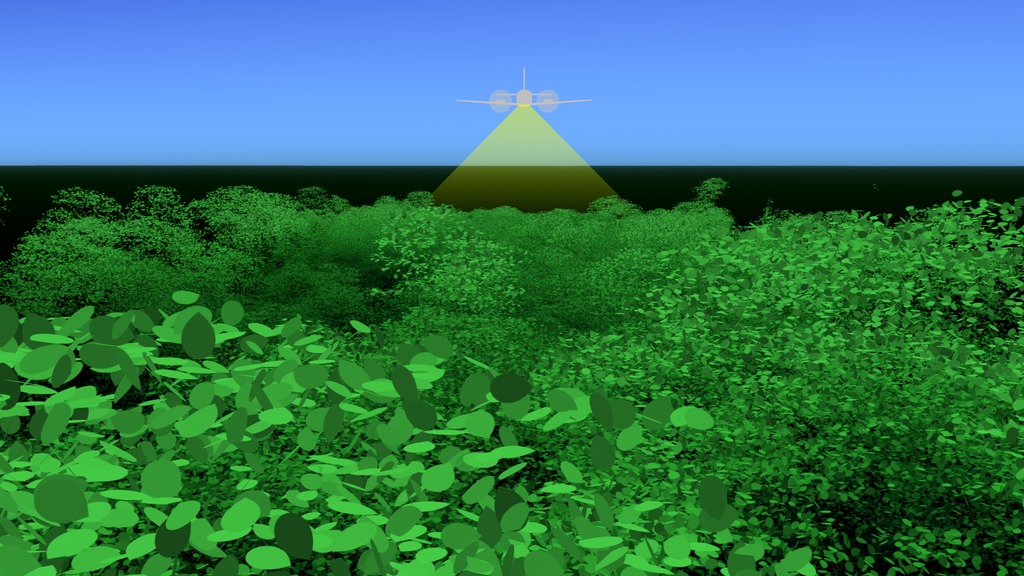
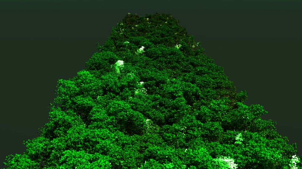
For the tall tree canopy of the Amazon rainforest, 3-dimensional maps made by airborne laser technology are giving scientists a new perspective on tree mortality. The high-resolution scans are created from a light detection and ranging, or LiDAR, instrument that sends out 300,000 pulses of light per second that bounce off of leaves and branches and record their height. NASA researchers used these detailed 3D maps of the forest canopy taken in 2013, 2014, and 2016 to find gaps where trees and large branches have fallen and analyze how the forest responds to environmental changes over time. During the non-El Niño period from 2013 to 2014, the branch and tree fall events altered 1.8 percent of the forest canopy in the study area, a small number on the surface but scaled up to the size of the entire Amazon, it's the equivalent of losing canopy trees or branches over 38,000 square miles, or the area of Kentucky. Tree and branch mortality was 65 percent higher during the El Niño drought period from 2014 to 2016, or 65,000 square miles, the size of Wisconsin. Small changes in the Amazon add up. In addition to understanding the immediate effects of dryer years, droughts are also good indicators of how forests will behave in future warmer climates. Watch the video to learn more.
Learn how scientists are working to understand how tropical forests react to droughts.
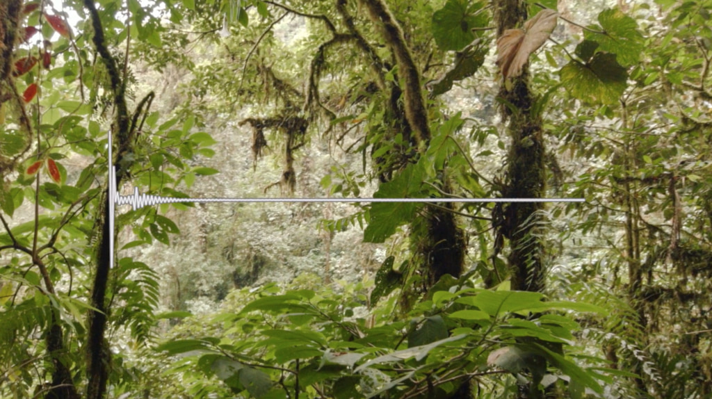
The LiDAR measures the time it takes photons to bounce off the treetops and back to the instrument to calculate the height for each point.
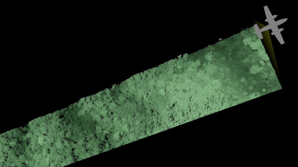
Data was collected above two 30-mile swaths near Santarém, Brazil. In a logged region, highlighted trees seen in 2013 were absent in 2016.
NASA’s team joined Brazilian scientists to gather data from the forest floor to tie airborne data to what happened on the ground.
For More Information
See NASA.gov
Credits
Please give credit for this item to:
NASA's Scientific Visualization Studio
Photo of scientists gathering data from the forest floor courtesy of NASA/Veronika Leitold
-
Animator
- Alex Kekesi (Global Science and Technology, Inc.)
-
Producer
- Jefferson Beck (USRA)
-
Scientist
- Doug C. Morton (NASA/GSFC)
-
Writers
- Ellen T. Gray (ADNET Systems, Inc.)
- Caitlin Trenkle (Experiential Learning Program, UMD)
Release date
This page was originally published on Thursday, February 21, 2019.
This page was last updated on Wednesday, May 3, 2023 at 1:46 PM EDT.
Related
- ID: 14198
- ID: 4530
 Visualization
 - ID: 4651
 Visualization
 - ID: 4652
Sources
- ID: 4532
 Visualization
 - ID: 12982
 Produced Video