Visualizing Carbon Monoxide

A NASA satellite maps an invisible pollutant and its sources.
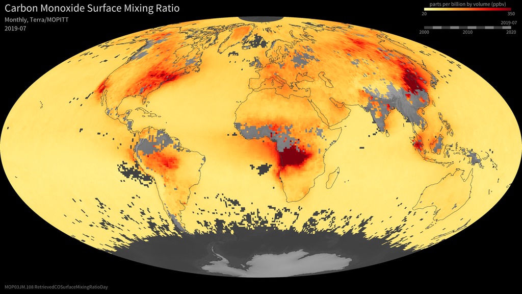
Carbon monoxide is a colorless, odorless gas that emerges from wildfires, vehicle tailpipes and other human sources. Once in the atmosphere it is one of the ingredients for ground-level ozone, a harmful pollutant that contributes to smog—sometimes thousands of miles from where the carbon monoxide originated. An instrument aboard NASA's Terra satellite called Measurements of Pollutants in the Troposphere, or MOPITT, was the first dedicated to tracking sources of carbon monoxide from space and monitoring levels across the globe. And the news is good. Satellite measurements of carbon monoxide since 2000 show that emissions have declined at a rate of one percent per year. Watch the video to see monthly changes in global carbon monoxide levels from 2000 to 2013.
This video shows carbon monoxide levels observed by NASA's Terra satellite from April 2000 to September 2013. Gray regions indicate no data.
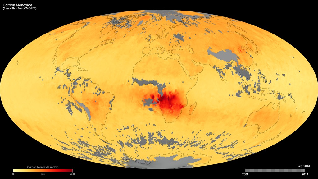
Carbon monoxide levels peak during spring in the Northern Hemisphere. This map shows the average emissions for April 2004.
Map of average carbon monoxide emissions for April 2008.
Map of average carbon monoxide emissions for April 2013.
Credits
Please give credit for this item to:
NASA's Goddard Space Flight Center
Video and images courtesy of NASA Earth Observatory/Jesse Allen
-
Animator
- Jesse Allen (Sigma Space Corporation)
-
Writer
- Ellen T. Gray (ADNET Systems, Inc.)
Release date
This page was originally published on Tuesday, April 14, 2015.
This page was last updated on Wednesday, May 3, 2023 at 1:49 PM EDT.
Related
- ID: 31076
 Hyperwall Visual
 - ID: 30391
 Hyperwall Visual