Earth Mapper
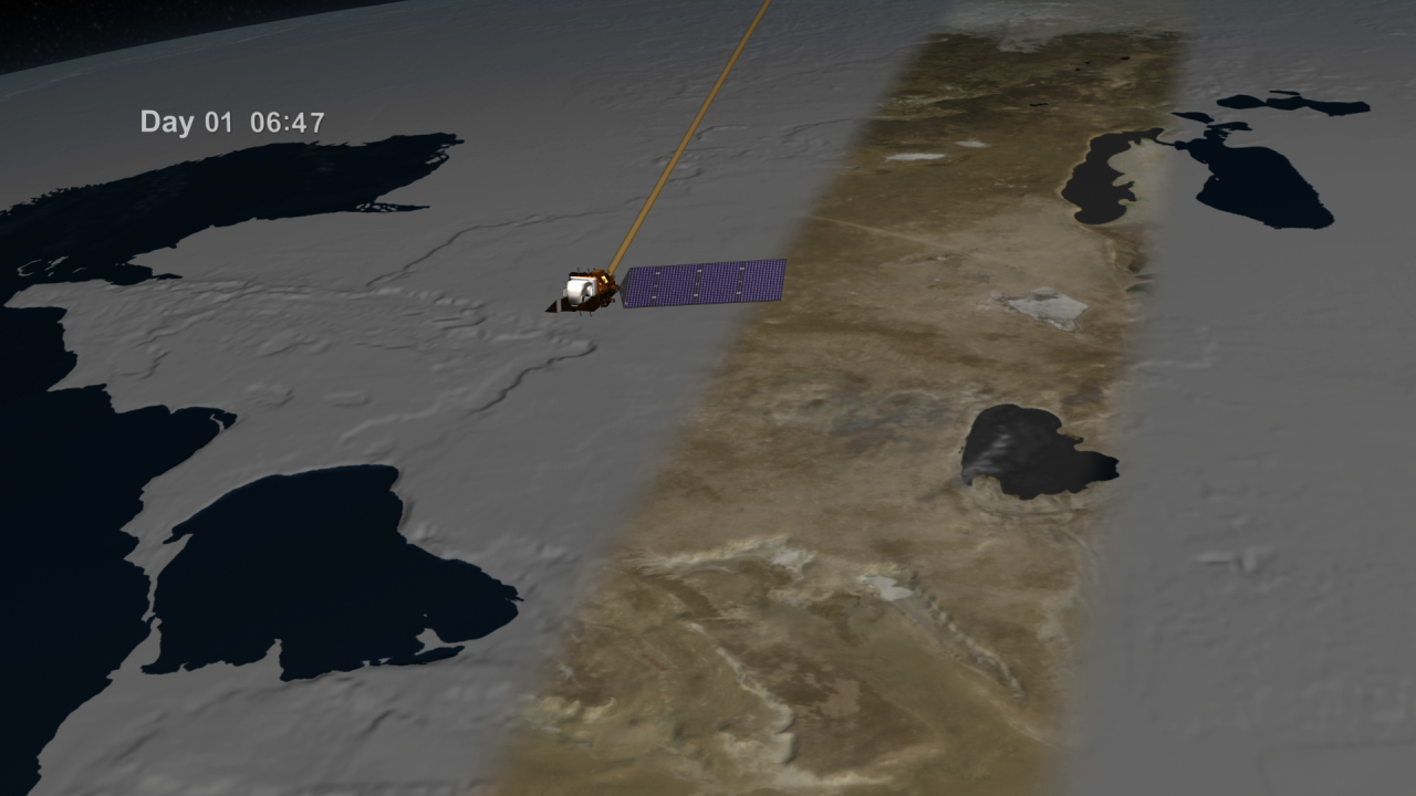
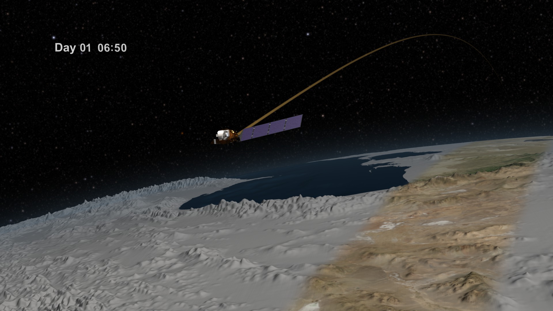
Since its launch in February 2013, the Landsat 8 satellite has collected detailed views of Earth’s surface. The satellite images a continuous strip of land 115 miles across, or about the width of Florida’s peninsula, as it circles the poles. As the planet rotates, the view beneath the satellite’s detector shifts, allowing it to glimpse a new parade of forests, farmland, cities, glaciers and more. The satellite gathers data on roughly half of Earth’s surface every eight days, and the entire planet every 16 days. Landsat 8 is a joint NASA and U.S. Geological Survey mission, and is the latest in the Landsat series of Earth-observing satellites that have continuously monitored land cover for more than four decades. Watch the video to learn more.

Explore how the Landsat 8 satellite captures views of our planet, one strip at a time.
Find out how the satellite’s views of Earth line up in this video narrated by Landsat 8 project scientist Jim Irons.
Burned land (center) can be seen in this image of Yosemite National Park taken by Landsat 8 in September 2013.
Russia's Taz River appears partially covered in ice in this Landsat 8 image taken in June 2013.
Landsat 8 captured this image of Mount Shasta in January 2014.
It took about three dozen orbits for Landsat 8 to generate this composite view of the United States.
For More Information
See NASA.gov
Credits
Please give credit for this item to:
NASA's Goddard Space Flight Center
Yosemite image courtesy of NASA Earth Observatory/Robert Simmon
Taz River image courtesy of NASA Earth Observatory/Jesse Allen and Robert Simmon
Mount Shasta image courtesy of NASA Earth Observatory/Robert Simmon
United States image courtesy of USGS/NASA/WELD/David Roy
-
Animators
- Cindy Starr (Global Science and Technology, Inc.)
- Greg Shirah (NASA/GSFC)
- Ernie Wright (USRA)
- Walt Feimer (HTSI)
- Rachel Kreutzinger (USRA)
-
Video editor
- Matthew R. Radcliff (USRA)
-
Interviewee
- James R. Irons (NASA/GSFC)
-
Narrator
- James R. Irons (NASA/GSFC)
-
Producer
- Matthew R. Radcliff (USRA)
-
Scientist
- James R. Irons (NASA/GSFC)
-
Writer
- Kate Ramsayer (Telophase)
Release date
This page was originally published on Thursday, April 17, 2014.
This page was last updated on Wednesday, May 3, 2023 at 1:50 PM EDT.
Related
- ID: 11481
 Produced Video
 - ID: 3939
 Visualization