Briefing Materials: Taking Landsat to the Extreme
At 2:30pm (PST) on Monday, Dec. 9, 2013, there was be a press conference as part of the American Geophysical Union Fall Meeting.
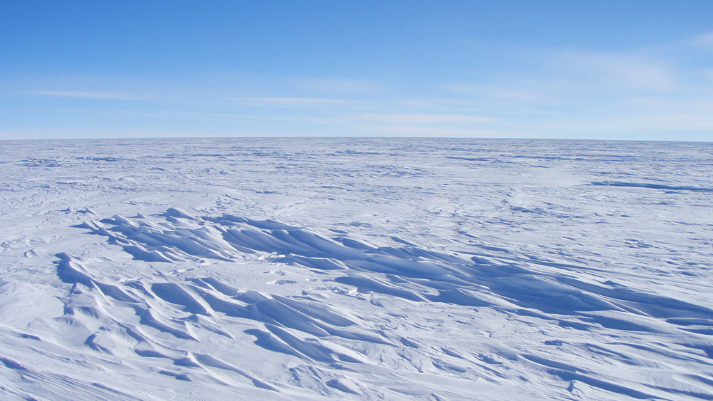
What is the coldest place in the world? It is a high ridge in Antarctica on the East Antarctic Plateau where temperatures in several hollows can dip below minus 133.6° Fahrenheit (minus 92° Celsius) on a clear winter night – colder than the previous recorded low temperature.
Scientists at the National Snow and Ice Data Center made the discovery while analyzing the most detailed global surface temperature maps to date, developed with data from remote sensing satellites including the MODIS sensor on NASA's Aqua satellite, and the TIRS sensor on Landsat 8, a joint project of NASA and the U.S. Geological Survey (USGS).
The researchers analyzed 32 years of data from several satellite instruments that have mapped Antarctica's surface temperature. Near a high ridge that runs from Dome Arugs to Dome Fuji, the scientists found clusters of pockets that have plummeted to record low temperatures dozens of times. The lowest temperature the satellites detected – minus 136° F (minus 93.2° C), on Aug. 10, 2010.
The new record is several degrees colder than the previous low of minus 128.6° F (minus 89.2° C), set in 1983 at the Russian Vostok Research Station in East Antarctica. The coldest permanently inhabited place on Earth is northeastern Siberia, where temperatures dropped to a bone-chilling 90 degrees below zero F (minus 67.8° C) in the towns of Verkhoyansk (in 1892) and Oimekon (in 1933).
Related feature story: http://www.nasa.gov/content/goddard/nasa-usgs-landsat-8-satellite-pinpoints-coldest-spots-on-earth
Briefing Speakers
Ted Scambos, National Snow and Ice Data Center (NSIDC), Cooperative Institute for Research in Environmental Sciences (CIRES), University of Colorado Boulder, Boulder, Colorado, USA;
Jim Irons, Landsat 8 Project Scientist, NASA's Goddard Space Flight Center, Greenbelt, Maryland.
Presenter 1: Ted Scambos

The coldest temperatures in the world are found on the East Antarctic Plateau. This image shows a map of the Land Surface Temperature as measured bythe MODIS sensor on NASA's Aqua satellite, with the clear-sky scenes from the NASA/USGS Landsat 8 satellite used in the study marked in purple.
The coldest place on earth is in the East Antarctic Plateau, but not at the highest peak. Rather, the coldest spots develop just donwhill from a ridge that runs from Dome A to Dome Fuji. Data from NASA-USGS Landsat 8 satellite, and NASA's MODIS sensor on the Aqua satellite.
For complete transcript, click here.
Narrated animation showing the process by which the coldest place on earth develops its extreme low temperatures.
For complete transcript, click here.
No display group. File needed for Landsat gallery.
Credits
Please give credit for this item to:
NASA's Goddard Space Flight Center except for the items listed under Ted Scambos, which are credited to NASA's Goddard Space Flight Center based on data from the National Snow and Ice Data Center.
-
Animators
- Lori Perkins (NASA/GSFC)
- Matthew R. Radcliff (USRA)
-
Video editor
- Matthew R. Radcliff (USRA)
-
Producer
- Matthew R. Radcliff (USRA)
-
Scientists
- Ted Scambos (NSIDC)
- James R. Irons (NASA/GSFC)
-
Videographer
- Matthew R. Radcliff (USRA)
-
Writer
- Kate Ramsayer (Telophase)
Release date
This page was originally published on Monday, December 9, 2013.
This page was last updated on Wednesday, May 3, 2023 at 1:51 PM EDT.
Missions
This visualization is related to the following missions:Series
This visualization can be found in the following series:Tapes
This visualization originally appeared on the following tapes:-
Coldest Place on Earth
(ID: 2013096)
Monday, December 9, 2013 at 5:00AM
Produced by - Walt Feimer (HTSI)
Related
- ID: 11415
 Produced Video