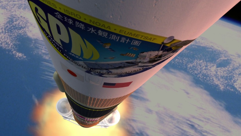
Liftoff
Caught outside during a severe storm? Maybe next time you won’t have to be thanks to the latest addition to NASA’s Earth-observing satellite fleet. The Global Precipitation Measurement (GPM) Core Observatory launched into space on February 27, 2014. The satellite is equipped with two instruments designed to scan our planet's atmosphere and generate 3D maps of rainfall and snowfall. Such measurements are part of an international effort led by NASA and the Japan Aerospace Exploration Agency (JAXA) to improve space-based monitoring of precipitation, with the goal of creating global precipitation data sets that are updated every three hours. Knowing how much rain and snow falls worldwide every few hours will help scientists predict extreme weather events. Watch the video to learn more.

NASA’s newest satellite ushers in the future of tracking global precipitation.
Learn more about the GPM Core Observatory in this video.
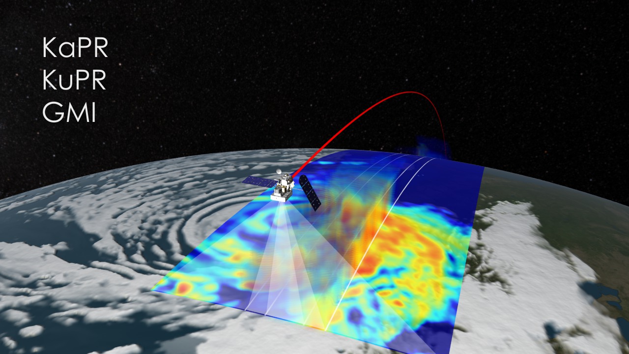
The GPM Core Observatory observes rain and snow using an advanced radiometer and dual-frequency precipitation radar.
The satellite's instruments scan Earth's atmosphere, collecting a continuous swath of data.
Precipitation measurements collected by a network of satellites will be combined to create a global picture of rain and snow fall.
For More Information
See NASA.gov
Credits
Please give credit for this item to:
NASA's Goddard Space Flight Center
-
Animators
- Walt Feimer (HTSI)
- Michael Lentz (USRA)
- Chris Meaney (HTSI)
- Trent L. Schindler (USRA)
- Ernie Wright (USRA)
-
Video editor
- Ryan Fitzgibbons (USRA)
-
Interviewees
- Arthur Hou (NASA/GSFC)
- Gail Skofronick Jackson (NASA/GSFC)
- Dalia B Kirschbaum (NASA/GSFC)
- Candace C Carlisle (NASA/GSFC)
- Ardeshir A Azarbarzin (NASA/GSFC)
-
Producer
- Ryan Fitzgibbons (USRA)
-
Scientists
- Arthur Hou (NASA/GSFC)
- Dalia B Kirschbaum (NASA/GSFC)
-
Videographer
- Rob Andreoli (Advocates in Manpower Management, Inc.)
-
Writer
- Kayvon Sharghi (USRA)
Release date
This page was originally published on Tuesday, March 11, 2014.
This page was last updated on Wednesday, May 3, 2023 at 1:51 PM EDT.
Related
- ID: 11253
 Produced Video
 - ID: 11221
 Produced Video
 - ID: 4016